Cathance with Jeff
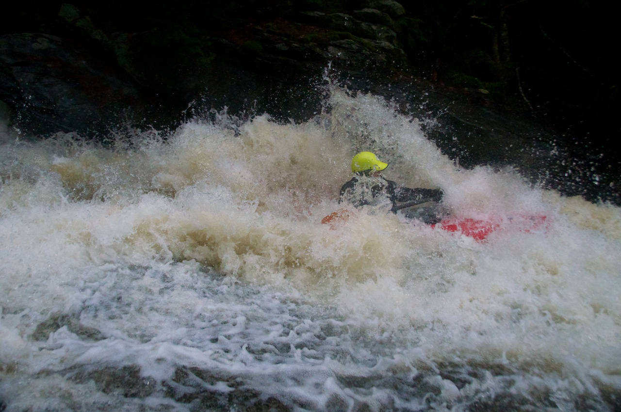
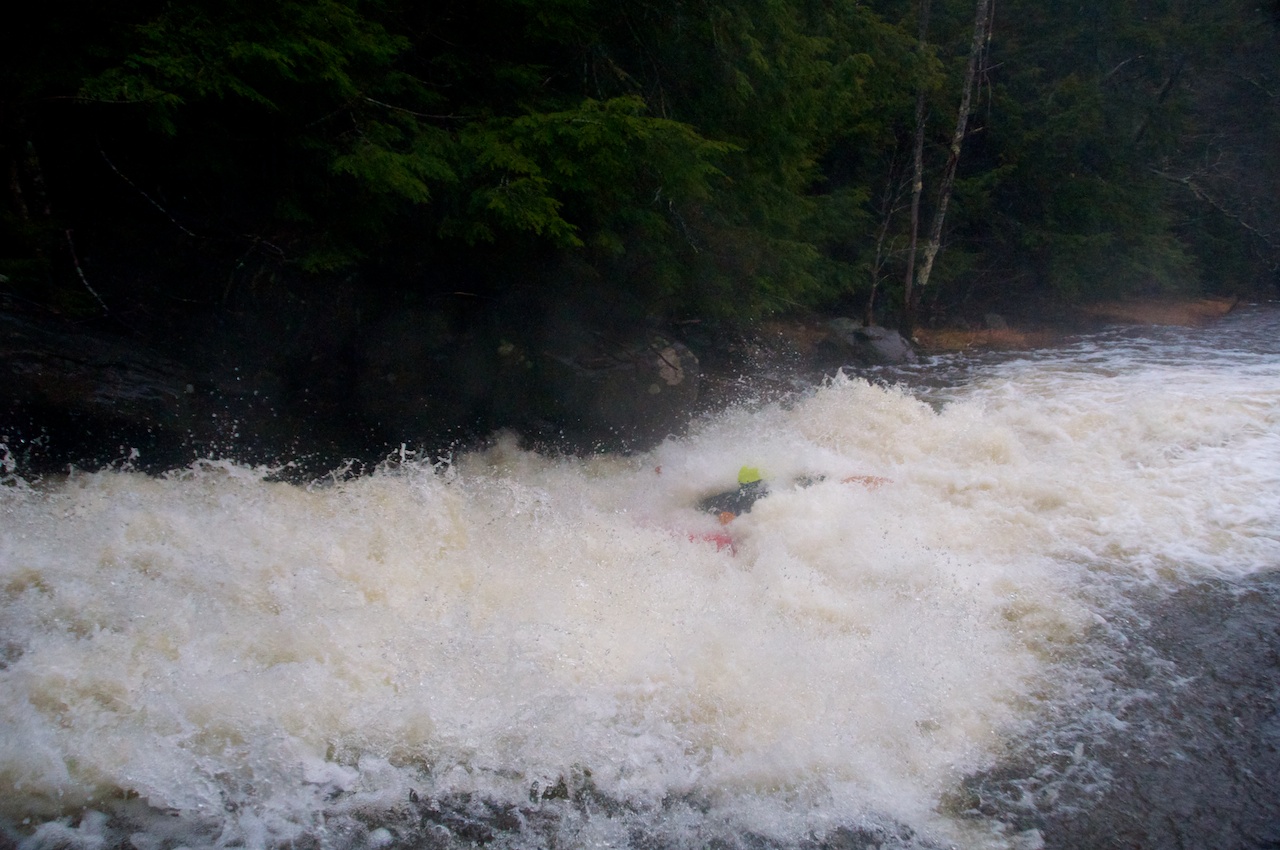
The nice thing about paddling in the rain is you are already wet. The bad thing is that it's hard to take many pictures, but Magic Carpet Ride on the Cathance provides a good enough excuse to expose the camera to a blustery day.
The nice thing about paddling in the rain is you are already wet. The bad thing is that it's hard to take many pictures, but Magic Carpet Ride on the Cathance provides a good enough excuse to expose the camera to a blustery day.
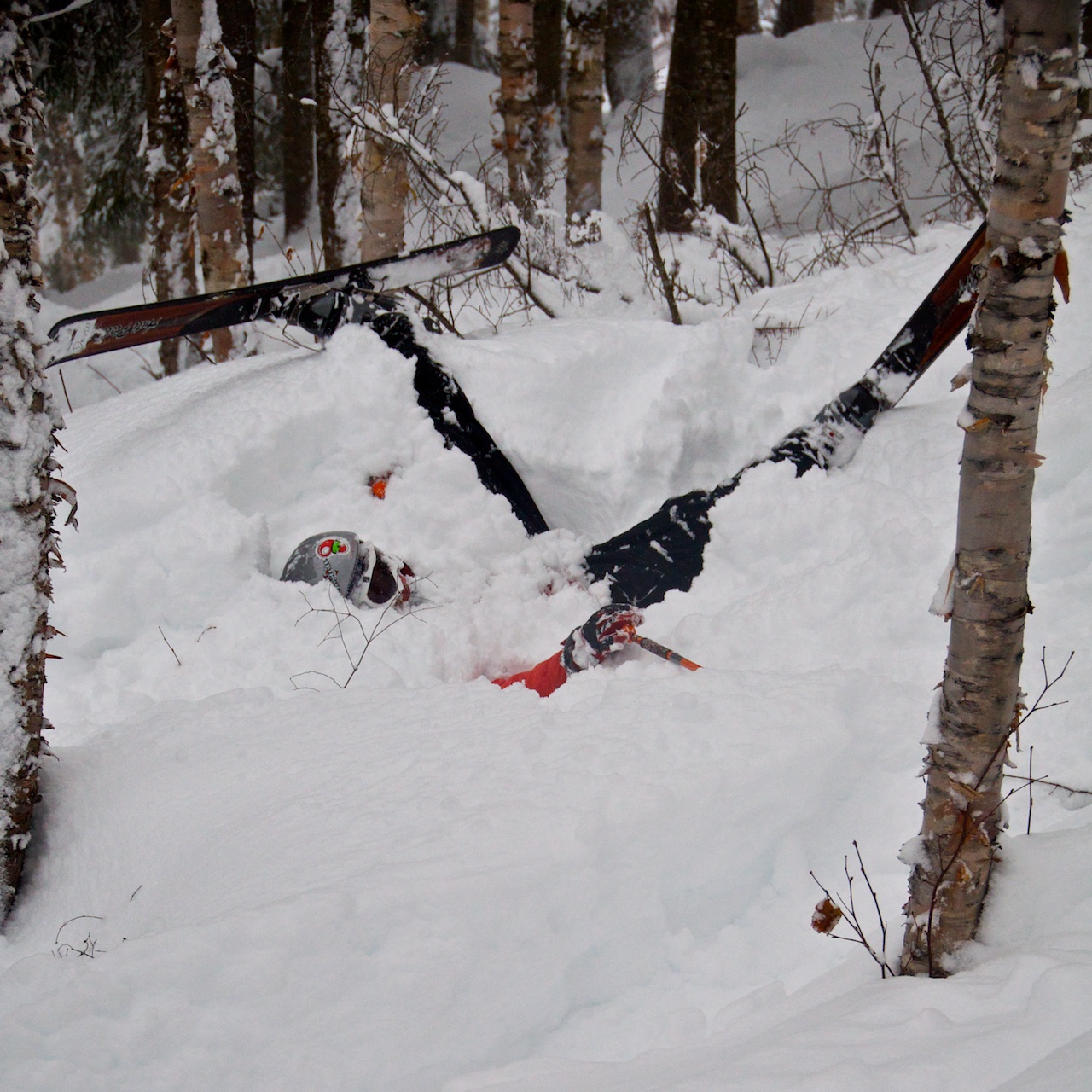
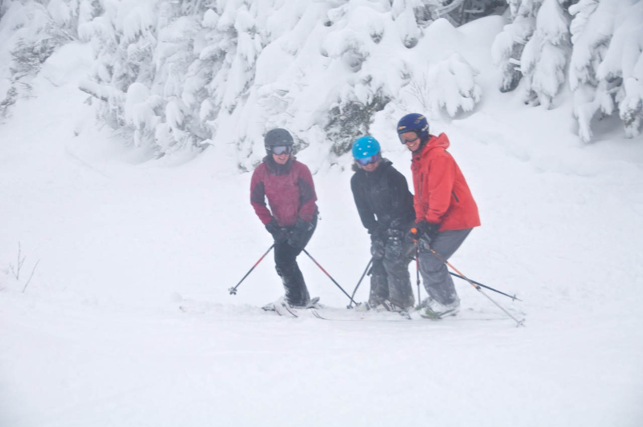
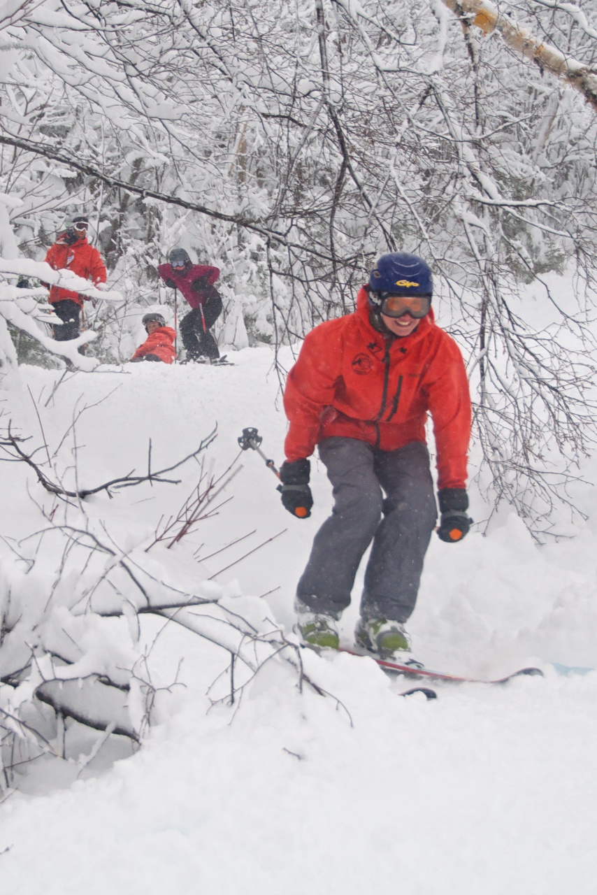
Just a couple of pics from hitting Sugarloaf with the Bowdoin Outing Club crew after an early season storm.
Binders full of Women?
Playing hooky.

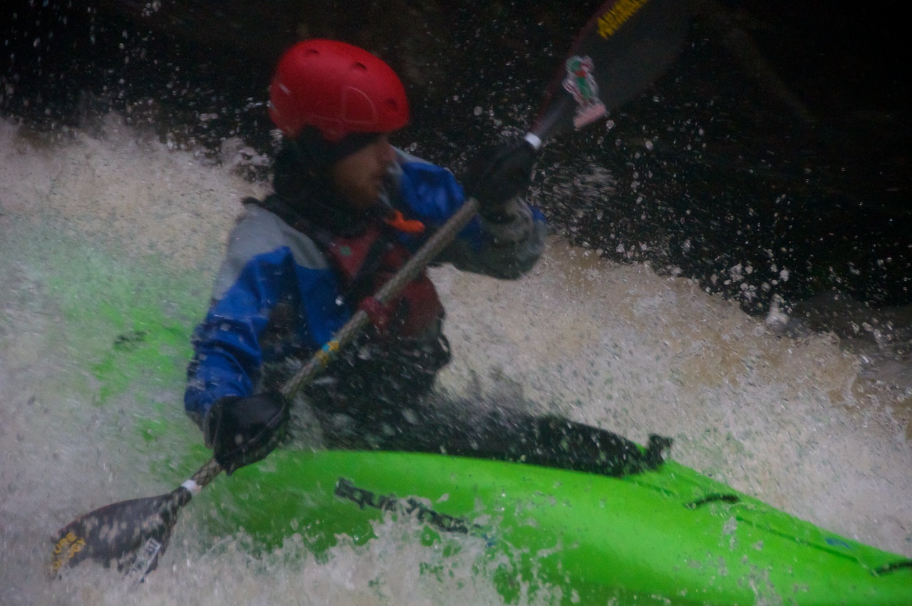
Just a couple of shots from paddling at Sheepscot yesterday on a 13.5 foot tide. Above is Jeff contemplating his choice of dishwashing gloves to keep his hands warm in 28° air and 24° water.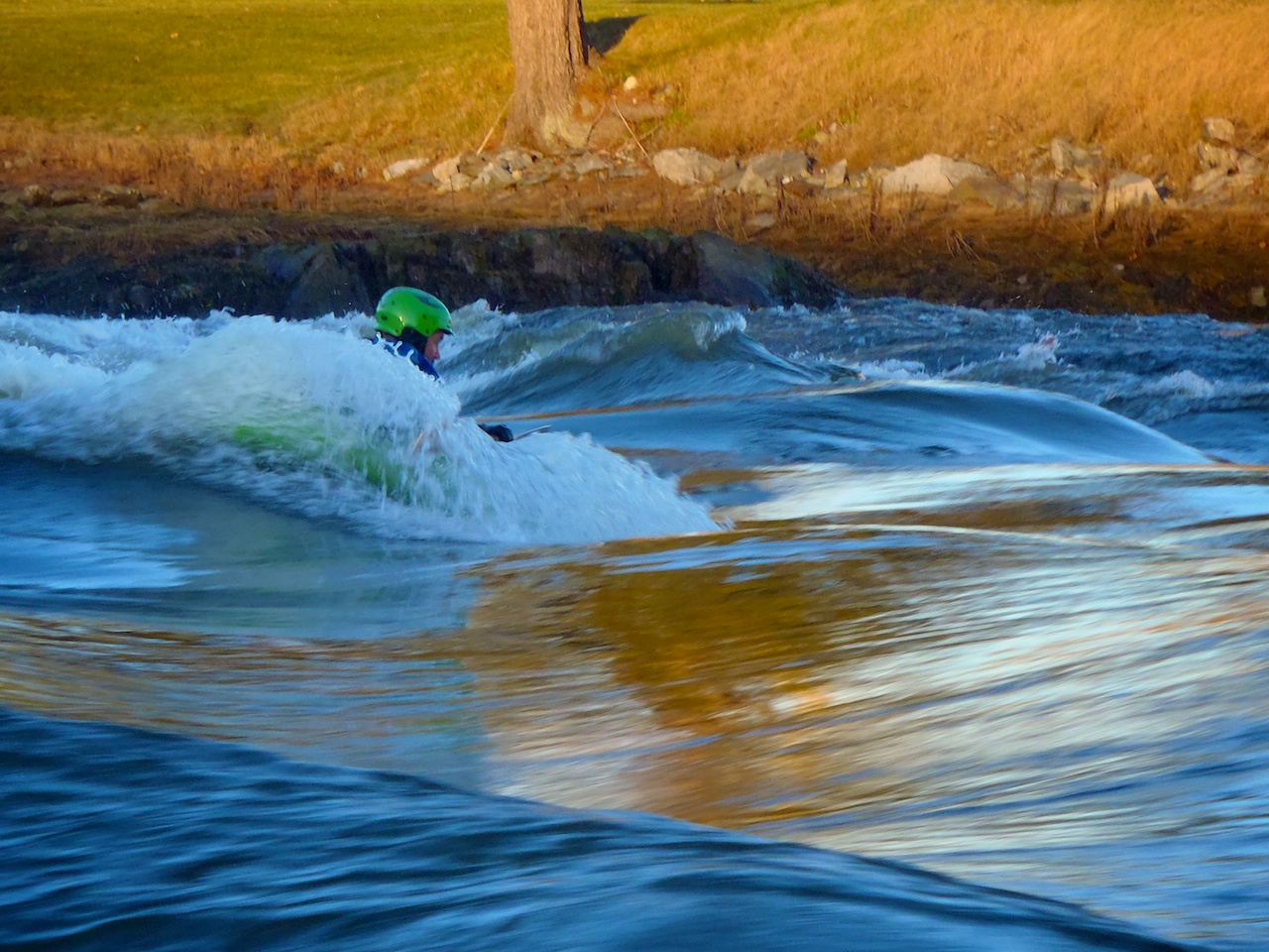
Ryan enjoying the middle wave. We had a couple minute party wave with all of us out there at once which doesn't happen often in December or on 13 foot tides.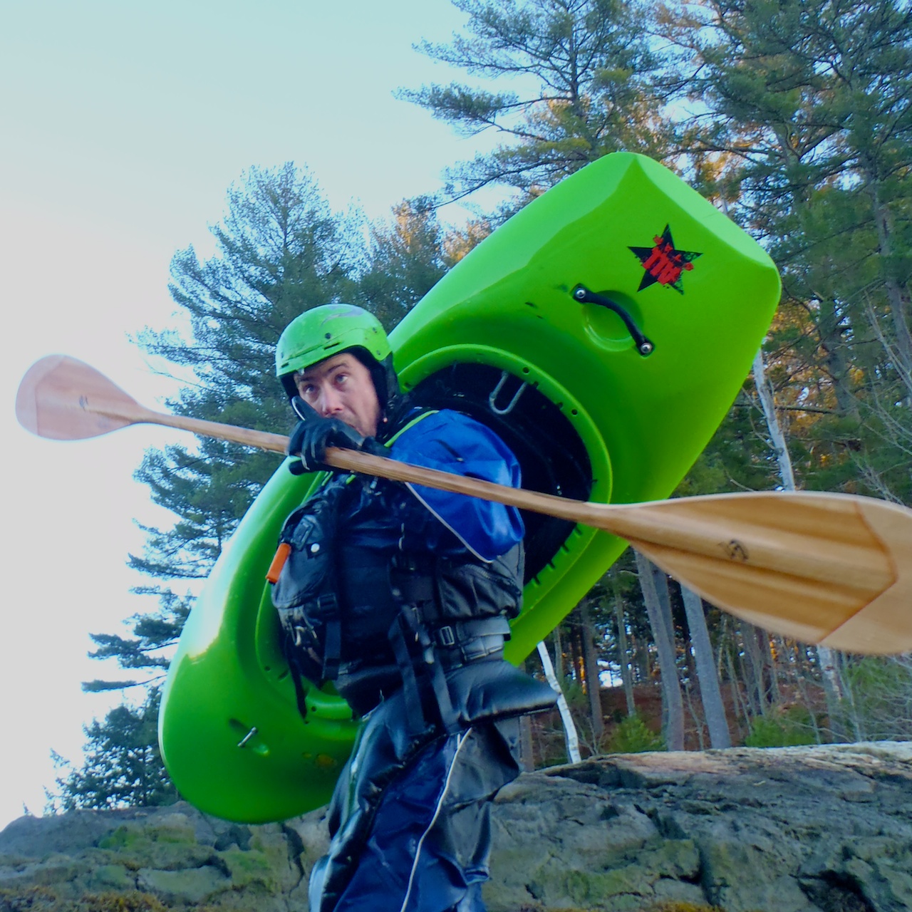
Is salt spray supposed to freeze that fast?
Things got a little strange as the sun went down.
I've realized that some email subscriptions aren't getting the featured images that go with posts, which is kinda a problem when the post only is really an image, so check on the site to see images if you don't see any in the email.
I got inspired at the polls.
Andii and I decided to explore the Mahoosuc Mountains over the weekend. As covering more terrain is usually more fun I looked for a loop. Day hiking loops in the Mahoosucs aren't the easiest to find, but they are there if you are creative, and have a sense of where there are trails that are not marked on any maps. Such as up Bull Branch to Mahoosuc Notch.
There's a few old logging roads that look like they get close to the notch looking at Delorme's and topos, but eventually I found mention that Outward Bound keeps a trail in up there. While hanging around Bethel this weekend I found that some of my high school teachers help keep the trail marked with orange and pink flagging tape. Looking at maps it's exactly where you would expect it to be.
Anyways Saturday was forecasted to be 75° and sunny but the Mahoosucs had their own plans. We woke up to find it overcast and misty which left me a little worried for the jungle gym that is the notch. As such I don't have too many pics from the trail up Bulls Branch and the photos start with a view into one of the simpler parts of the notch.

The Appalachian Trail through Mahoosuc Notch is comprised of scrambling over, around and under boulders dropped from the cliffsides on either side of the notch. The notch itself was carved during the last ice age but soils and vegetation couldn't colonize the cliff faces fast enough once the ice retreated to stabilize the cliffs and they came crashing down.

Andii tried to figure out just how far under the notch she could travel.
As we climbed up out of the Notch the sun decided to make it's appearance and we were able to see the clouds that we had been beneath.

Panorama from the top of South Fulling Mill. Definitely click to embiggen.
Apparently we are supposed to head this way.

And up here.

After the gorgeous trail past Full Goose shelter, North and East Goose Eye Peaks we made it to West Goose Eye where we relaxed a little and had lunch.

I even saw a very familiar sight to the South East, though from a rather new angle for me.
After lunch we left the AT and headed down the South Fork of Wright Trail which wanders around the South side of East Goose Eye before spending much of it's time near the ridge on the way down.

We don't need no staples or fancy boardwalks once we're back to blue blazing it.

We may have been a little tired as the pink elephants were leading the way down.

The clouds rolled back in as we descended blocking many of our views of what looked like it was going to be the most colorful drainage.

We managed a glimpse or two of the color.
Just as the two forks of the Wright Trail merge the trail begins to follow Goose Eye Brook down. While it will need some wood work before it's good to go, it looks like it would be a very cool run thought it likely takes a hurricane or snowmelt for it to run. There's even a logging road that would save you from having to hike up the narrower riverside trail with a boat for the gorge and slides at the bottom.
Pictures roughly working down from where the logging road joins the trail. Any boaters interested in this, I've got a whole lot more pictures of the wood and other worries, just give me a holler. I'd also love to head over there to take photos and set safety if anyone was actually gonna run it.


Just a single pic for now from hiking in the Mahoosucs over the weekend. More later.
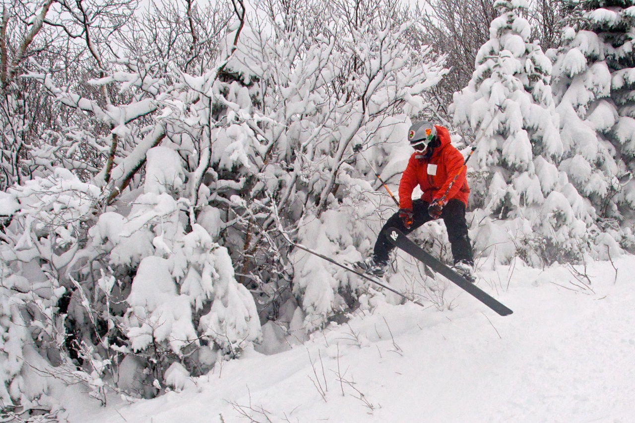
I headed up to Camden Snowbowl two days last week, the first day was for some trail building, and the second day was for my first taste of lift served riding during their harvest hootenanny.
Without the lifts turning you first need to get yourself up there. The view is always good even when it's a little gray.

Dropping into the top section of the new trail. I believe the name is Natty Tread. Anyways it's just too the right as you exit the lift. If your headed up under your own power, head up Pitch Pole/Whales Tale (starts with Jibe under the T-Bar line), and after lots of switch backs you'll see the top section coming down from the lift too the left, and then heading into the woods across the ski trails to the right.

This chute is a lot steeper than it looks, but completely ridable. It definitely ain't bad to take the first lap pretty slow. Some of the rollers and the bottom of the trail is very much still under construction.

Looking up another chute that was ridable by the Harvest Hoot. Notice the tools nearby...

Hopefully I can get up there some time with some other riders, my big camera, and some good light, so I can capture what has already become my favorite new trail.
For those of you who only check the site when you get an email, check out the homepage for a video from this summers paddling!
