Doing some Tinkering

I'm in the midst of doing a mild revamp to my site, so some things might be a little out of whack, but hopefully in the end everything will be working a lot better.

So far I've:

    <li>Upgraded from AutoFocus+ to AutoFocus+ Pro which gives me more formatting options.</li>
    
    <li>Removed My PHP Dropbox Gallery from the menus for the site, but it's still around.</li>
    
    <li>Made some updates to the <a title="Photography" href="http://alexkerney.com/photography/">Photography page</a> and added a few portfolios.
    
    <li>Started using the normal menu system, rather than using the Page Links To plugin and depending on having the menu get correctly generated.</li>
    
    <li>Added a blog category so small posts like this one don't need a picture and can be kept off of the front page</li>
    

    What still needs to happen:

    • Build a couple more portfolios
      • Skiing
      • Rocky Mountains
      • Travel
    <li>Go through old posts and update images to use AutoFocus+ Pro's largeimage shortcode which in addition to including a description in the overlay, it also combines them into a FancyBox style of gallery.
    
    • Update photos on Flickr to be hosted here.
    • Add larger versions of some photos hosted here.
    <li>See if I can figure out what is causing the weirdness in the image captions on the largeimages. I believe it's something to do with the font's ligature settings, but I have no idea where to really start tinkering with that.</li>
    

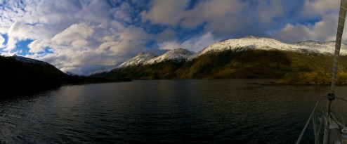
    I'm doing all these updates quickly for a reason, rather than getting around to them at some point as I felt like it. Saturday I hung a panorama at the Boothbay Region Art Foundation right here in town. It's from two summers ago on Spectacle Island on the Sheepscot River.

    [largeimage description="Spectacle Island Sunrise"]Spectacle Island Sunrise[/largeimage]

    It's printed 1' by 6' on canvas over a wooden frame. I've priced it at 450. I also can print many of my other shots if there is interest.

    If anyone has any comments on the design of the site or interest in photography you can comment online or send me an email at [email protected].

    Remember you can click to make it larger!

    Why Do I Paddle?

    I've been asked more than a few times things like:

    Why do you go backcountry skiing?

    Aren't avalanches dangerous?

    Isn't whitewater dangerous?

    I heard from my buddy about another guy who on a rafting trip...

    And so on and so forth.

    I'm not the most eloquent writer, let alone for a question that really is this big, so I'm very glad that I found a piece written by Doug Ammons.

    Doug Ammons is considered one of of the foremost whitewater pioneers. He isn't heard from that often in this age of Demshitz and Fred Norquist hucking massive waterfalls and uploading hours of HD footage. While the feats that the new school of paddlers are pulling off are amazing in and of themselves they don't define what whitewater is about to me quite so much as what Doug writes. (Don't get me wrong, I love visiting huge waterfalls, but more in a visiting the land of the dragons sort of a way, rather than trying to own and control them).

    In Is kayaking only a sport? from Doug's site, he tries to dig down through the layers of bro-bra attitude that we know how to say to why most of us know but do not have the vocabulary to express properly.

    We learn to work with the power of the river, riding its flow and judging its consequences. It teaches awareness, respect, and mindfulness. The forces that surround us have no ill will and do not care about our existence, but we have to be aware of their every detail and mood. Kayaking rivers is the art of staying safe by merging with the force of nature. It is the art of styling down rapids with grace and smoothness – blending with energy that flows from the heart of the earth, transforming danger into safety and fun.

    Please go on a read the rest of the essay and get lost in the rest of his site. Doug has a very beautiful way of describing and inspiring whitewater paddling which may be why Outside Magazine considers him to be one of the top 10 adventurers of all time.

    And for those of you who are more visual and audio style of learners here's the trailer for WildWater where Doug has a monologue at the beginning.

    http://vimeo.com/11540206

    Fred Norquist does have a particularly excellent wall slide on Yule Creek at the end of the trailer.

    The photo at the top is David Speigel in the runout from the first Class V of Eleven Mile Canyon of the South Platte on a rare day where the water was running and homework and other essentials were able to be forgotten for an afternoon in April 2010.

    Week 6

    At some point Week 5 disappeared. Not that all the photos or my memory of that week are gone, but some how I counted strangely and one of the previous weeks is possibly two weeks long. More likely is that most of the previous weeks had a few too many days...

    And I've also been procrastinating at putting this page up as it was the only one that I didn't type while I was still down in Patagonia.

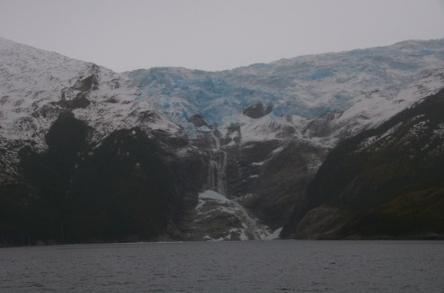
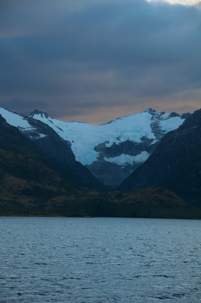
    After a couple of stormy days in Caleta Brecknock we scooted down towards Control Point Timbales and then up and into Seno Ventisquero.

    http://www.flickr.com/photos/fenris/5821953809/in/set-72157626672140507/lightbox/

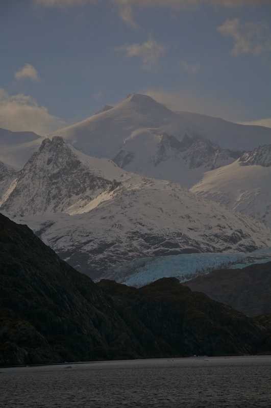
    Some nice light along the way

    http://www.flickr.com/photos/fenris/5821964603/in/set-72157626672140507/lightbox/

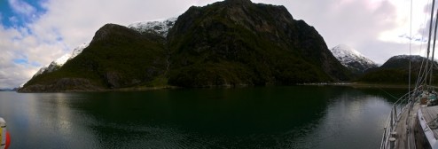
    Funny things happen when the white balance changes part way through a panorama due to a very sharp cloud wall.

    http://www.flickr.com/photos/fenris/5822528932/in/set-72157626672140507/lightbox/

    Surprised that there are clouds ahead yet?

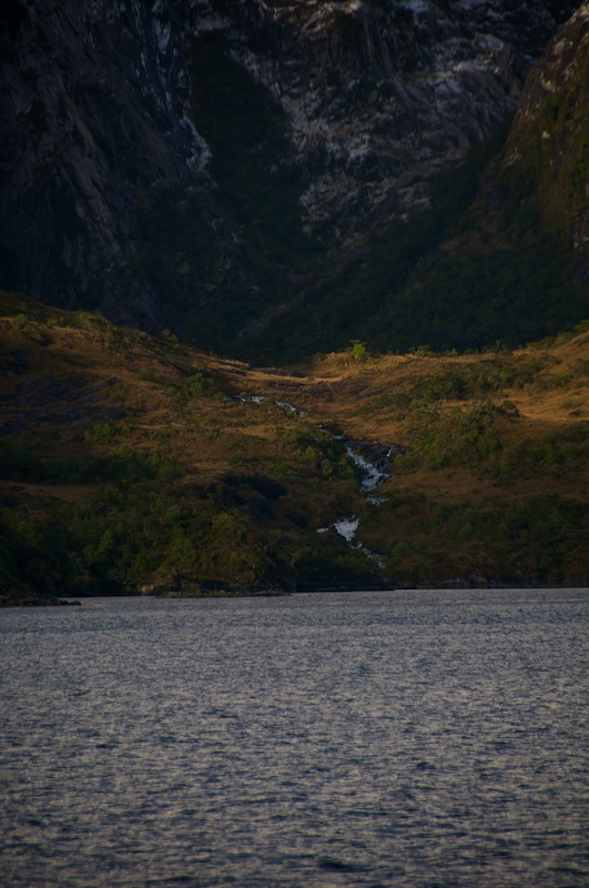
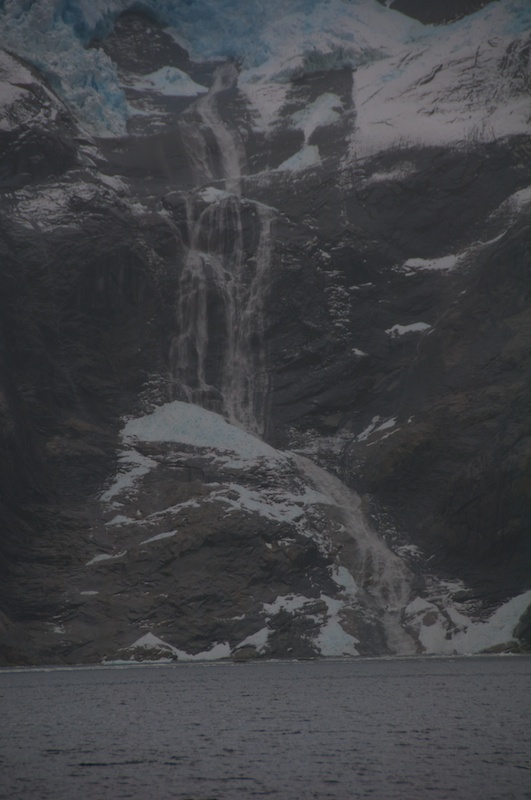
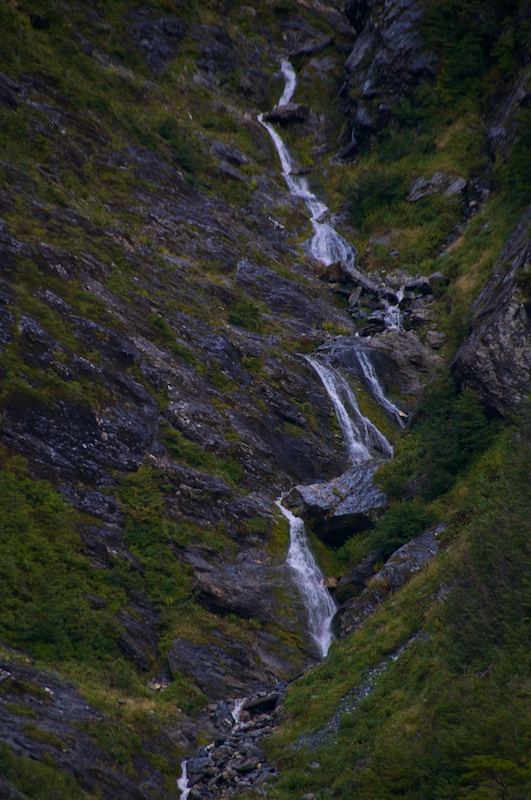
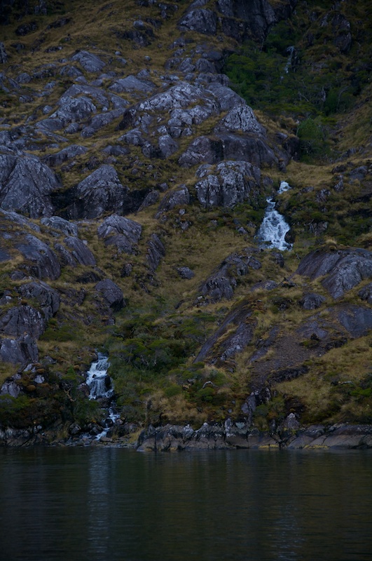
    A nice looking creek coming on down.

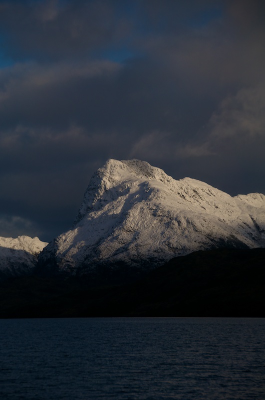
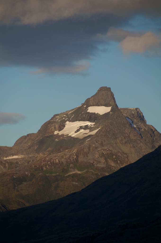
    And a nice looking mountain. A whole lot of bushwacking to get up there and back though.

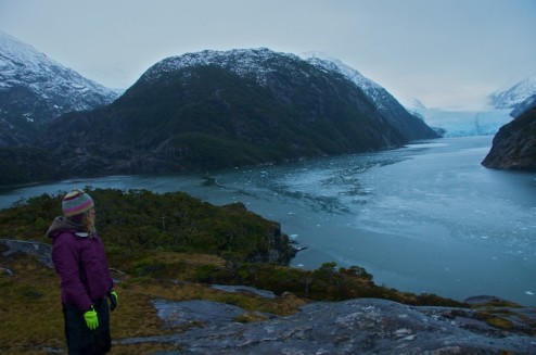
    After a night at Puerto Engaño which was another of those rare Patagonian anchorages where an anchor was enough we were able to head up Seno Ventisquero. There is a recessional moraine that is just barely underwater about half way up the fjord. I believe it's as far as the Armada has charted. Anyway there is a channel trending SW-NE about 100 meters or so off the point that is deeper, but most of the moraine is only about 2 meters deep.

    http://www.flickr.com/photos/fenris/5755677206/in/set-72157626672140507/lightbox/

    All the way up there is a nice corner that with an anchor and some lines you can tuck the boat into.

    Looking back down the fjord from where we came.

    http://www.flickr.com/photos/fenris/5755669984/in/set-72157626672140507/lightbox/

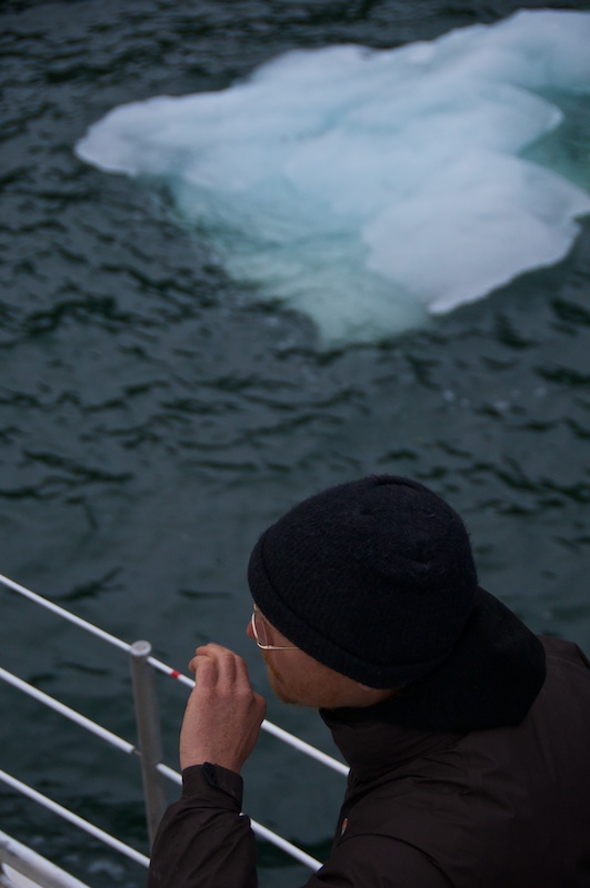
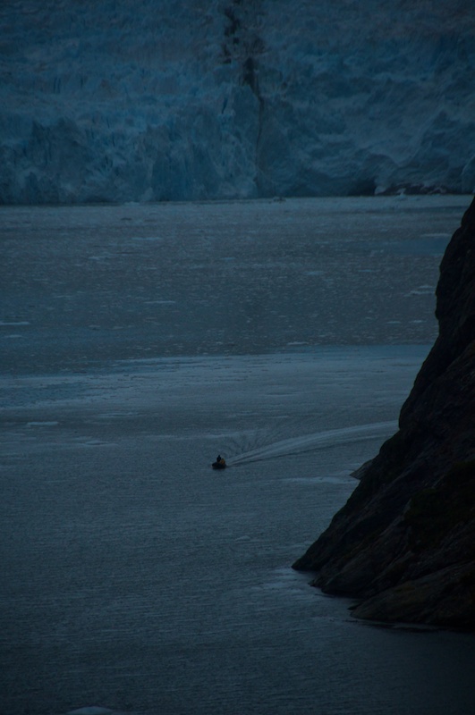
    More than a little bit of ice surrounding us.

    http://www.flickr.com/photos/fenris/5755671858/in/set-72157626672140507/lightbox/

    And some pretty big chunks within the flow.

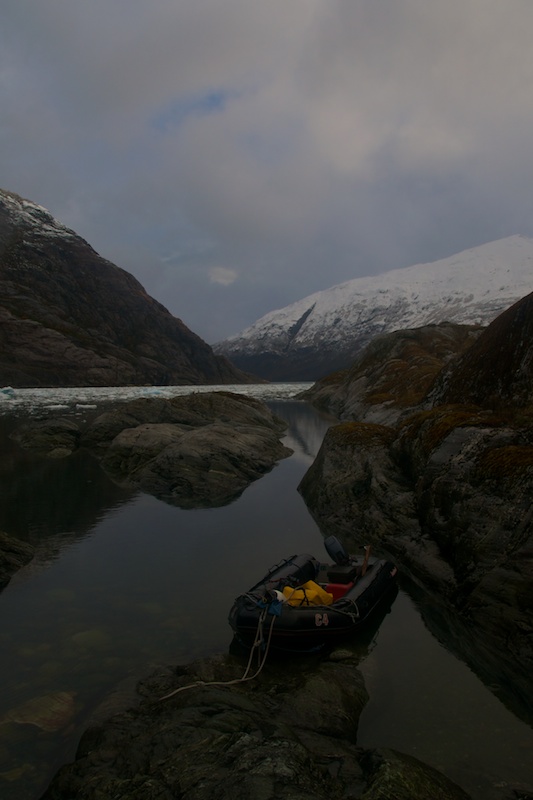
    Charlie and I took some temperature data and then scooted our way into a tiny little inlet that opens into a much larger bowl.

    http://www.flickr.com/photos/fenris/5755674114/in/set-72157626672140507/lightbox/

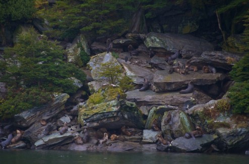
    Some seals enjoying the day.

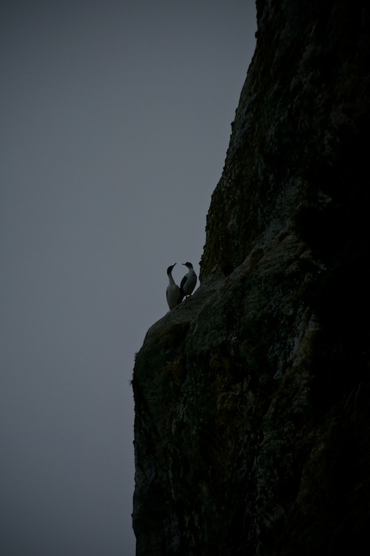
    The inlet has some rather steep cliffs where shags were hanging out. I didn't notice any nests though.

    http://www.flickr.com/photos/fenris/5755676162/in/set-72157626672140507/lightbox/

    The bowl had a beautiful demonstration of just how close fall and winter are to each other in Patagonia.

    http://www.flickr.com/photos/fenris/5755133937/in/set-72157626672140507/lightbox/

    Thankfully fall colors don't clash with ice and snow. Though the ice did get us up suddenly during the night when a couple of larger bits snagged on our lines.

    http://www.flickr.com/photos/fenris/5755679518/in/set-72157626672140507/lightbox/

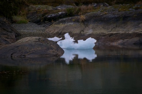
    A smaller chunk of ice that made our acquaintance.

    After our poking around in Seno Ventisquero we headed back to Bahia Pia. We found a lot of ice to poke around through on the way in. Eventually it cleared up some.

    http://www.flickr.com/photos/fenris/5755139125/in/set-72157626672140507/lightbox/

    Though it had managed to pack itself into one of our usual anchorages.

    One of the many distributaries from the Romanche glacier working its way down to the sea.

    We turned around and had to weave our way though more ice to find another anchorage. We were also expecting a strong blow, so we were worried about how well were going to be able to tie up.

    http://www.flickr.com/photos/fenris/5755140507/in/set-72157626672140507/lightbox/

    We ended up down that kinda backwards arm with quite a view.

    http://www.flickr.com/photos/fenris/5755140925/in/set-72157626672140507/lightbox/

    A bit closer.

    Looks like a bit too much ice fall for skiing.

    Charlie went off to work on the weather station, and then we were on our way back to Puerto Williams racing another blow.

    http://www.flickr.com/photos/fenris/5822534916/in/set-72157626672140507/lightbox/

    That's quite the bow wave you got there. I guess it's one way to wash out the hawsepipes.

    http://www.flickr.com/photos/fenris/5822535464/in/set-72157626672140507/lightbox/

    After a night in Puerto Villerino (so close but so far) we made the last couple of miles into Puerto Williams and got a pretty nice welcoming from the sky.

    http://www.flickr.com/photos/fenris/5822535954/in/set-72157626672140507/lightbox/

    The next day Doug and Jill tied up alongside us. They are known for writing the avalanche book Snow Sense, Snowstruck: In the Grip of Avalanches, and Rowing to Latitude. When they arrived in Puerto Williams there were hoping to find a fast internet connection so they could get some work done on a new edition. Unfortunately the internet was down for everyone (the power to the tower was shut off), but hopefully they have been able to get connected via something other than SSB by now!

    I had a visit with the Armada doctor about the ugliness that was my hand at the time which was already improving. Eric and Christine took off for Ushuaia before a long tour around the Eastern and Central Time Zones before ending up back in Maine via plane, train and automobile. Soon it was my turn to take off.

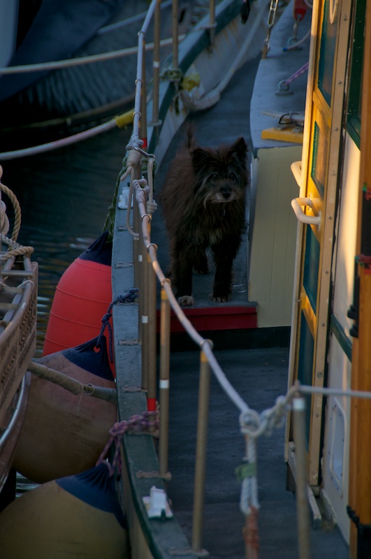
    Only made one furry buddy on this trip that I had to say goodbye to.

    Bye and thanks to everyone who helped me out in Patagonia.

    A special thanks to Charlie Porter for making my whole experience possible.

    http://www.flickr.com/photos/fenris/5822538424/in/set-72157626672140507/lightbox/

    One totally odd shout out to the KEXP Live Performances Podcast. It's kinda like getting a whole bunch of random concerts from Archive.org without the whole problem of figuring out what you want to listen to which was awesome so that I didn't end up listening to the same concert a million times, and didn't end up with 47 Gigs of Greatful Dead if I just downloaded from Archive.org.

    Rapids & Falls & Big Water

    Oh, my.

    Since I've made it back to Maine I have managed to paddle parts of 5 different rivers, 3 of which I haven't paddled before.

    I've already thrown up some video from day 1 back of paddling the Cathance River.

    Day 2, Daniel, Rigg and I were planning on paddling the Rapid River around 3200 cfs which would have been rather high compared to reports that I've heard for a first run for all three of us. Let it Rain says 2300 cfs is high and Ryan has paddled it to 3800 when it apparently was one big flush and you had to paddle around behind an island before you could get back up to Smooth Ledge.

    Suffice to say if the Rapid was running that high on a non release day when it had only been running at 700 cfs the day before we could look around at other nearby rivers.

    Hence we landed on the Wild River with 4 and change on the gauge. As AW recommends 4.5 feet which sounds about reasonable, it was a little scrapey on the way down, but that doesn't really dismay me. I would recommend trying to catch it at some sort of higher level if you want to play, as none of the playspots have come in yet.

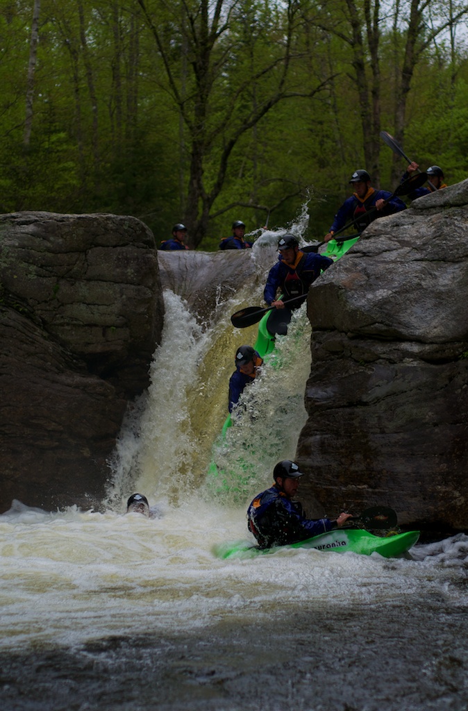
    As it was too late to think about heading to the Rapid and we wanted to do something more than paddle the Errol waves, I guided us in to Frenchmans Hole. I ran the drop twice while Daniel ran it 4 times as he wanted some pretty pictures to show everyone. Turns out that he got really lucky and this was pretty much my camera's last hurrah before getting sent into the Nikon Depot yesterday.

    I did shoot some video from both sides of the drop, but I haven't gotten around to editing it yet.

    4 days later Daniel and I had a nice mellow surf session at Sheepscot reversing falls where I attempted to get some more photos and video but ended up getting skunked.

    The following day found Daniel and I getting up really early to drive to Bethel. My 9am call to the Maine H2Oline told us the level was around 2200 cfs. High but well within the range of normalcy.

    We decided to drive directly to the takeout, throw both boats on one can and shuttle up to the put-in. That plan lasted until about mile 7 when we found the road from East B-Hill Road to the takeout washed out. Both of our vehicles had about 9 inches of clearance, but we didn't want to risk getting out the shovels to fix a 1.5 foot deep trench only to find another. Thankfully the road to the put-in and the road between the put-in and takeout were relatively clear, though we would have had to head all the way back out to East B-Hill Road if we didn't have a copy of the Delorme Maine Atlas and Gazetteer. Around noon we were hiking in, and started the mile and a half long paddle along Pond in the River and paddled through Lower Dam into the whitewater.

    35 minutes later we were searching for the takeout on Lake Umbagog

    In between Lower Dam and Lake Umbagog is about 3 miles of whitewater. Usually when your on a river you average 1-2 miles per hour, we averaged 6. Smooth Ledge which was only surf-able if you really were looking for a workout as the water was moving to fast for playboats to stay on the slope of the wave, even if you were over in the pile on river left. Eddys were giant vague areas behind islands or in between trees. We found a couple of big holes, waves and even some small haystacks. Haystacks are what seems to be a vertically exploding column of water. They're not really holes or waves, just a foam pile that keeps going up with some force somewhere inside of it. The ones we found felt pretty big in our playboats, but are nowhere as big as you might find out somewhere like Idaho on the North Fork of the Payette during high water.

    So we didn't quite believe that it was running at 2200 cfs. We took out in a cove where there were was some flagging flying along shore, and what looked like a trail. Turns out it might just have been some portage route back up river or something, because we ended up bushwhacking and dragging our boats up until we found a road. Eventually we hiked far enough along the road that we saw recent tire tracks, so we dropped our gear and continued wandering and searching for Daniel's truck. After a bit we found Daniel's truck, were able to pick the boats up, and run shuttle back to the put-in.

    My car was low on gas so we decided to roll down the road to Errol, NH to fill up and check in with Saco Bound/Northern Waters to see what the level on the Magalloway River was as we could run shuttle very quickly there as it was roadside. That's where we got the news:

    [audio http://alexkerney.com/wp-content/uploads/2011/06/Rapid-River-flow-Fone.mp3] - Recorded a day later

    What did I write earlier:

    Let it Rain says 2300 cfs is high and Ryan has paddled it to 3800 when it apparently was one big flush...

    8000 cfs in a river that is normally considered high at 2300 cfs is a lot of water. When you have a lot of water it tends to go many places that you don't want it to go. Thankfully all that water going down the Rapid didn't end up making any massive holes.

    We next checked the levels for the Magalloway River, which was apparently running at 4800 cfs. Now normally Let It Rain considers 1200 cfs to be high, but we had already run the Rapid at 4x Let It Rain's recommendations, so we went and at least took a look.

    Part way up the road one of the old guys around the Umbagog Wildlife Refuge told us that the generator was down that fed the Magalloway and they were dumping water as fast as possible as they were only allowed to do fixes with minimal water backed up behind Aziscohos Dam.

    The Magalloway decided to make some pretty large holes. Nothing that would hold you until rapture doomsday (my normal 'Long Time' phrases just had to get thrown out the window) Ontario Mounties allow you to drive faster than 90 kph (50 mph) but still not places that you wanted to be. Despite what seems like relatively clean lines through the holes it wasn't a place that I wanted to be putting on in a playboat at 6 pm.

    Because Daniel and I were already rather close to Canada (the reason I have a Passport Card in my wallet until the TSA decides to freak out that Maine isn't abiding by the RealID act for their drivers licenses), we drove through Rangley on our way back down to Route 2. I didn't tell Daniel how close we were to Quebec before I told him where we were going there.

    Somewhere along Mooselookmeguntic Lake we came across a couple of moose and what seemed like a cloud. It wasn't regular fog that caused us to knock 20 mph off the speed limit, but it definitely felt like it was raining somewhere below us and we were just wrapped up in a cloud.

    We took a quick look at the Swift River as we drove past. We didn't stop and scout as I've been skunked trying to paddle the Swift in the past, and I think it runs even less than the Wild does. Anyways in Mexico Daniel headed back for Boothbay while I headed to party with some of the Gould faculty at the Mill Hill Inn where my old ski patrol instructor/musical director (I was on tech crew) was playing.

    After Doug had played three sets and midnight decided to grace the clock, Woody (the owner of the Mill Hill Inn and a buddy) reminded us there were people upstairs. That left me faced with the decision of should I head back to Boothbay, should I head down to another friend's birthday party in Portland, or should I crash at Frenchmans Hole for the night. I ended up meandering my way down to Boothbay, and after increasing my critter count to two moose, two deer, and a skunk, and a nap at the Wiscassett Community Center I made it home around 3:30 only to have to get ready for a friend and his girlfriend to show up that day.

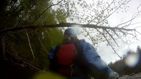
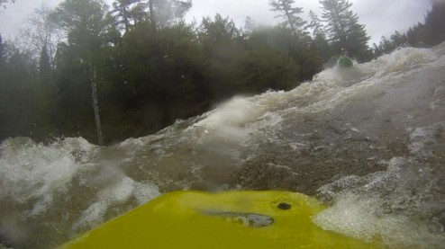
    Sorry  kids for putting so many words on a page that deserved more pictures or video. I do have video from the Wild, Rapid and Frenchmans, but I haven't done any editing other than to extract a couple of stills from the GoPro.

    GoPro geeks - any suggestions for getting a mount to stick reliably to kayak plastic? I have a mount just behind my cockpit rim that seems to stay put, but when I tried to put one on the stern it decided that wasn't the place to be, I'm thinking the best option might be to tear off the 3m pad and just use some Epoxy glue (looking at thisTothat)

    Week 4

    A few more days in Puerto Stanley

    We hung on six lines in Puerto Stanley until the 20th while we made a couple more trips into the Bahia Parry glaciers. Slowly the fjord was icing up, and it was getting harder and harder to access the glaciers. It turns out that I was not able to go back down to look at the possible jökulhlaup debris due to the icing, so I spent most of the time on Ocean Tramp.

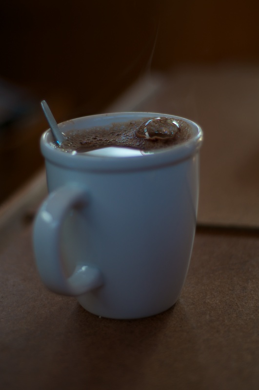
    World’s largest and longest lasting hot chocolate bubble, or practice with the nifty 50...

    http://www.flickr.com/photos/fenris/5754670953/in/set-72157626671141207/lightbox/

    I flew the flag.

    And we got underway

    As we were getting iced out of Bahia Parry we started to get worried that we might end up iced out of the fjords on the South side, and because Charlie has enough data on the other fjords on the North side we started heading all the way around the Brecknock Penninsula again.

    http://www.flickr.com/photos/fenris/5754676257/in/set-72157626671141207/lightbox/

    As we left Puerto Stanley I got another shot of the New Zealand glacier slowly working it’s way down the other arm of the fjord than I got to visit.

    http://www.flickr.com/photos/fenris/5754677355/in/set-72157626671141207/lightbox/

    A little hard to see in this shot, but as an example of much of the time we have motored around, we are about 100 meters off the cliff face and here it’s 167 meters deep below us.

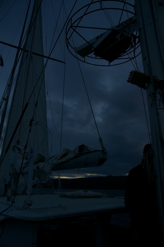
    We pulled into Bahia Ainsworth for the evening and found an area where we could anchor, making the concept of getting underway early easier to consider. Even still it was dusk as we poked our way into Puerto King under radar(s).

    Just a little light remaining, and Puerto King is still a mile or so away.

    Back around the Brecknock Peninsula

    This time around the Brecknock was even calmer than our previous time around. Calm enough that I actually sat and read scientific papers most of the way, because I didn’t even have to hop up every other second to catch stuff. We left Puerto King early in the morning as we were just on the hook there too, and we experienced what might be the most rainbow filled rounding of the Brecknock Peninsula ever.

    http://www.flickr.com/photos/fenris/5754678705/in/set-72157626671141207/lightbox/

    Sunrise looking back toward Mount Sarimento.

    http://www.flickr.com/photos/fenris/5755224406/in/set-72157626671141207/lightbox/

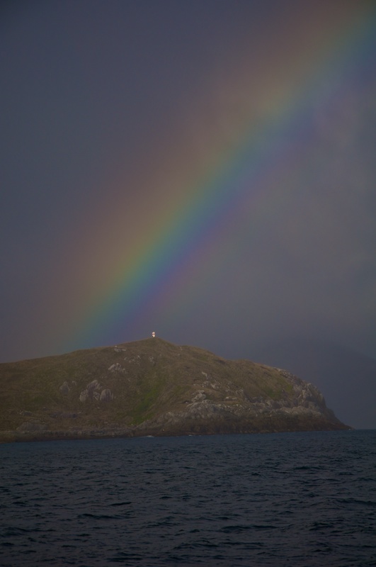
    The Pacific and a rainbow ahead.

    Apparently they already built a tower at the end of the rainbow.

    We took Canal Ocasión so that we didn’t head that far out despite how small the seas were. We turned into Caleta Brecknock for a couple nights to weather some strong winds coming in ,and so that Charlie could move a weather station so that he could reach it easier.

    http://www.flickr.com/photos/fenris/5755230846/in/set-72157626671141207/lightbox/

    Another rainbow as we went past Isla Redonda in Canal Ocasion.

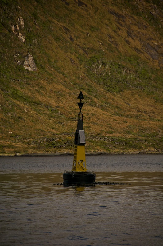
    Canal Ocasion has one of the few buoys that I have seen on this trip.

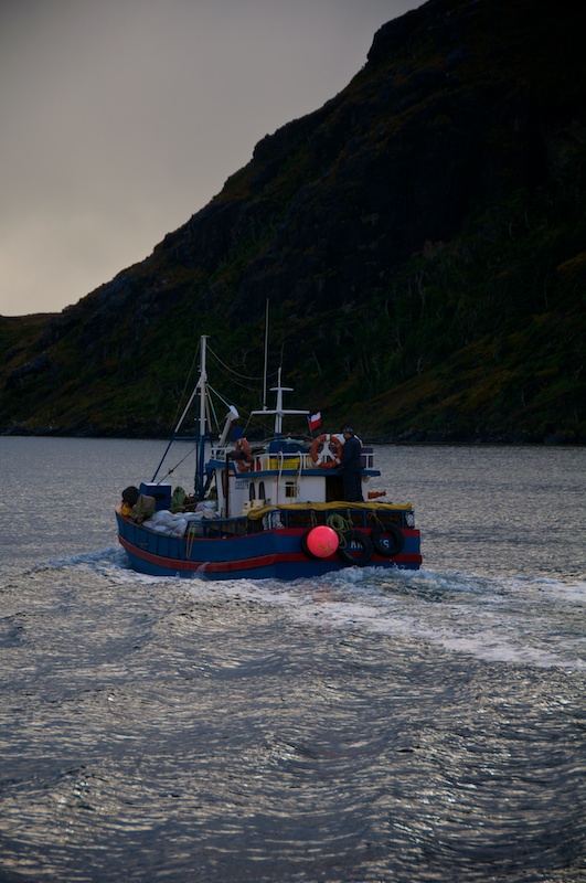
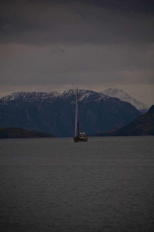
    And one of the few other boats out on the water. The fjords were strangely quiet traffic wise compared to what I expected.

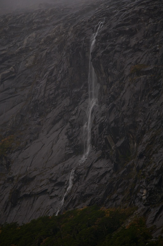
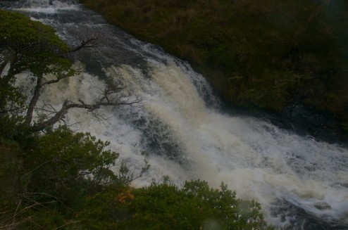
    Caleta Brecknock has quite a few waterfalls that show up when it rains heavily.

    http://www.flickr.com/photos/fenris/5754690693/in/set-72157626671141207/lightbox/

    Like the classic Antarctic shot of the boat through an iceberg, the lake above the boat might just be the classic Patagonia shot.

    Note: I'm testing out some new things on my site to hopefully make it faster and easier to update.
    I'm using my Flickr account to serve landscape images and panoramas (as I have unlimited storage space there) but due to some problems with how Flickr remotely serves images portrait images are still hosted here. That means if you click on a landscape image you will be taken to Flickr where you can view it larger but if you click on a portrait image you will stay on my site.
    The other thing I'm testing is CloudFlare free CDN.
    Please let me know if anything isn't working.
    Notes for geeks: The problem with Flickr is that it seems to only serve up medium and smaller sizes via oEmbed. As usual for deciding on photo sizes they scale an image to fit in a box. While the width of that box is just about right for my layout with landscape imagery, once you scale it enough to fit the height of a portrait image in the box the width becomes too small for the layout.
    CloudFlare works in place of your normal set of nameservers. when a request comes in from North la-la land or where-ever it first goes to CloudFlare's nearest datacenter. That datacenter then will request the page from my site from the nearest datacenter to my site and uses a high speed link between their datacenters. Along the way the datacenters figure out which images and other static elements they can serve up and request the rest. It also takes care of some 'unwanted business' that tends to show up and make keeping a website up difficult.

    Week 3

    Waking up early

    We decided to get an early start out of Caleta Emelita and set our alarms for 6 am (Charlie Time, which may or may not be the same as Chilean Time) because we could at least start to drop lines in the dark. Pretty soon we were underway and watching the sun rise over Canal O’Brien before we headed out into Bahia Desolada. I went back to bed expecting to be up and skippering through the night.

    After waking up a few times to catch stuff that was banging about below, I finally got up for good around three just in time to find out that we were going to head into Caleta Brecknock and tie up for the night. For the first time the Bruce anchor didn’t set the first time that we dropped it, and with the uncommon wind direction (lightly from the East) shore lines wouldn’t work great to hold us off on their own. The second time we sent the Bruce down it held, and three shore lines later we went below for another amazing meal from Christine.
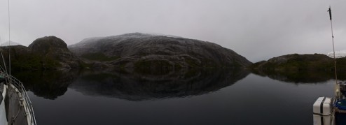
    Caleta Brecknock early in the morning.

    We also got moving early on the eleventh, because we were possibly going to have another long day to get to Puerto Hope before dark, so we left Caleta Brecknock in the gloom.
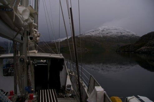
    A very calm morning for the Patagonian Fjords.
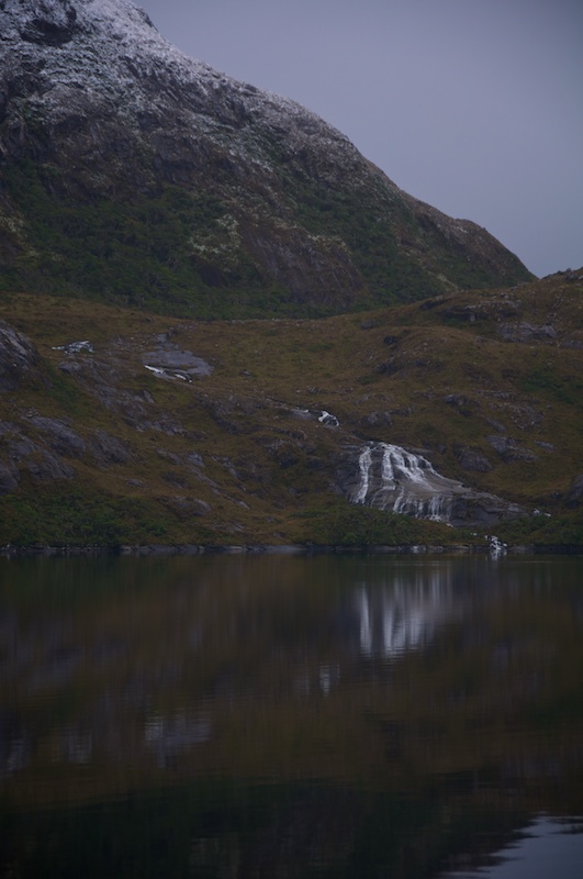
    I wonder what that would look like with more water.

    I spent most of the passage around the Brecknock Peninsula below catching whatever decided to take flight despite our preparation of the boat. It probably was actually worse going around the Brecknock without much wind, as we didn’t have anything to stabilize the boat, so we just got bashed back and forth by the swells rolling in.

    New Zealand somewhere past the blue sky.
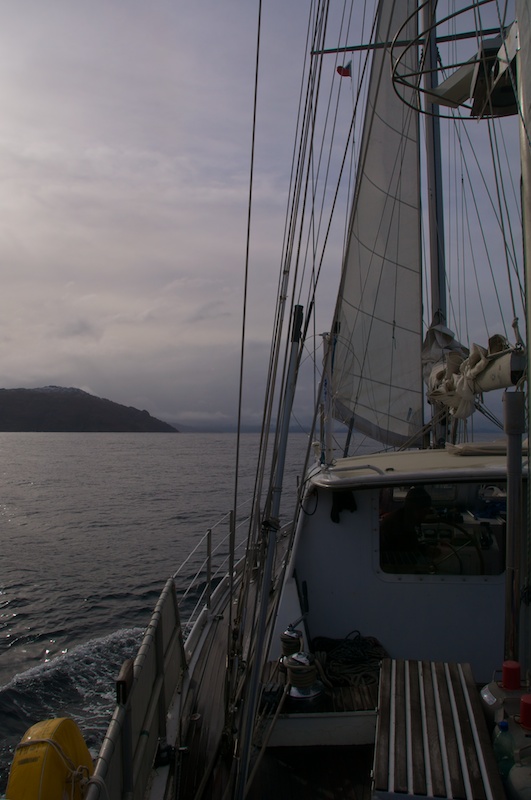
    Ghosting our way into Canal Cockburn.
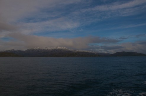
    The blue sky lasted a while longer highlighting the snow covered peaks along the Brecknock Peninsula.
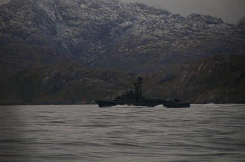
    An Armada patrol boat went quite quickly past us. Apparently when vessels get in trouble one of these patrol boats is sent to tow them back, unfortunately they won’t slow down which is often not to helpful for the boat being towed....

    As we passed behind Isla King we encountered a feeding frenzy. Apparently a bait ball of tiny yummy critters is formed by currents, which attracted many larger critters to dinner.
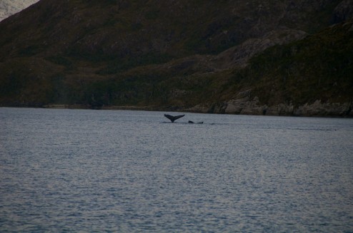
    A couple of whales (probably humpbacks according to Christine).
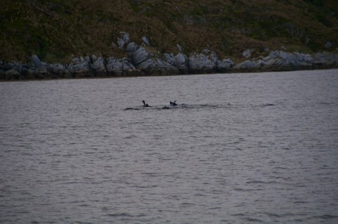
    Happy Seals
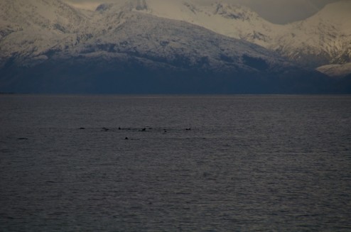
    Hungry Seals
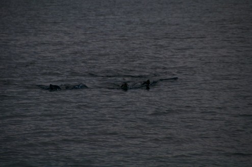
    Inquisitive Seals
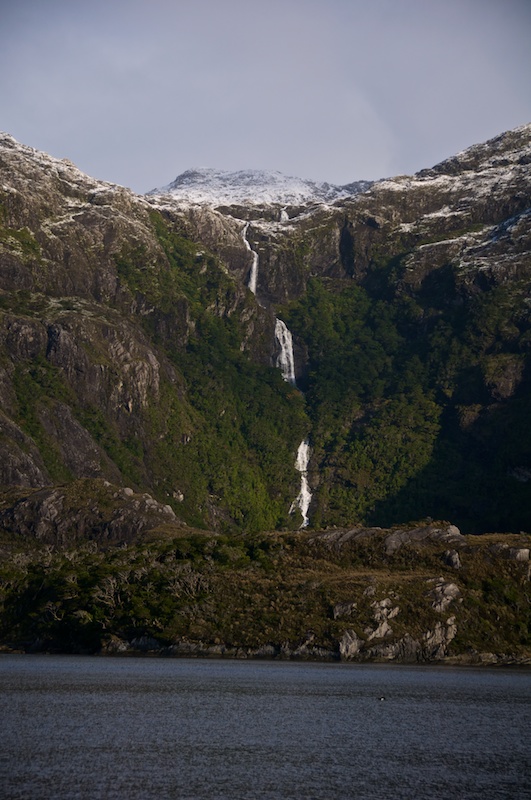
    Some big waterfalls that Charlie was interested in as a possible ice climbing route.
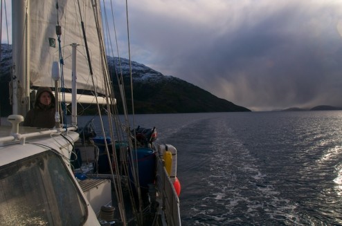
    Keeping watch for more marine mammals.

    Soon we saw Mount Sarimento in the distance before we pulled into Puerto King for the night. Puerto King is big enough, yet shallow enough that we were able to depend on the Bruce anchor which went back to holding without problems.

    Another scheme

    Since the grand plan to shoot all the way to Bahia Parry as fast as possible hadn’t happened and we had very little wind on the twelfth, Charlie decided to try to spend some time exploring the moraines and trees ahead of the Contramaestre glacier coming off of Mount Sarmiento. Apparently when Fitzroy had a painting made of the glacier coming all the way down to the water  which has recently been debated by the scientific community. Since we had the weather window and it was on the way we decided to get up early again to make it happen.
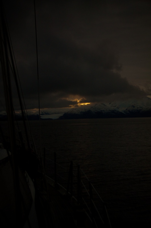
    Sunrise over Sarimento.
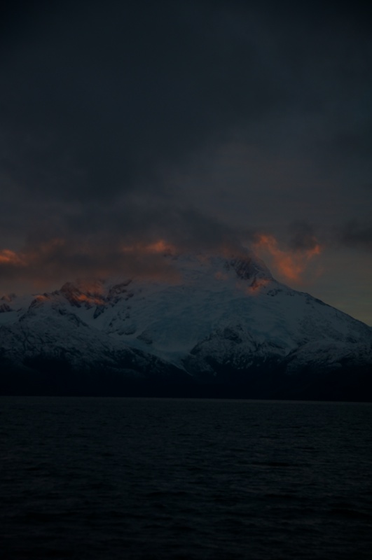
    It’s always nice to see a sunrise once in a while.
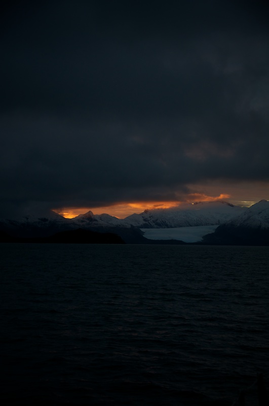
    Mount Sarimento looking like it’s on fire.
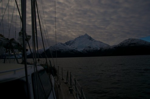
    The clouds eventually lifted a bit letting us see the peak of Sarimento.
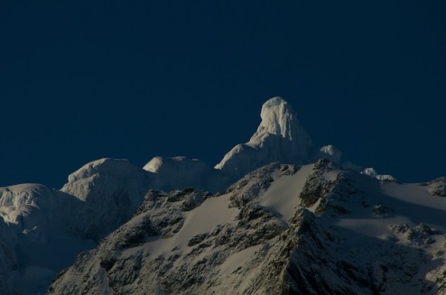
    Once we got even closer blue sky even rolled in making it easy to make out the ice mushroom surrounding the peak.
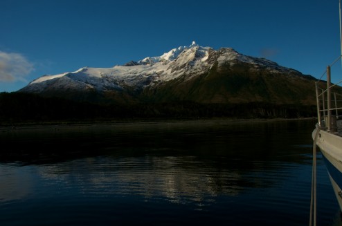
    I don’t get the feeling that the mountain is often seen with this much blue sky.

    After dropping the hook in about 40 meters of water, 100 meters of chain stood in between Ocean Tramp and the shore about a 150 meters away, so Charlie and I hopped in the zodiac for a quick mission to the beach. Charlie took everything he needed to take a short dendro profile between a the output lake of the glacier and the beech. I took everything I needed to stay warm while hanging out near the zodiac just incase the wind changed and tried to push Ocean Tramp onto the beach.

    And what a nice looking beach it was, especially with the sun that we had for a change.
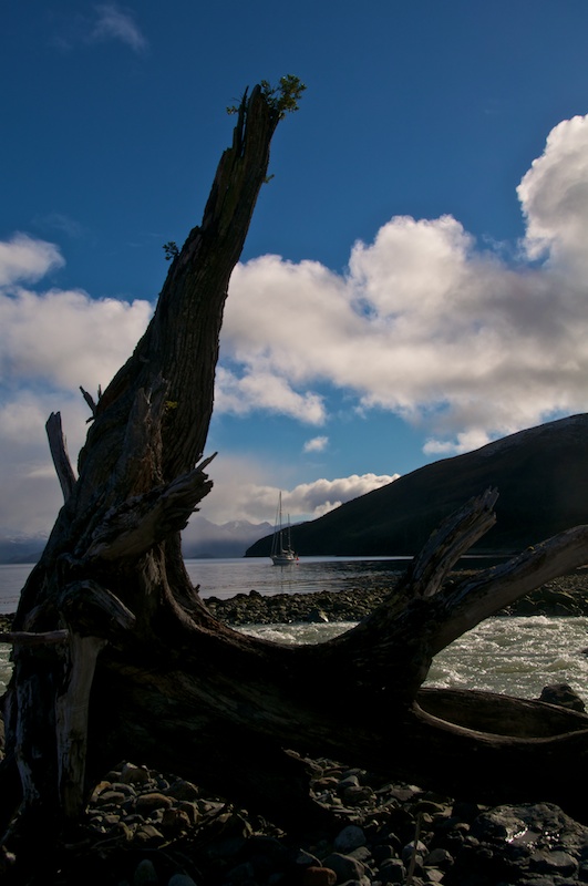
    Some trees that must have been carried down in floods were rather cool shapes.
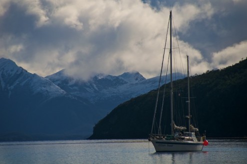
    A much wider anchorage than normal for Ocean Tramp. On the stern you can see the weather station that Charlie just put up the night before.
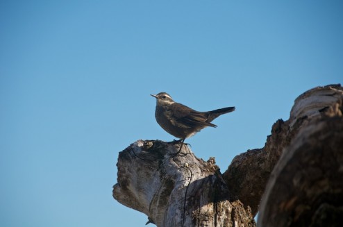
    A couple of these birds hung around while I was parked on the beach.
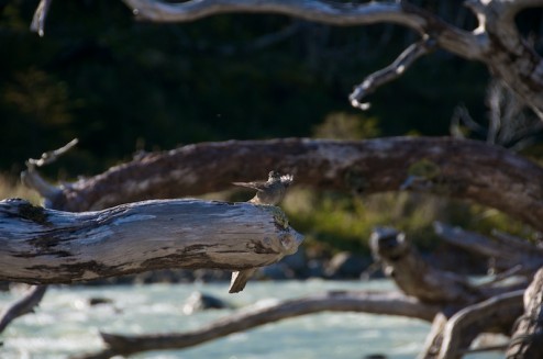
    Another one of the birds. They are pretty fearless, actually landing on my leg at one point.
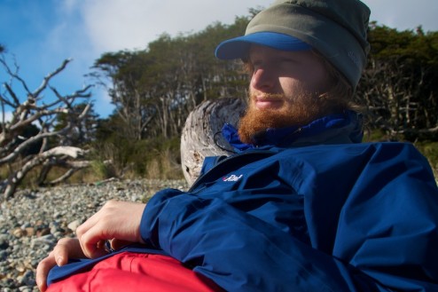
    I greatly enjoyed the change of weather and getting to sit in the sun for a change, so here’s an approximately halfway though the trip self-portrait.

    Another river that I think that could be a possible paddle with higher water. It would probably be pretty cold though, as even now it was carrying small blocks of ice down to the ocean.

    Onwards to Parry...

    From the base of Sarimento we motored up Canal Magdelena to Puerto Hope for the evening.

    Moonrise over Mount Hurt and the other mountains along Seno Keats reaching down towards Seno Agostini.

    Puerto Hope is another one of those rare Patagonian Anchorages which is wide and shallow enough to anchor with just an anchor, no shore lines involved.

    On the 13th we beat an early escape from Puerto Hope and got to see another sunrise.
    Just a little weaving on our way out of Puerto Hope in the dark.
    Heading towards the light.
    Doctor Who’s crack in time and space...or just an reflection?
    Blue sky again!
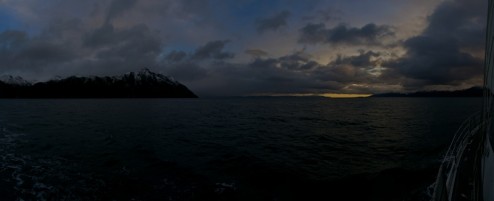
    Getting lighter.

    We headed into Canal Gabriel which is a shortcut that allows us to avoid heading all the way up towards Punta Arenas. We managed to hit it just right, but apparently it gets nice and rough at the wrong point in the time.
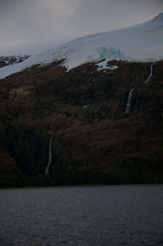
    Instead we got to admire waterfalls coming down from the closest ice cap to Punta Arenas.

    The full icecap.

    Soon we found ourselves motorsailing out into Seno Almirantazgo and past Bahia Brooks.
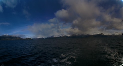
    Putting some mountains behind us.
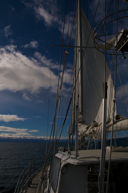
    Motorsailing with the genny up!
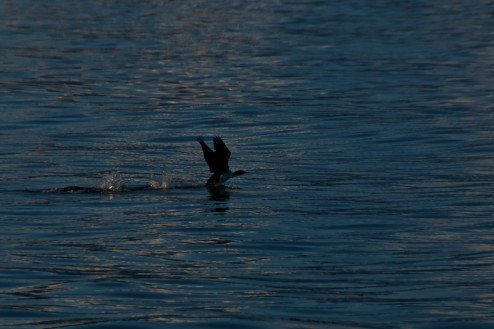
    Powering up for takeoff.
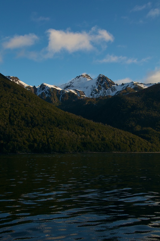
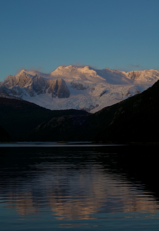
    Some nicely lit up mountains on the way down.

    The mountains on Terra del Fuego stretch on and on.

    Charlie decided to pull into Bahia Ainsworth for the night so we could explore Bahia Parry with a reasonable amount of daylight remaining. It also would allow Charlie to download data from one of his weather stations.
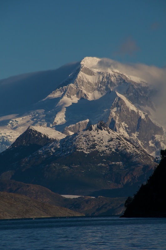
    Mount Darwin rising up.
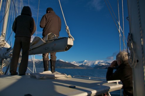
    The benefits oh having crew member number five, the autopilot.

    Looking out from the Bahia Ainsworth anchorage.

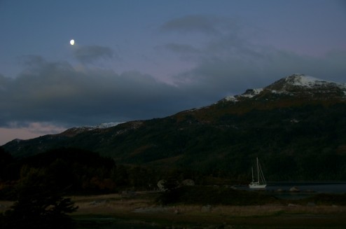
    We went for a quick hike during the sunset over to Charlie’s weather station and up a hill. Thankfully the filling moon was there to accompany us.
    Ocean Tamp among the erratics.
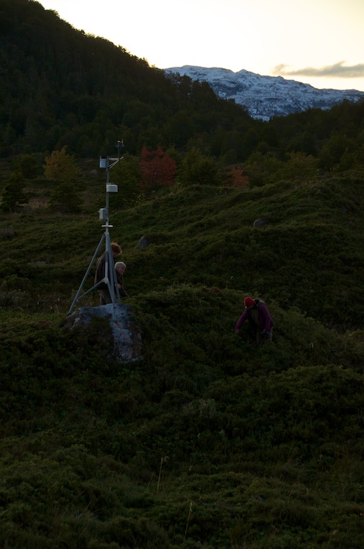
    Attacking some chowera berries next to the weather station.

    In the morning we woke up to find that the wind didn’t agree with our anchor and shoreline setup, but thankfully it was another nice day, so we just reset further out so that Charlie could service his weather station before we headed further SouthEast (usually saying SouthEast now I think of paddling around North Carolina now...).
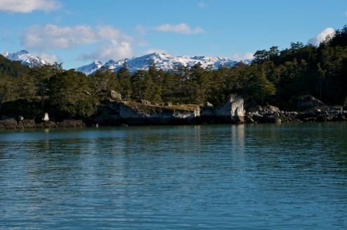
    The erratics and small evergreens made Bahia Ainsworth feel a bit like home, but the erratics are possibly quite a bit younger than the ones found around the coast of Maine.

    Bahia Ainsworth
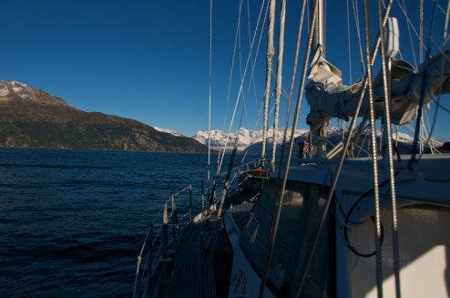
    Turning into Bahia Perry before heading into Puerto Stanley.
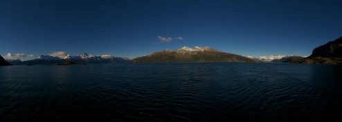
    Just outside Puerto Stanley...
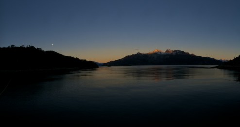
    ...and inside.

    On the fifteenth Charlie took off alone in the big zodiac for a scouting run to see the ice conditions down the fjord. On the sixteenth we got prepped (while it rained) for heading down and setting up a weather station with two time lapse cameras. We also packed supplies for dendrocronology sampling , and some tape measures to look at a possible recent jökulhlaup (glacier outburst flood) that we think we can see from Landsat imagery between 2005 and 2008.

    Bahia Parry

    On the seventeenth Charlie and I loaded up and with an alpine start of two (pm ....) we took off in the zodiac down the fjord. We initially made really good time because the water was super smooth.
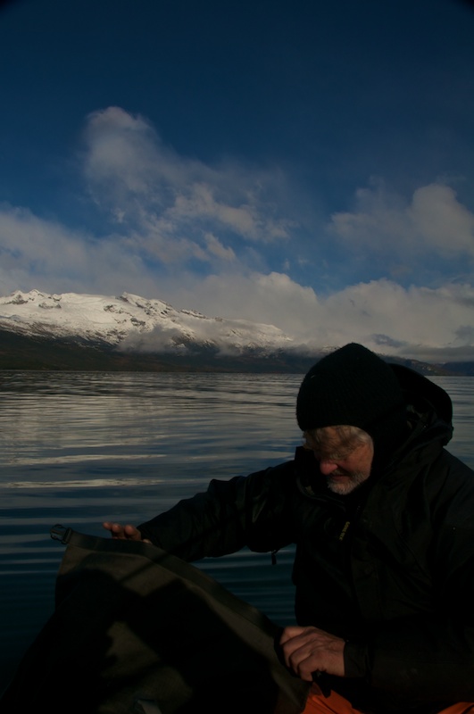
    Bundling up
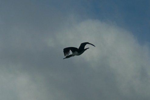
    The other inhabitants of the fjord.
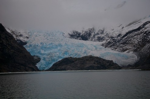
    Another glacier that we zipped past on the way down.

    Soon we had to start slowing down as there was ice to weave through that was relatively hard to see in the midday sun.
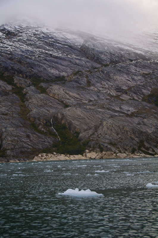
    Slowly the ice got thicker.
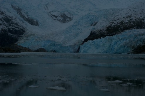
    Pretty soon we made it down to the bay where a couple different outlets of Parry glacier were spilling into the bay.
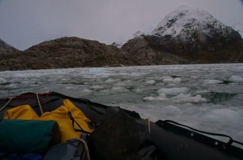
    Ice between us and our objective.

    We ran into a problem that there was quite a bit of brash ice between us and our objective, a small point where we could set up a weather station with two time lapse cameras, one camera pointing at scientifically important Darwin glacier and another pointing at the more interesting to watch Parry glacier. Being a little hard headed we tried to bust our way in anyways. Relatively quickly we found out that it wasn’t going to happen, so we turned around and pushed our way out.

    When we had just about pushed our way into a lead of open water we decided that it probably would be a good spot to try to get a temperature profile of the water column as we wouldn’t move around too much in the ice. Thankfully I had rigged up the GoPro camera recording video on the stern, so I’ll just grab a couple pics from that to tell the tale.
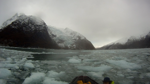
    I’m thinking ‘you sure this is the best spot?’
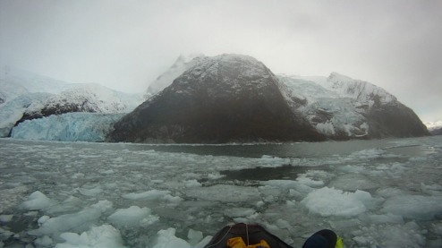
    Starting to take some samples.
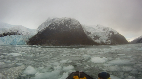
    ‘Hmm....’
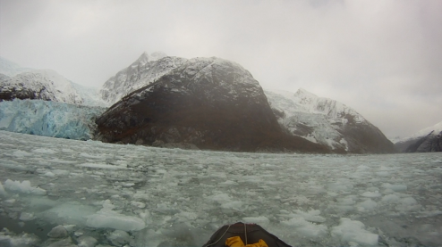
    Where did the open water go?

    Have I told you lately that I can’t stand to be in the bow of a canoe?
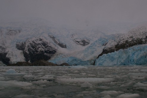
    The ice between us and Parry glacier now.

    So after that debacle we retreated to plan two, get some dendro samples at trim-line where the Darwin glacier was 60 or so years ago. Charlie ran up the hill while I babysat the zodiac making sure that we weren’t going to get iced in (again).

    I also got a little time to tinker with my camera to figure out what was wrong, otherwise I would have had a bunch more pictures from before our encounter with the ice. I got it working again after a slightly involved trial and error process (switching battery, lens, and SD card eventually worked, and after a bit I was able to move back to my big lens, but I defiantly had a faulty SD card).
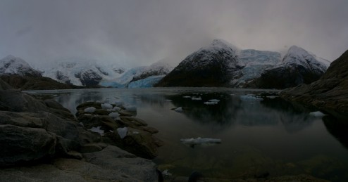
    Compare the outlets of Parry glacier on one side of me...
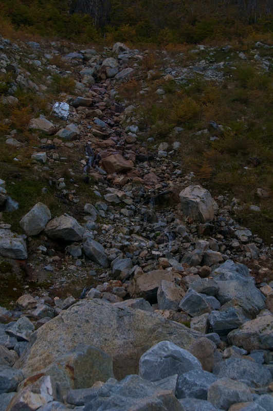
    ... with the bushes and trees (that Charlie was interested in) if I turned around.
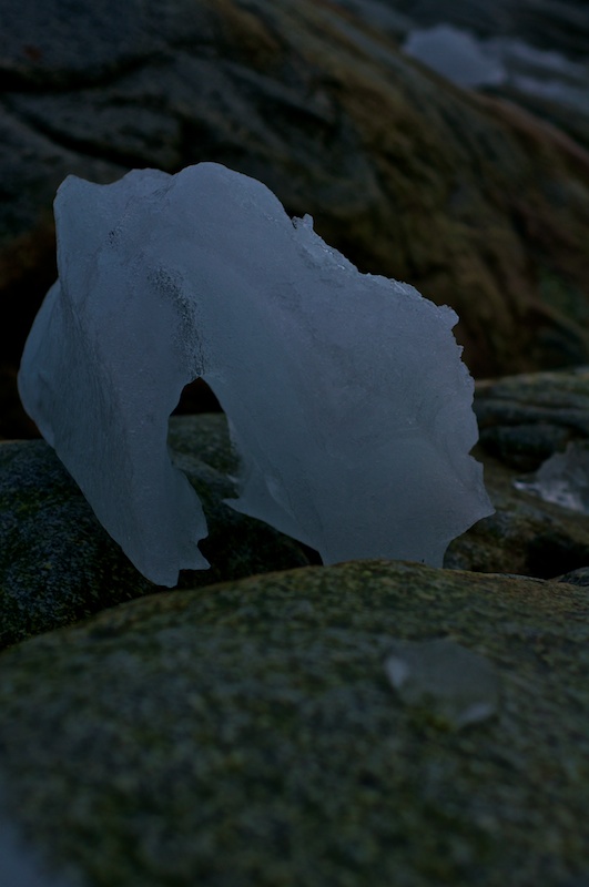
    I should have grabbed a chunk to make ice cream with.
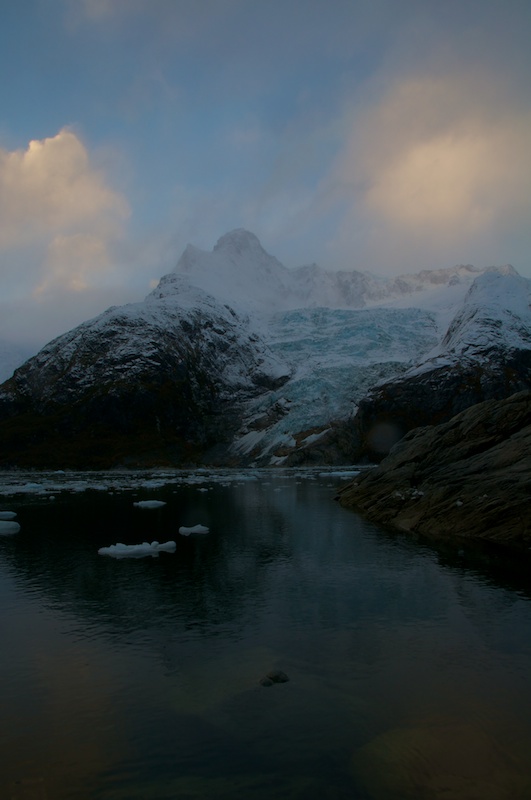
    Just before we headed out the peak came out of the clouds.
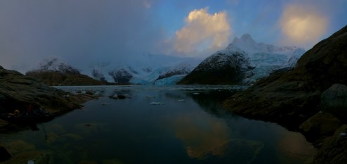
    The outlets over on the right were incredibly busy calving, there was constant noise of ice crashing down which is absolutely amazing.

    With a few dendro samples in had we took off so that we could navigate our way though any ice that was still floating further out in the fjord with at least some light. As soon as the sunset though a brilliant yellow full moon rose which provided just enough light for us to pick our way back through a few islands and some kelp to our anchorage in Puerto Stanley.

    Some video from the Cathance

    I'm still working on editing and getting post up from Patagonia, but there are some distractions...

    ...like day 1 back in Maine Daniel, Rigg and I decided to run the Cathance. I've only been thinking of running Magic Carpet Ride for several months, but I decided against it seeing the condition that it's in and the fact I was in a playboat.

    Rigg and I both had GoPros running for part of the river, and I shot Daniel and Rigg running Magic Carpet Ride with my D90. This is only from the D90 as I haven't even gotten to look at the GoPro footage yet.

    Week 2

    Back up to GPS

    Charlie and I hiked back alongside Fouque glacier to our GPS basestation, and I started the system back up, so that Charlie could try to hike a more complete profile. The rain and snow held off just long enough for us to get setup, Charlie to climb onto the ice, and for me to bundle up against the cold.

    Charlie investigating the ablation stake that he put up the previous day.

    Pretty soon though the rain came back, and at times it decided that  it was snow, but mainly rain right around freezing. It also brought some high winds which came from almost every direction, making it especially fun to check the power usage of the GPS unit!

    Onwards to Seno Garibaldi

    On the third we left Estero Fouque for Seno Garibaldi to get a look at a glacier that is advancing, but Isla Gordon lay between us and the entrance to Garibaldi. Canal Barros Merino does cut through and shorten the trip around, but it was currently closed by the Armada, so we spent a brief night at Caleta Olla before heading around and up the North East arm of the Beagle Channel.

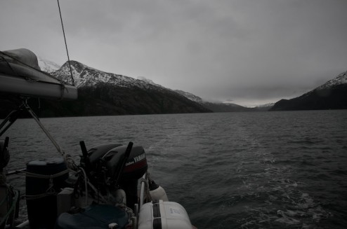
    Motoring along under overcast skies.

    Albatross are really interesting to watch.  They fly really low over the water when they first take off until they can find a thermal where they just start gliding.

    Along the way we got another look at Romanche glacier spilling over the cliff.

    It looks a little bit colder looking, kinda like a bit more painful version of the Monarch Mountain Boatercross if anyone was nuts enough to try it.

    Soon we found ourselves several miles up the fjord. After dodging a few chunks of ice and being distracted by a fur seal colony tucked into the cliffs we tucked in behind an island to anchor largely out of the path of ice. While Charlie and Eric motored up to the calving face to check out a few locations for putting up cameras, and possible routes onto the ice, Christine and I hiked up the island.

    The glacier proved to be just on the other side.

    It was quite a view from on top of the island.

    Charlie and Eric coming back from their scouting mission.

    The island is incredibly sculpted due to being completely overrun by the ice at some point. It’s covered with holes left by rocks forced and spun around underneath the glacier. The terrain is also incredibly fluted and polished making for some tricky hiking.

    On the fifth the rain held off all morning, and what might just be considered the sun peaked out for a while so we got some better views of the scenery surrounding us before it became soupy again.

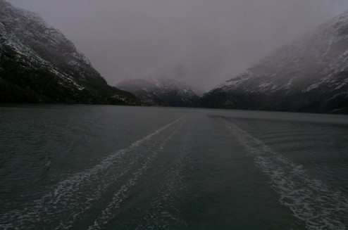
    Looking down the fjord towards the Beagle Channel from the stern.

    The view from the port side.

    A nice little series of waterfalls cascading down towards our anchorage. Unfortunately it doesn’t look like they will float a kayak that well.

    Another denizen of our anchorage.

    Pelagic Australis also came by to give her current guests a view of the glacier, but they didn’t stay for too long, other than visiting the seals.

    On the sixth, the rain came back, but Charlie and Eric went off to collect water temperature data. Christine and I decided to try to hike up to the waterfalls next to our anchorage but slippery conditions sent us searching for seals. We found a couple swimming around, and we could hear the colonies further down the fjord living it up.

    The dingy dock of the day.

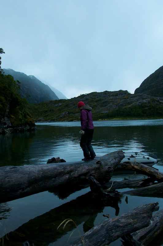
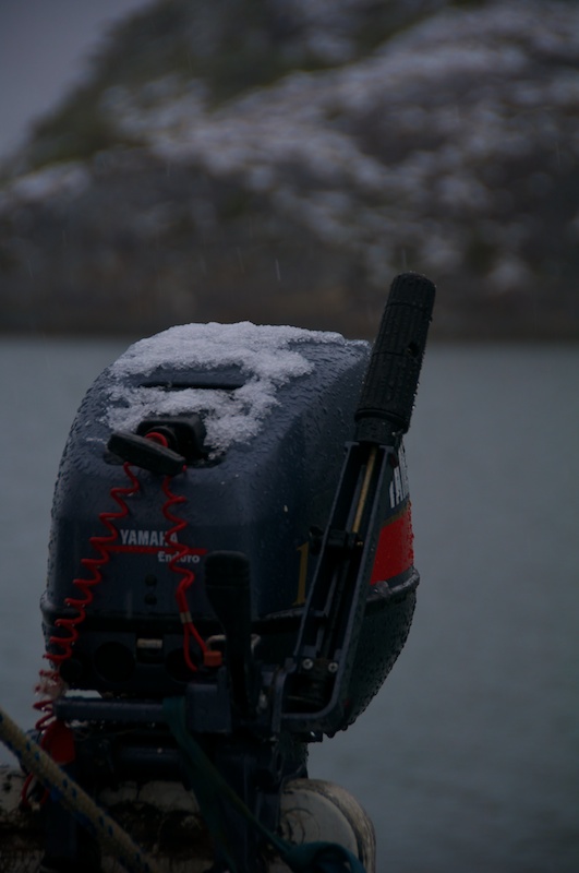
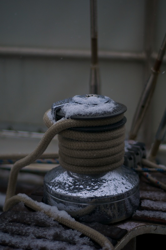
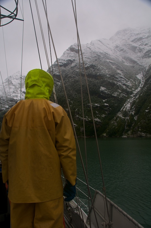
    Overnight it decided to snow all the way down to sea level for a change. I took a couple of pics before we cleaned the decks off.

    One of four motors that we have for the zodiacs. We rarely go anywhere without two motors in the zodiac in case one breaks down.

    Why we clean the decks off. Otherwise some of the snow melts and then the slush refreezes making the decks very slick.

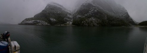
    Low clouds look better when there is also snow.

    A slightly different look to the waterfalls that Christine and I tried to explore. We made it up to that lower big drop, but the traverse to get past it was a little sketchy in sailing boots.

    We towed the zodiac down fjord this time because we made it a mission to visit the fur seal colony along the way, though I stayed on the boat because we just left her drifting in the middle of the sound.

    A cold day to get underway.

    Leaving Garibaldi glacier behind.

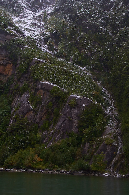
    The snow highlighted terrain features and rejuvenated waterfalls as it melted.

    Apparently fur seals are relatively good climbers, they were all over a rock slide up to probably about a hundred feet above sea level.

    We eventually yanked the zodiac back on board before we headed to Caleta Emelita on Isla O’Brien a couple of miles further West in the Beagle Channel.

    Caleta Emelita and the decision

    We arrived in a tiny little cove where we eventually strung out 7 shorelines plus the anchor to hold us in place against the West wind blowing in.

    While we were there Charlie had to make a decision. Should we use the weather window that we had coming up to head up Ventisquero by Zodiac for possibly a day or two, or should we round the Brecknock Penninsula and head all the way around to Bahia Parry?  Ventisquero is interesting because it apparently has seemingly completely fallen apart and it would be good to have nice weather to head in there with the long Zodiac ride and a possible overnight. The problem is that the Armada might not like us taking just the Zodiac up there and Armada Control Point Timbales was right by the entrance to the fjord. On the other hand getting around the Brecknock Penninsula and heading up Canal Cockburn can be a relatively rough experience as it’s completely exposed to swells and wind coming West across the Pacific, the next landmass really being New Zealand.

    After getting our first nice-ish day, we did some work preparing the boat for whatever was coming next (getting the winches working) and three of us hiked to the top of Isla O’Brien to see if radio contact into Ventisquero was possible (it’s not unless both parties go on lengthy hikes at the same time to contact each other). I also found some things that I love to see.

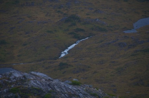
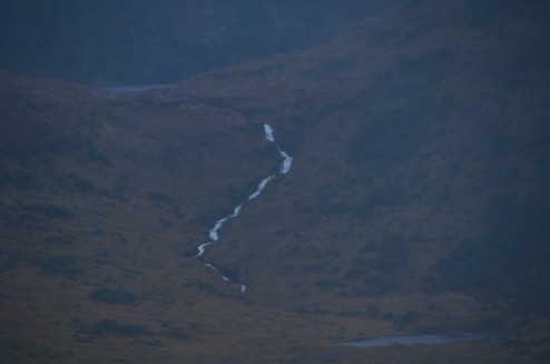
    Is that whitewater I see in the distance?

    Probably a little low volume to run in it’s entirety but you can never be sure from this distance.

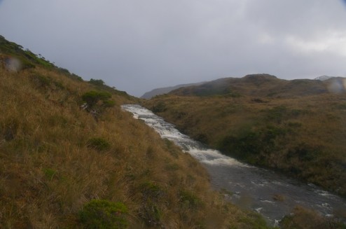
    We hiked down from the peak hoping to find some fur seal colonies from up close which we didn’t find, but we did find a closer river that I like the looks of.

    It might need a little bit more water through.

    After another look at the GRIB files (wind predictions for up to five days that we get via Iridium) Charlie hatched a plan. We were going to try to sail/motor all the way around the Brecknock Penninsula and all the way to Bahia Parry in one long session. The possibility of 48 hours of motion was before us.

    Unpacking and Cleaning

    I've made it to Mass, though without the good fortune of my sister being able to pick me up I would have other wise been stuck in New York for a couple of days now due to weather.

    Now I'm into the process of unpacking, cleaning and repacking my gear and realizing just how much of the gear that I brought down. For example that pile of socks above? I wore every one of those pairs in a 2 month period except one pair which Christine was borrowing.

    Week 1

    Leaving Puerto Williams

    On the morning of March 24th we were tied up to the Micalvi between a very interestingly designed aluminum boat named Imaqa and Pelagic Australis, but this time we slipped out early enough in the morning to give Pelagic Australis a good excuse for not having called the harbor pilot down.

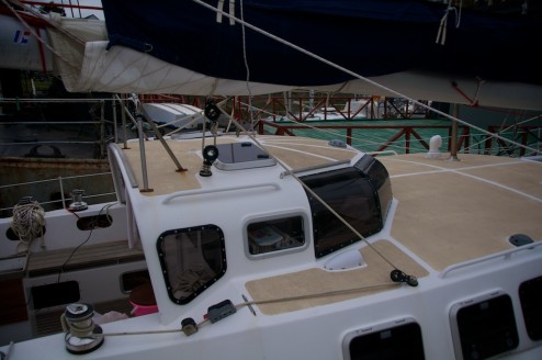
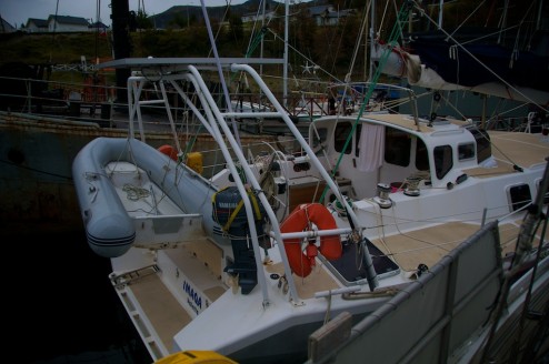
    Imaqa like many of the aluminum boats cruising the colder regions is a custom design, but is apparently a design that a couple were interested in at the same time, so they built three of them at once in what I believe is an old barn (this is what I understand from Google’s translation of one of her sister ships websites). I haven’t seen the inside, but from what I understand she has a small swinging centerboard which fits into a half cabin height trunk which is nice in the fact that it doesn’t divide the space quite like the full size swinging keels that Pelagic Australis and Seal have. Instead of having a swinging rudder though she has three low profile rudders, underneath a rather wide stern.

    Anyways, she’s a relatively unique boat, so here are a few pictures.

    And interestingly designed little pilot house with Lexan windows that they curved themselves, and just enough space for a nav/kid distraction station inside.

    A very wide stern, but those hatches on side access a storage space underneath. She’s about the length of Seal, so it would be interesting to see just how different the two boats ride.

    Eventually we got underway and headed back towards Caleta Olla, or the opposite direction of where we previously traveled when we were trying to escape a lack of information about an impending tidal wave.

    Caleta Olla

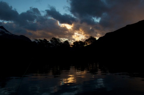
    Our first stop was Caleta Olla so that we could test all the systems, to be close enough to Puerto Williams that we could run back and get online if we needed too. There we found a couple of nice sunsets, with the rocks overhead lighting up golden, but only for just enough time for you to start getting your camera out if it wasn’t out already.

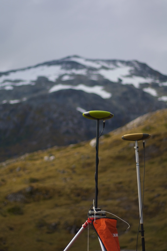
    In Caleta Olla I focused on getting the GPS systems up and running, which meant spending quite a bit of time sitting behind several different computers configuring, downloading data, and trying to generally get the software to understand what the GPSs were telling it.

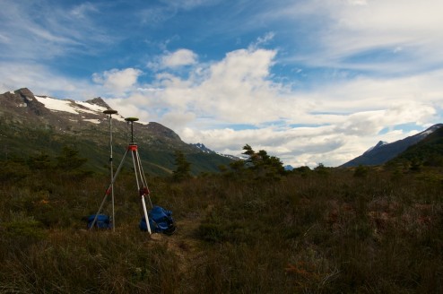
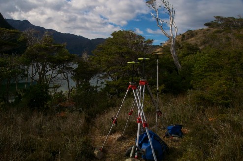
    At times it also looked like I was hosting some kind of replica UFO convention in the peat bog.

    And then they multiplied.

    And I wandered up to the top of the hill to get many very precise measurements of a single stick’s location in my series of experiments.

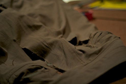
    Finally I managed to re-ventilate my pants, blowing out a couple of the patches that they had before this trip, but a bit of dental floss and some bad stitching later and they are back in working order.

    Onwards to Estero Fouque

    After I managed to get a relatively workable system going with the Javad GPS units, Charlie managed to get some data from his weather station, and Eric got to set up a rain gauge and temperature logger up at 600 meters and discover a possibly interesting glacier we headed back down to the Southern Arm of the Beagle Channel on the 28th. There we turned back into Estero Fouque of Isla Hoste where we hoped to put some of these systems to the test on a glacier that Charlie has spent some time studying before.

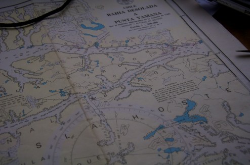
    Caleta Olla is located right at the Eastern most point of Isla Gordon which separates the North and South arms of the Beagle Channel while Estero Fouque is located right next to the star diving deep into the interior of Isla Hoste.

    Some ice that we saw along the way once the sun tucked itself behind a cloud.

    A peak that Charlie is interested in.

    Approaching the Ice

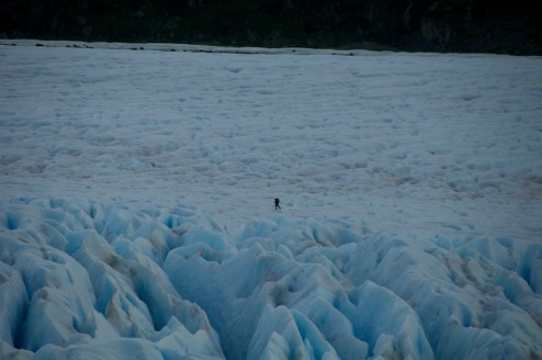
    On the 29th Charlie and I zipped around to the other side of the Fouque glacier from our anchorage and hiked up a very interesting trail. From the shore, and even from a couple yards from the cliff face the route isn’t very clear, but once you are halfway across the fjord it starts to be visible. From the hike it became clear that the first couple of trips must have been quite an adventure, but other boats have learned of Charlie’s trail and it has since been cleared out a bit.

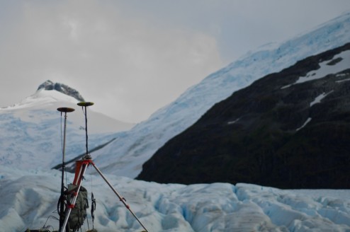
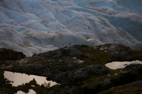
    Charlie had previously run a GPS profile up Fouque glacier with his ProMark3 GPS units, and had also left a tie-down point for attaching a base-station too, so we used that point to start our survey from.

    Somewhat similar view to Caleta Olla when looking in one direction.

    But very different while looking the other way.

    Charlie had initially planned on giving Eric, Christine and I an introduction to glacier travel at Fouque, but with how busted up the ice was he decided to trek up himself. I stayed around the base station for a while to make sure that it didn’t have any problems before I started to hike up the ridge for a lookout spot over the ice to hopefully get a few land based shots to feed our structure from motion (Photosynth/bundler) experiments. Few, of course, meant around 200 in this case, but I won’t share anywhere near that many.

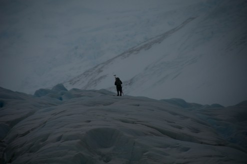
    Charlie trying to follow the profile that he had created before through the cravase field.

    Getting up the ridge, this shot was taken at the furthest zoom of my camera, and I wasn’t near the top yet.

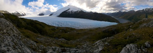
    It’s quite a view up the ice. Click on the photo to expand, and this is only a quarter of the size of the real panorama!

    Eventually we started to head down, initially thinking that it was close to sunset, but then realizing that we might have looked at a watch that was set to GMT rather than local time. Nicely though this gave us time to explore some of the features along the lateral margin of the ice, while looking for paint marks that shows the retreat of the ice.

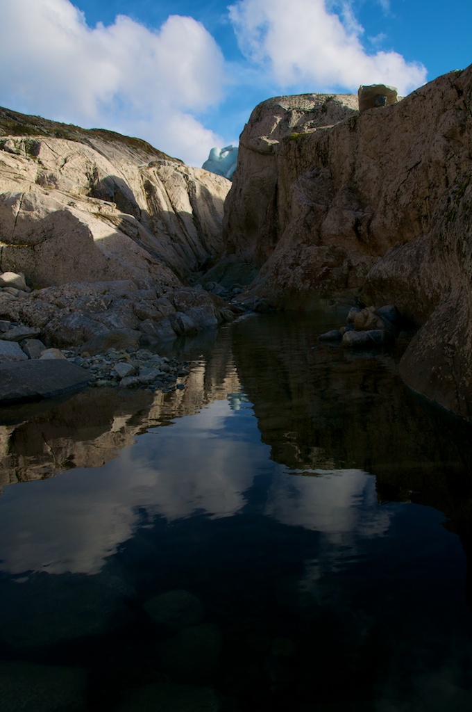
    A very cool little canyon, that apparently used to be full of water rushing out from under the glacier. If the access was easier it would probably be fun for a quick whitewater run at high water still.

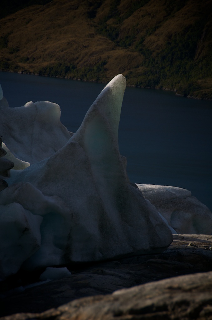
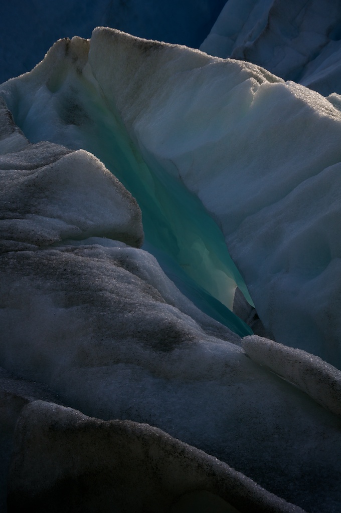
    The ice along the margins makes for some very nice shapes...

    ...and colors.

    Snow Days

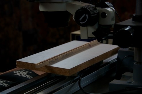
    The 30th brought wind, rain, and snow to the fjords which made it hard for us to complete our GPS profile, so we moved to working on an inside project, getting the dendrochronology system setup.

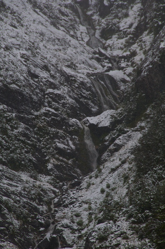
    Outside for the next couple of days the snow made the cliffs above us even more majestic looking while also making water appear where there was none before.

    A nice little creek that sprang into view pouring into the cove where we were anchored.

    Wind and rain we can largely work through, but snow on heavily crevassed ice is pretty dangerous to hike on, so we were shut down for several days.

    Geeky endnote

    Overwriting the .htaccess directory in Wordpress's directory will drive you and those subscribing crazy when you can't figure out why you can't post anything new.

    Sorry to anyone who's subscribed and just got a handful of different stuff dumped in their mailbox as I was trying to figure out the problem.