Magic Mtn Invasion
On March 2nd 2012, Magic Mountain may have experienced it's largest posse ever.
On March 2nd 2012, Magic Mountain may have experienced it's largest posse ever.
Since I'm apparently on the holiday schedule of posting, I'm throwing a new post up.
I've started to build my own theme from the ground up and relearning a lot of php/html/css along the way, and learning a whole bunch of new stuff. I didn't apply the theme here as it still is very much under construction, but if you want to take a peak look here: beta.AlexKerney.
I'm actually going to write this months post over there, to make you go and look (aren't I cruel).
Just two shots from the top of Camden Snowbowl. That might just be one of my new favorite tours to get all the way up there.
Also please vote for my video in the contest here!
And the clicable to make bigger versions!
[largeimage description="Penobscot Bay"]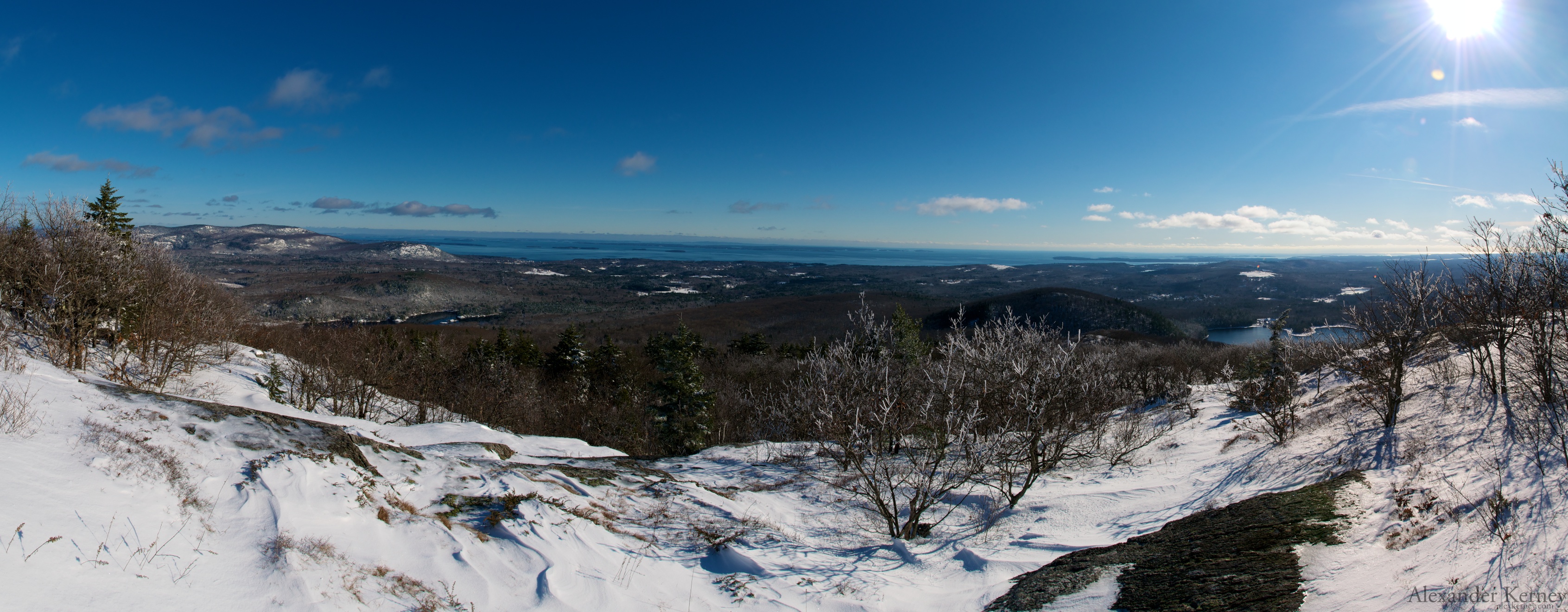 [/largeimage]
[largeimage description="Muscongus Bay and Camden Hills"] [/largeimage]
I've entered a video contest put on by Austin Kayak to win a kayak of choice from Liquidlogic Kayaks. Due to the fact that I'm likely to hurt myself in my playboat with some of the stuff that I'm currently paddling, and don't have the best track record of staying upright in borrowed boats I entered so hopefully I can win a creek boat like a Stomper.
Anyways check the video out here and vote for mine. It's called Problematic Love. You do have to 'like' Austin Kayak on Facebook to vote, and they do allow 3 votes (for different videos) per day until the 21st, so go back and vote each day.
I will throw the video up in its original high-definition glory after the contest is over.
It's election day anyways, and I guarantee that I spent less on this than any party has spent on the ballot questions!
Mother Nature won the Halloween costume contest this year with coating of white.
I got out for a lap at at Wachusett mountain and met up with some of the Mags from the TGR forum. Skiing in October even if it's in Mass is quite the treat.
[largeimage description="Shadows"]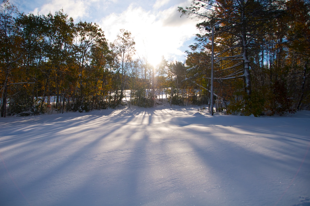 [/largeimage]
[largeimage description="Contemplating the Color"]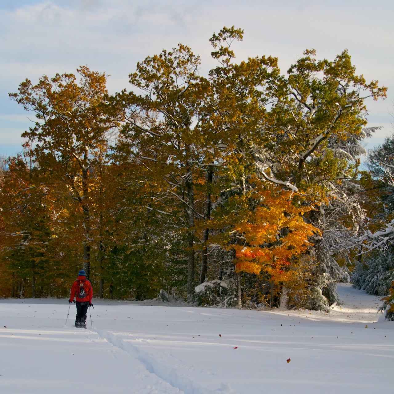 [/largeimage]
[largeimage description="Descending to the Reservoir"]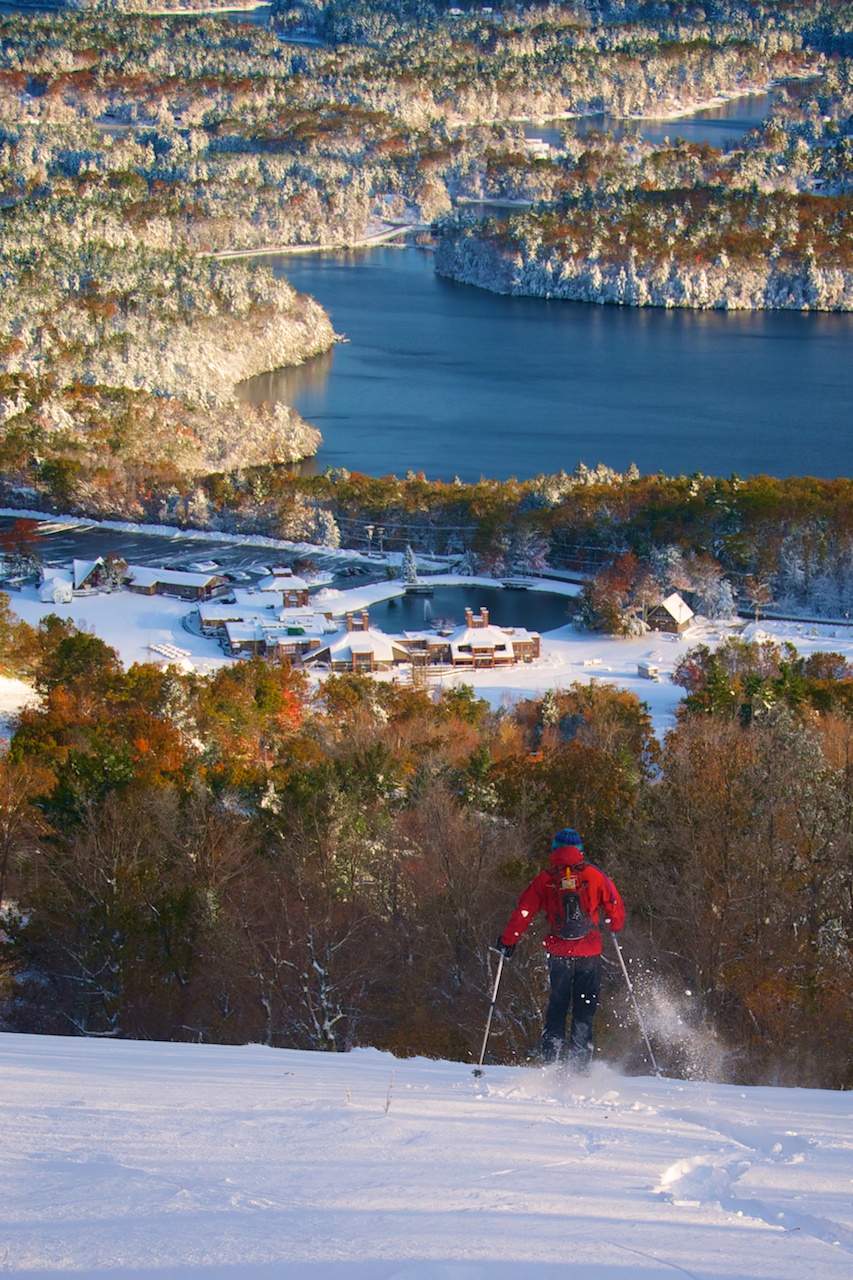 [/largeimage]
 from the Things Could be Worse series
Since my last post I have:
Of those I wouldn't suggest partying the night before a triathlon or paddling new stuff right after a hurricane. Though all were fun.
[largeimage description="Cuckolds Light getting battered by Waves"]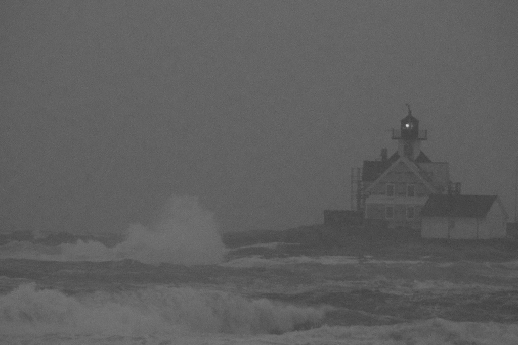 [/largeimage]
After watching Hurricane Irene roll through Boothbay Harbor which thankfully only knocked our power off for a short period, but sent some massive waves crashing into Cuckolds Lighthouse and a nice sunset over Wiscasset airport, I headed over to NH for some paddling with my buddy Doug.
[largeimage description="Sunset in Wiscasset"] [/largeimage]
In NH we found our way aroun the roadblocks and flood damage to paddle the South Branch of the Baker, Pond Brook, and the Hancook Branch into the East Branch of the Pemigewasset. Doug was able to bring me up a creek boat to paddle in, because it would have turned into a much longer and harder day if I had been in my CR125 as we paddled about 12 miles and about a quarter of a vertical mile of drop that was all new to me and pushing the limits of what I can paddle in an unfamiliar boat.
On the South Branch of the Baker we met up with Josh Early for his second lap of the creek as it was dropping quickly. During the summer of 2010 I helped Josh teach a beginner I whitewater course for Maine Kayak, so it was fun to paddle with him. I swam and then walked a bunch of stuff at the top (obviously it was the unfamiliar boat), I got back into the swing of things, and by the time we made it through a big looking slide at the takeout I had figured out the boat enough that the slide didn't feel a quarter of the size that it looked. After playing retrieval and saving Doug's car from getting smooshed by some construction equipment, Josh took off to finish packing being the third or so of the New England paddlers I know that was heading West to explore. Have fun out there.
Doug and I went back over to Pond Brook to set shuttle. We had originally looked at Pond Brook but Doug realized that the water would disappear over on the South Branch of the Baker first, so we changed our plans around. Anyways, I once again swam right at the top after trying to duck under a pair of crossing logs. Doug claims that the trees had dropped since his last time on the river when they had much more clearance to get under, but as I was yanked out of the boat by catching my chin on a ledge I was spending more time thinking "Grr, short people" between "Ouch!" Makes me think that a full face helmet might be somewhere in my future for more creeking. The rest of the run turned out very nice though Doug and I both walked a relatively large slide that slams you sideways into a rock and then you have to avoid or boof over a pretty good sized hole. The run finishes up with a sweet 8 foot boof which is pretty much right in someone's backyard.
Doug and I then boogied back over the Sawyer highway which is also the name of a river which is cool enough that I know a couple of boys have been named after it (though unfortunately the river is on the other side of Mount Huntington from the Pemi). After dropping a boat at the bottom of the East Pemigewasset at a pretty wrecked looking park behind the fire station we headed on up and turned onto the Kancamagus Highway. The highway was closed passed the campground so we took advantage of their trail to hike down to the river. Doug had bailed from this river during the storm when it grew by an order of magnitude while he was on it and had seen it start to carry trees down river, so we knew we were going to be getting into something different. Quickly my definition of large strainer had been reevaluated and I spent a good bit of time trying to hike around the silt and debris covered floodplains. At places it narrowed out and there was flood evidence 15 feet or more above the current water level. Lots of slides, slumps, and flagged trees all over the place. Frankly the river needs a crew with a couple of chainsaws and turfers and maybe a flamethrower.
The river calmed down as we approached the East Pemigewasset so I was able to spend most of my time in the boat except for scouting around the Loon Mountain Bridge rapid. That rapid would have to go right need the top of the 'I can't remember the rapid, but I can remember the surroundings' list, though for a couple of unique reasons. While scouting and hopping back into my boat there was a backhoe throwing boulders around next to me, and apparently just a couple of hours after passing under the bridge that the backhoe was apparently trying to take care of it partially collapsed! Apparently the rapid is way easier than it used to be and we ran it all the way on the the left. After that the most memorable part of the river was running the sneak route a Mill Dam rapid backwards as I missed the eddy at the top! Pretty soon we were back at the destroyed park and I boogied down the road back to Mass to help out around my dad's school. Unfortunately there are no photos as I had very little time to stop and shoot while we were covering so much milage. Hopefully I can recover a little footage from the GoPro but the lens was scratched (fixed now).
Some puttering around the school later my dad and I headed up Mount Monadnock.
[largeimage description="Dad and the moon on Mount Monadnock"]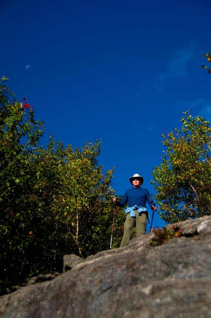 [/largeimage]
[largeimage description="Alumni Weekend Sunset at Gould"] [/largeimage]
At some point I headed back up to Boothbay and tried to enlist some cohorts to paddle the Rapid river which was releasing at a nice level, but no one wanted to go from there, so I headed to bethel because I heard that the Mannings were having a get together. It turned out to be Alumni weekend and I made for 5 five year alumni wandering around Bethel. Eventually I made it up to Frenchmans and crashed for the night. I made it back up to Bethel a couple weeks later to drop off some photos with my pottery teacher which are now hung at the Mill Hill Inn.
I climbed down into Frenchman's Hole that night and took a couple pics of the stars. I'm hoping to get back up there sometime there isn't a full moon or partly cloudy so I can get some shots of the Milky Way. As is you can see a few starts.
[largeimage description="Stars over Frenchman's Hole"]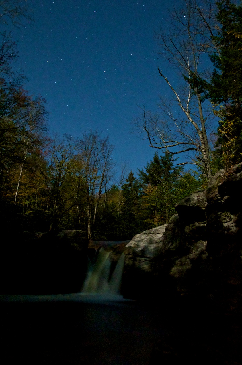 [/largeimage]
Continuing my artsy photography kick I bounced around Grafton Notch. I came around one corner to find the road blocked by a whole herd of forest rangers, so I climbed down into the creek nearby.
[largeimage description="Grafton Notch Creek"]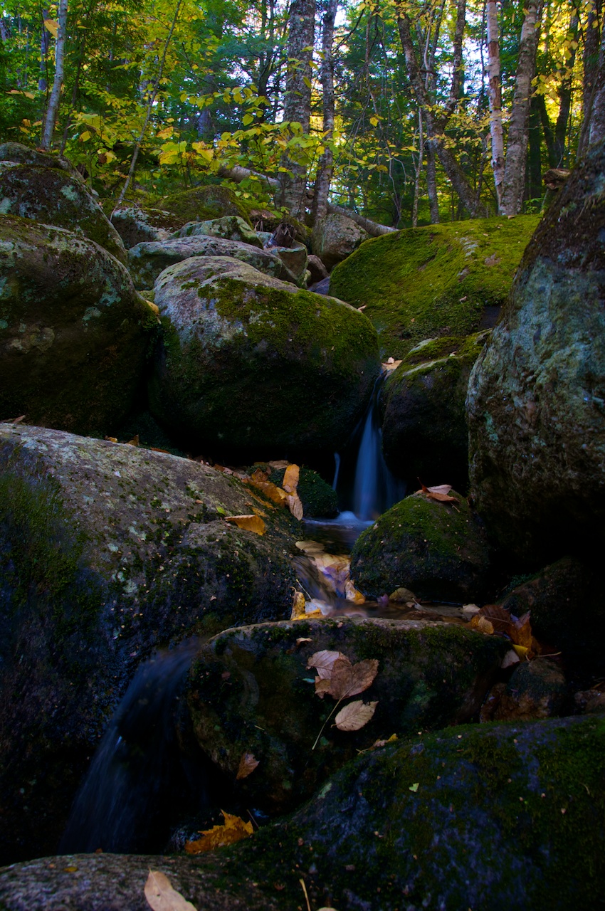 [/largeimage]
[largeimage description="Grafton Notch Creek"]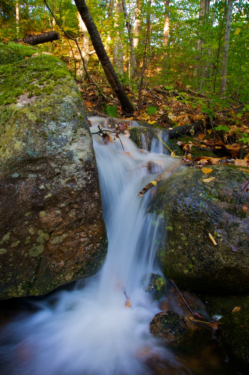 [/largeimage]
I continued a little further up the road and then dropped into Mother Walker Falls gorge. While I think with the right water you can paddle Screw Augur Falls just downstream (which is also easier to access), it's probably not possible to run Mother Walker Falls. One way or another, it's pretty down there.
[largeimage description="Mother Walker Falls"] [/largeimage]
At some point in there I paddled the Upper Ashulot river in NH. I decided that running Gilsum Gorge at the bottom of the section was a bad idea after setting shuttle. The rapid of note required either a cool looking slider boof thing or getting lucky with a really sticky looking hole. So I ended up walking down river to get the car. There is a cable hanging into the run in the obvious line somewhere just as you hit the town of Gilsum. It looks to be loose at the end and hanging down off of a telephone pole that was strung across the river and broke loose during the flooding.
This last weekend I headed up to Vermont for the annual TGR forums East Coast UllrFest and the White River Disas-Tour race. UllrFest is the pre-ski season party with a pig roast and movies projected on the big screen. There's also supposed to be a band, but they bailed on account of the conditions. I guess that's what happens when something is scheduled at the same time as MooseFest where it usually snows. After helping to set up and the preliminary rounds of home movies we watched The Art of Flight which is a new Red Bull snowboarding movie. While it's pretty much the result of Red Bull throwing money at Travis Rice, Brain Farm came out with something pretty amazing looking. They did go down and try to ride in Cordillera Darwin but I missed seeing that part as the generator (the same style as I was using in Patagonia) decided to run out of petrol during that segment (as I'm yelling at the screen to drop fuel at Calleta Olla).
I went to bed during the next movie as I had to wake up early for the White River Disas-Tour triathlon. I had failed at getting anyone on the forum nailed down for any legs of the race, so I brought my bike and a pair of my dads running shoes up with me. On the way up I also picked up my skis, boots and avalanche gear which Willie had been using over the winter, so I was pretty well loaded for bear. I did find someone for the running leg of the race who had graduated a year after me from Colorado College. The start of the bike leg was pretty painful, but thankfully the boat leg wasn't bad. I rented a LiquidLogic Remix XP 10 from Clearwater Sports up the road which was much nicer than trying to paddle my CR 125 down 4 miles.
 Now I'm back in Mass, looking for a full time job, but I've got a part time opportunity set. I'm also working on two videos. One is for a competition to win a kayak, and the other is just a general summary of the paddling so far this year.
Bonus fall pic.
[largeimage description="Fall in NH"]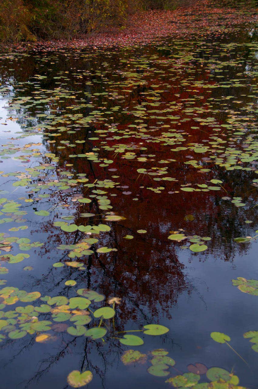 [/largeimage]
Since I last posted about the three-week sea kayaking trip that I led for Chewonki along the Maine coast I've been pretty busy. Since the 19th on July I've been all over the place including:
<li>Got a call one evening from my boss during the couple of days off after the three-week trip that led to me going out and paddling with the Boatbuilders group for two nights. That's a really cool trip where the kids first spend two weeks (and change) building their own sea kayaks and then spend the remaining time of the five-week trip paddling as far up the coast as they can. I joined them in Muscongus Bay and paddled with them around to Owls Head.</li>

<li>Paddling twice with our North East Rivers group, once on the Deerfield Dryway in Western Mass, and once on the gorge section of the Kennebec which is incredibly fun big water that I hadn't done before.</li>

<li>Led two groups from Camp Winnebago (contract trip through Chewonki) on what were basically crash whitewater paddling courses up at Big Eddy. It's cool to see the differences in kids that participate in different programs.</li>

<li>Paddled some new stuff on the West Branch of the Penobscot with my buddy Tom and another friend Dave. Tom is just about to leave for the West Coast for a while, so it was fun to get a last hurrah paddling with him (which turned out to be a second to last hurrah as he also showed up to paddle on the Kennebec)</li>

<li>Been up to the Big Eddy Campground three times, and into Baxter Park twice.</li>

<li>Drove something like 1200 miles in Chewonki vehicles between resupplies, group pickup and drop-offs and returning participants back onto their trips. Only managed to get one flat tire in that time period on the logging roads, but I think built back that luck by retrieving a trailer that a group left at Big Eddy.</li>

<li>Interacted with six different groups in the field. Including showing up to one group only to find that a kids tent was sitting in a river that was about 4 inches deep during a ridiculous rainstorm.</li>
Now for a handful of pics:
[largeimage description="Boatbuilders on Harbor Island"] [/largeimage]
[largeimage description="Sunset over Cribworks"]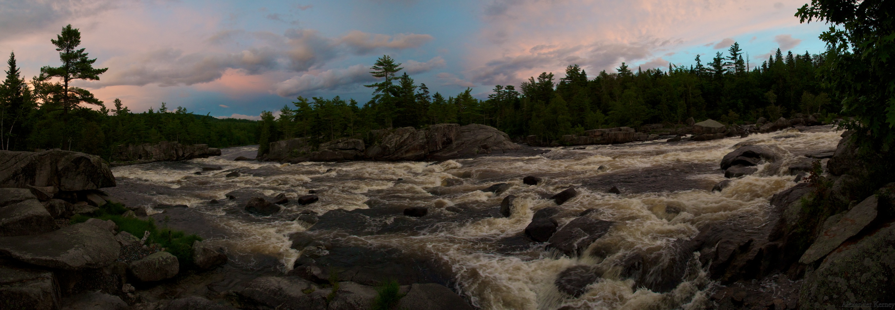 [/largeimage]
[largeimage description="The Great Game of Raft Dodging"]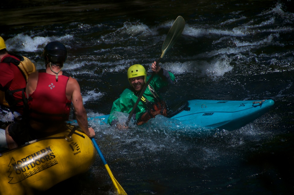 [/largeimage]
[largeimage description="Tom Going Deep"]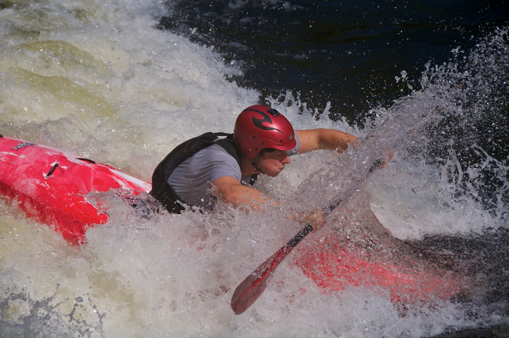 [/largeimage]
Finally it was the end of the summer, so we had a party which included contra-dancing which had many smaller fans.
[largeimage description="Chewonki Contra-Dancin"]
Tom also just posted an amazing video that he made of some paddling this spring, so check it out.
http://vimeo.com/27709618
If you've noticed that anything has acted a little funky lately, wander over to the blog where I'm going to throw up a post describing whats going on soon, but largely you can buy things right off the site now!
...can make for a whole lot of the Maine coast explored.
This summer I'm leading Wilderness Trips for the Chewonki Foundation, and for the first session I led the Maine Coast Kayak Trip. On the 28th of June 6 participants arrived on Chewonki Neck. My co-leader and I got them ready, and we shoved off of the banks of the waterfront on the 30th. On the 18th of July we were picked up in Seal Cove on Mount Desert Island.
For those of you who may be visual learners here's what it looks like on a chart:
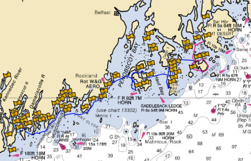 And, for those who are most impressed by raw numbers the route is about 140 nautical miles long (via roughly drawing it between points as I can remember later on the computer) or 161 some odd miles long to you landlubbers. We also camped on 13 different islands.
More important is what we saw and experienced in that time. Some of the highlights would be:
<li>Seeing a sleeping seal pup floating as we rounded Pemaquid Point, and then seeing the pup wake up just a couple of feet away.</li>

<li>Paddling in the morning fog through the Muscle Ridge Channel.</li>

<li>Freshwater swimming in quarries on three different islands.</li>

<li>Some random stranger from the Midwest with two hilarious dogs giving us ice cream on Swans Island (Thank You!)</li>

<li>Sunsets and sunrises that you just can't see anywhere else.</li>

<li>Making it all the way up on our own (three weeks out, three hours back)!</li>
Here are just a couple of pictures that I took on the way. There are way fewer keepers shooting with the GoPro than if I was shooting with D90 which just finally got out of the shop.
[largeimage description="Sunrise at Spectacle Island"]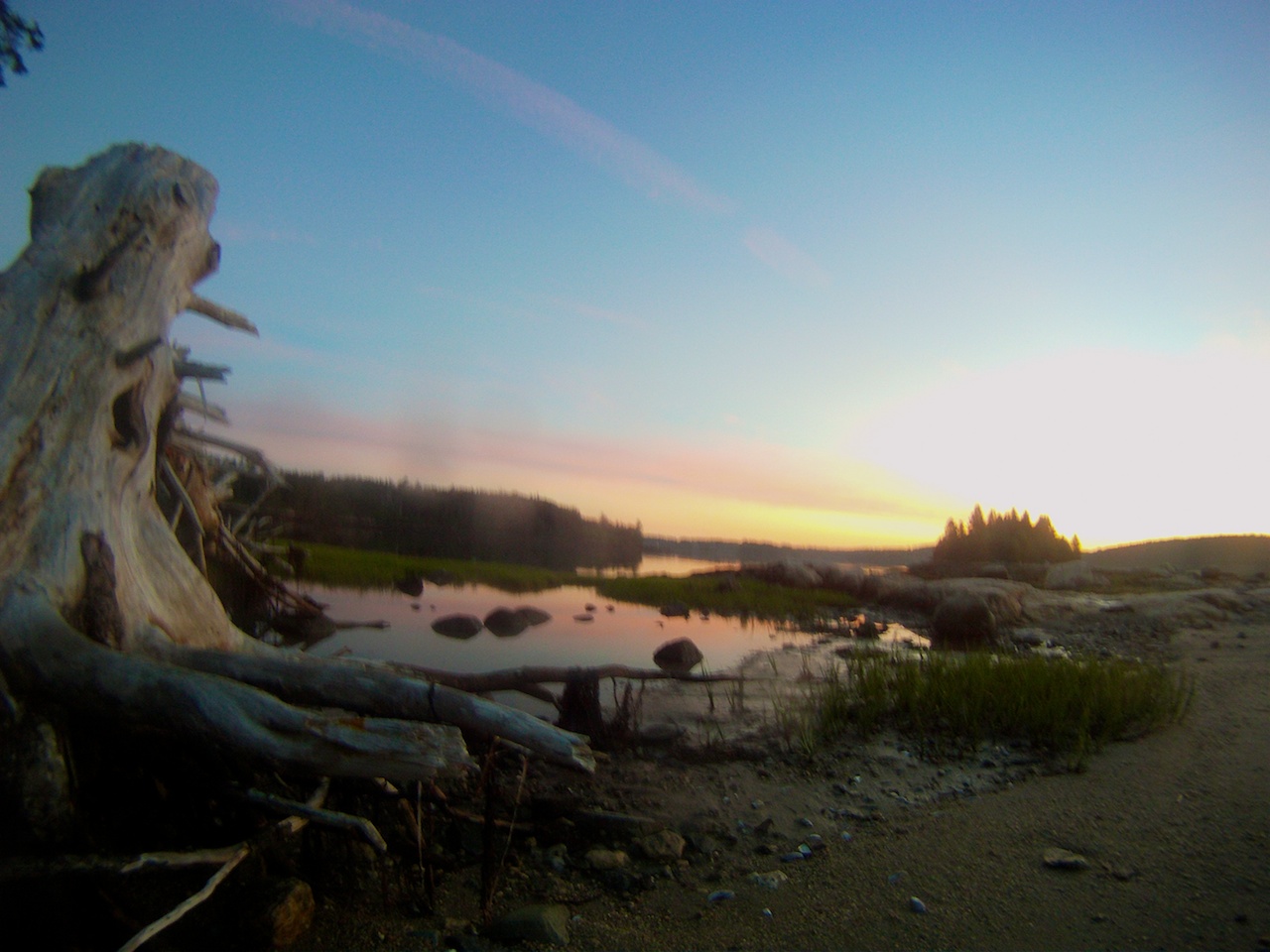 [/largeimage]
[largeimage description="Old Hurricane Island Hardware"]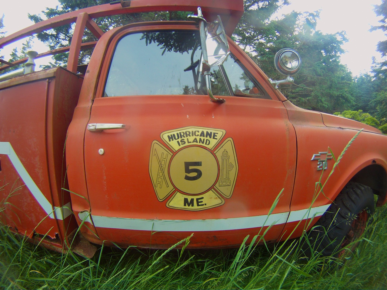 [/largeimage]
[largeimage description="Sunset on Little Hen Island"]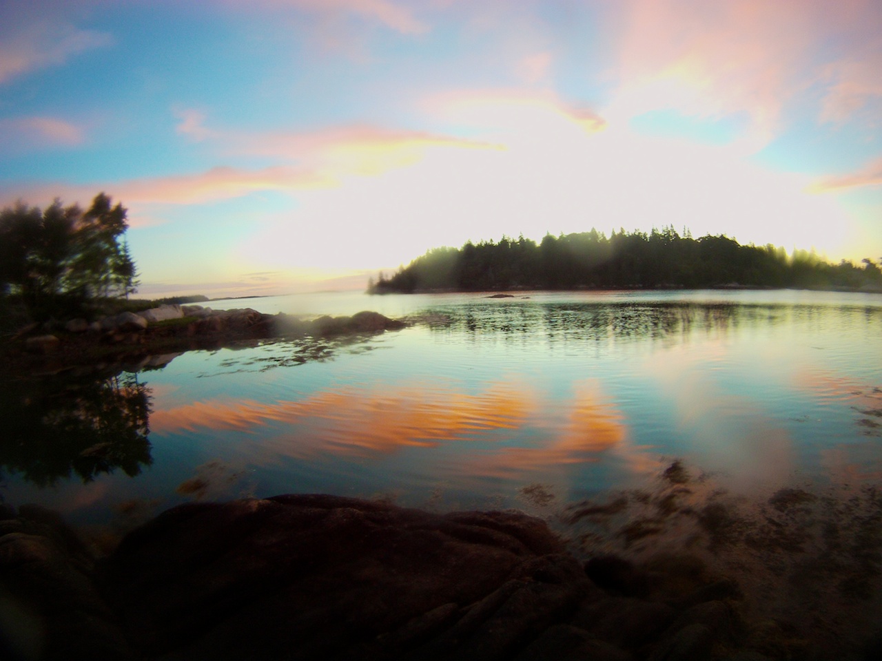 [/largeimage]
Late Breaking News: I'm headed back out to join the Boat Builders' trip for a couple of days.
For the next three weeks I will be out of touch again. I'll be headed out and along the coast of Maine by sea kayak. We will be starting at the Chewonki waterfront, and after about three weeks we will arrive at the western edge of Mount Desert Island and Acadia National Park.
The participants arrive tomorrow, and we will be headed off to our first island on Thursday. Hopefully my camera will get repaired and it will make it's way out to me on a resupply, but I will be attempting as much shooting as I can get out of the GoPro until then.
We have a couple of notable islands on our hit list:
<li>We will be doing a service project on Hurricane Island which is made notable by Outward Bound and is now run by the <a title="Hurricane Island Foundation" href="http://www.hurricaneisland.net/">Hurricane Island Foundation</a>.</li>

<li>Watching fireworks from Harbor Island in Muscongus Bay.</li>

<li>Swimming on Green Island and possibly picking raspberries on a different Harbor Island in Merchants Row.</li>

<li>Visiting the Seal Trap on Isle au Haut.</li>
Plus the usual amount of fun of just being on the water with kids.
Also while I'm out I have another picture hung at the Boothbay Region Art Foundation, and a couple more getting printed and then my grandfather has agreed to stretch them.
The image at the top is a screenshot from a really cool tool. It's Marine.GeoGarage.com which allows you to plot a course on NOAA and other charts for free and layer them over Google Maps as you wish. It's not the greatest yet at sharing what you produce, but you can export your route as a GPX file.The panorama that I put up in the Boothbay Region Art Foundation gallery sold today!!!
Unfortunately I don't think I can get another one printed and hung before I head out sea kayaking for 3 weeks, but I probably will get them ordered and be ready to hang one as soon as I get back!
Now I just need to decide what pics I'm going to use!