2011 (old posts, page 2)

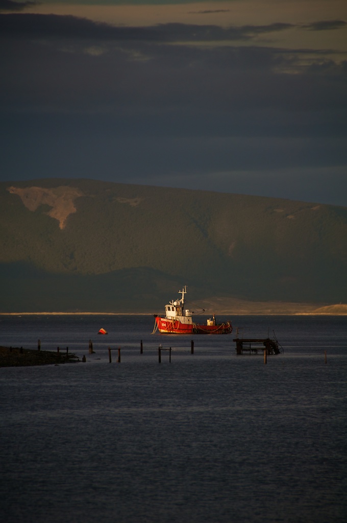
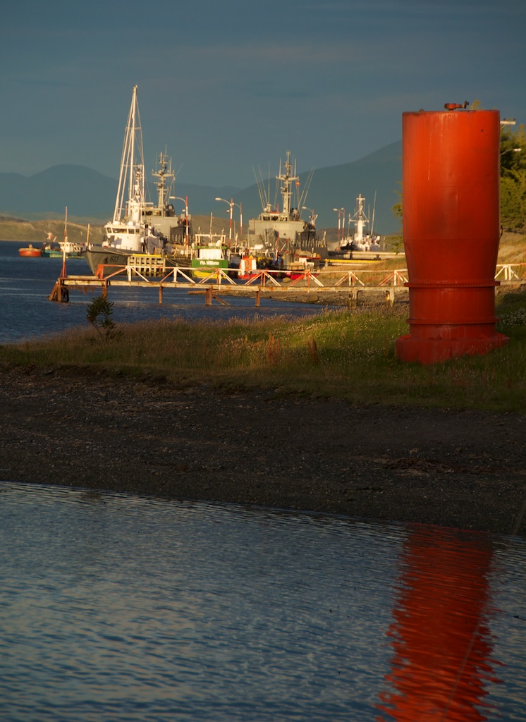
Heading out of Punta Arenas

All my stuff is packed, except for my computer, there's apparently breakfast downstairs (but I probably can't eat any of it), and then all that's left is to head for the airport.

Currently I taking LA 80 from Punta Arenas to Santiago where I transfer to LA 530 to JFK with a midnight stop in Lima and then I'm on AA 3812 from JFK to Boston tomorrow.

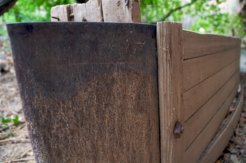
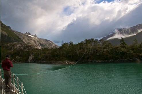
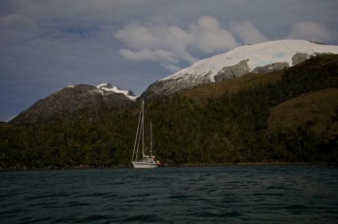
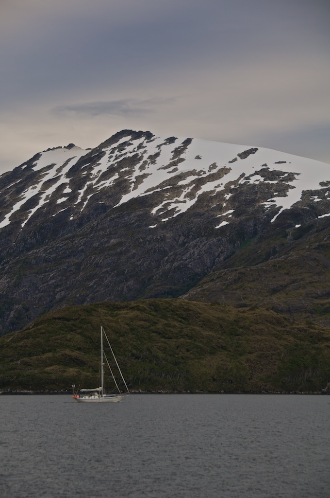
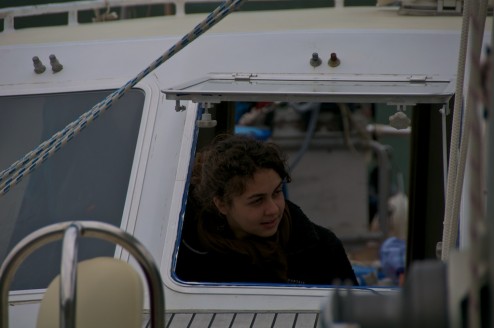
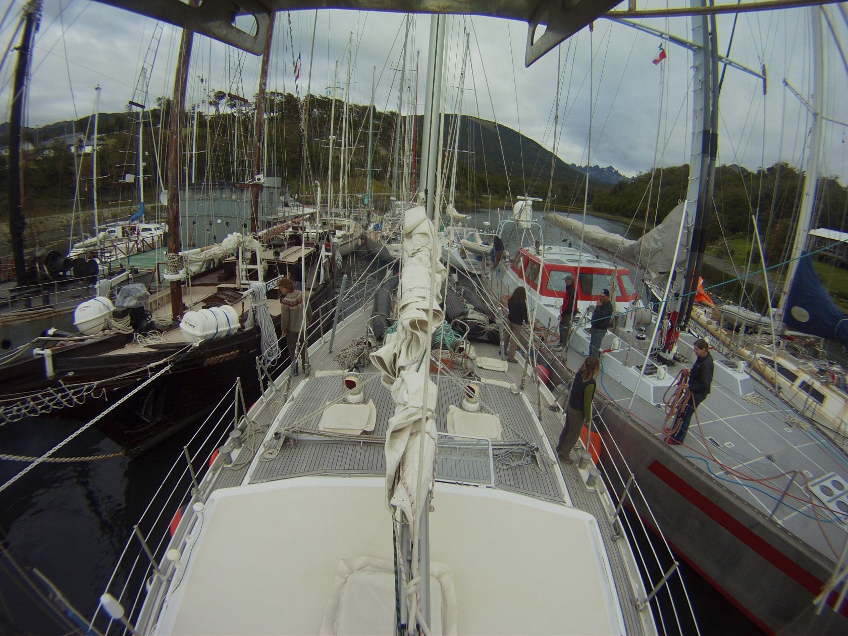
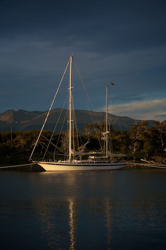
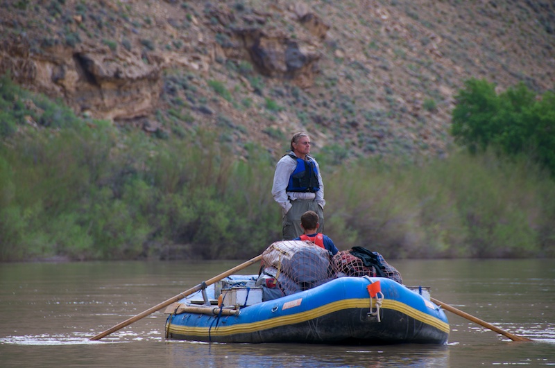
Bonus points for any one that can identify the boat in the picture, or at least the owners. A-Basin folks rather than Mainers might have a better chance at this one though. Hint: They also row and write.

Oh and good luck to Dobish, may he survive his bachelor party intact.

I'm Alive!

And I'm headed North!

I'm currently sitting in a hostel in Punta Arenas trying to figure out why none of the posts that I sent from the boat over the last 2 months have worked, and dealing with a slow connection. Not as slow as coming back to Puerto Williams and finding that the internet connection had its power yanked (not just Charlie's internet, but the tower providing internet to most of the town) so full updates will have to wait until I'm back in the States which will be Sunday.

Rafting for class!

The adventures of posts traveling through time continue!

It seems that most visiting geology professors at Colorado College have a knack of extracting amazing field trips from the budget. Steve Quane had two volcanology field trips to Hawaii (one of them was the same block as this trip), and another subduction trip up to British Columbia that I missed. They also can extract beer money from dining dollars because our food was paid for by the NSF...

Will Ouimet managed to arrange a rafting trip with NSF backing along with the king of river incision and his grad students, but before we made it to the river we had to drive there first.

A little gallery.

Same pictures, just bigger and slightly different commentary.

[gallery columns="5" orderby="ID" class="fancybox" link="file"]
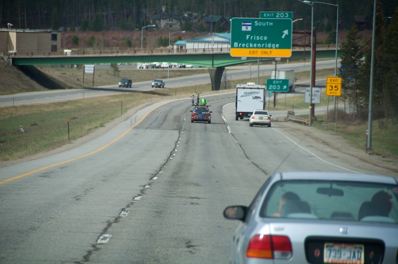

DSC_0932.jpg

Another paddler on the road! But we are only part way there, and later we hit some traffic in the rain...
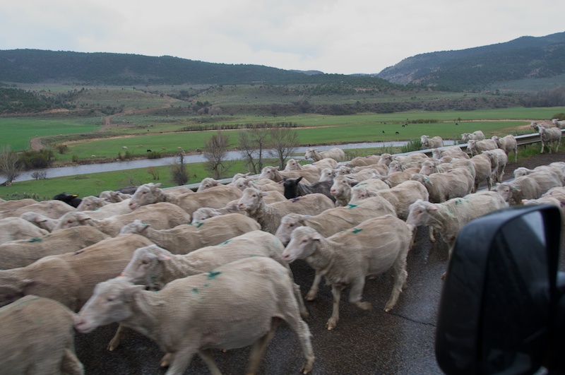
DSC_0937.jpg

... and their well camouflaged chaperones.
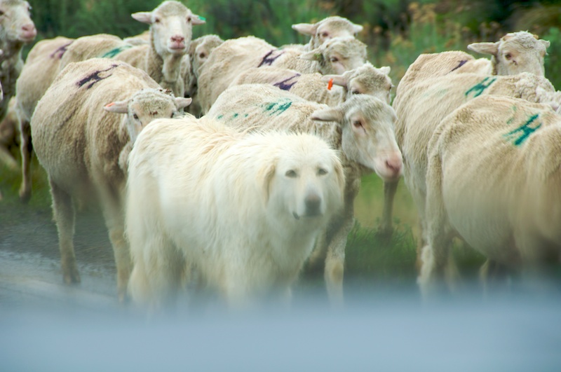
DSC_0952.jpg

Soon we made it to Utah and the launch for the Desolation and Gray canyon section of the Green River. So we launched.
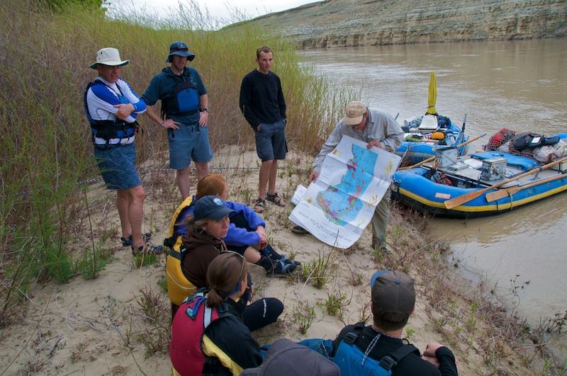
DSC_0956.jpg

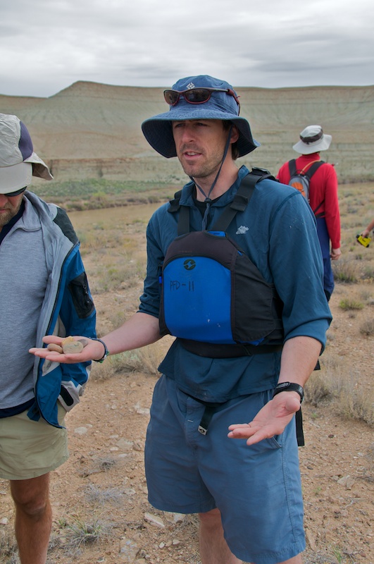
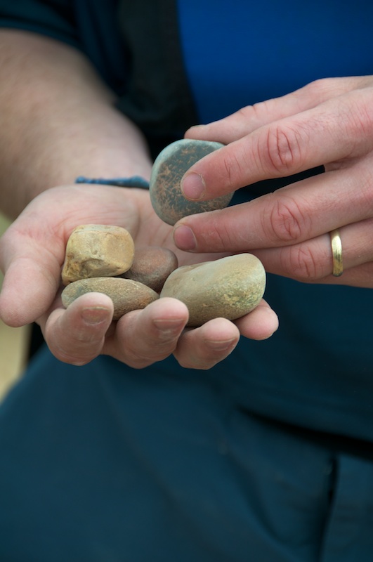
Will found some rocks.

DSC_0965.jpg

DSC_0966.jpg

So we took some pictures of them.

DSC_0971.jpg

Kira slipped back into river guide mode.
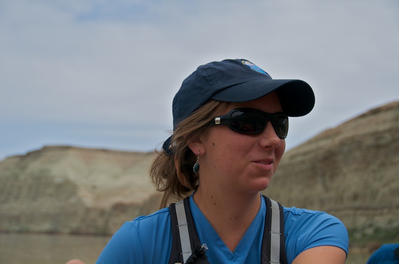
DSC_0977.jpg

There was some small scale deformation in the canyon walls...
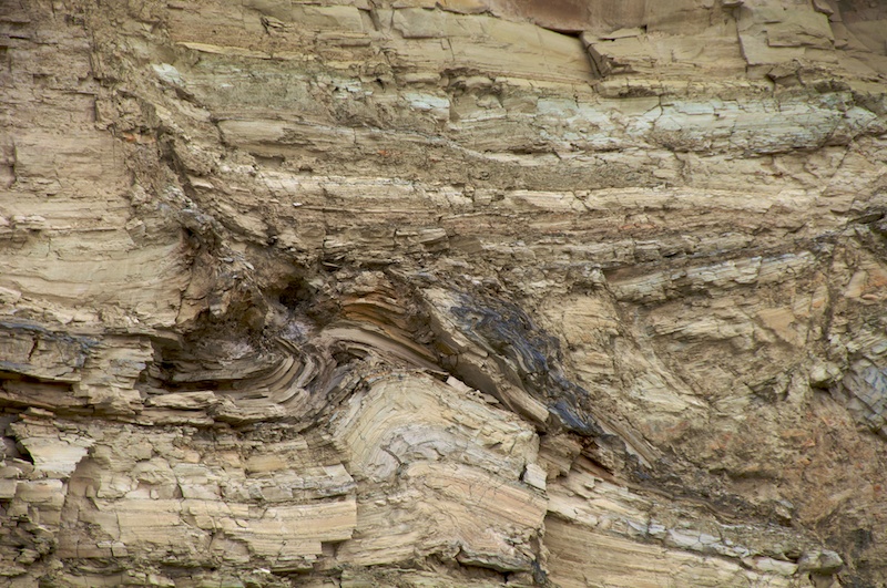
DSC_0986.jpg

... and the type of sediment that I like. Nice, solid and polished.
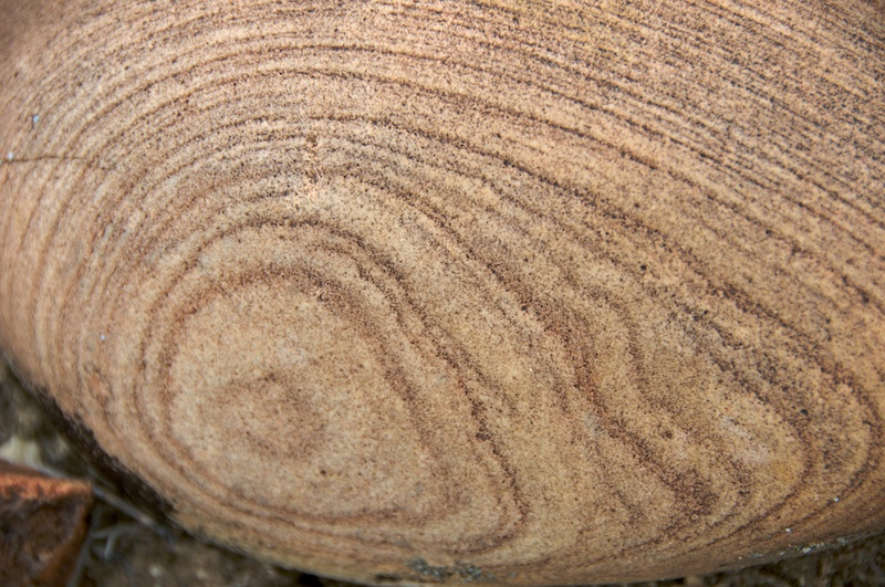
DSC_0998.jpg

Some interesting erosional features when the strata has be upturned.
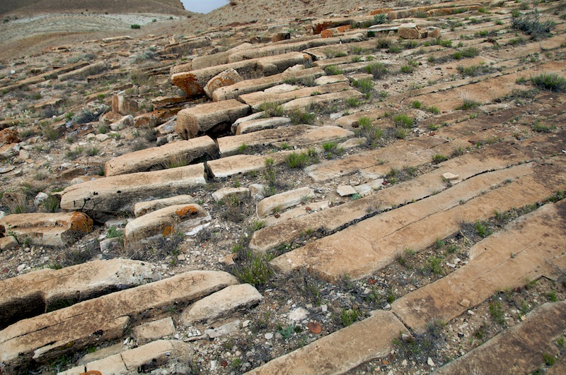
DSC_1000.jpg

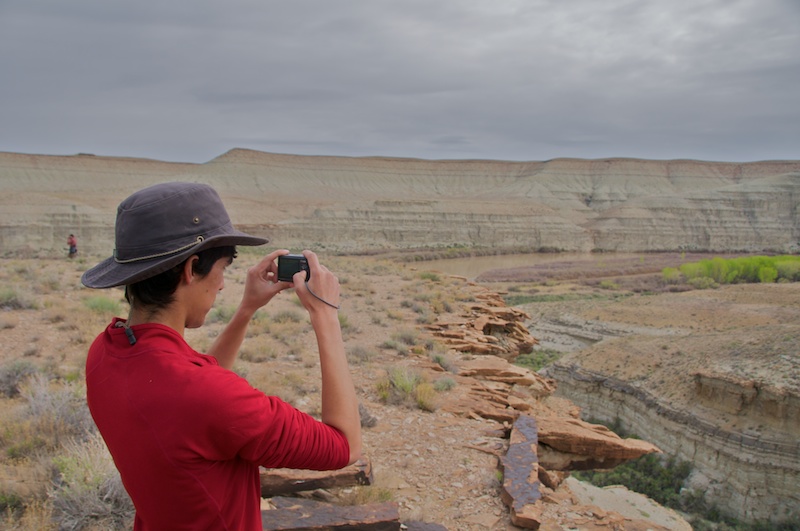
Eventually I took one of my most favorite kinds of pictures.

DSC_1007_Panorama.jpg

Elliott found a couple of rocks that he was interested in that weren't at river level.
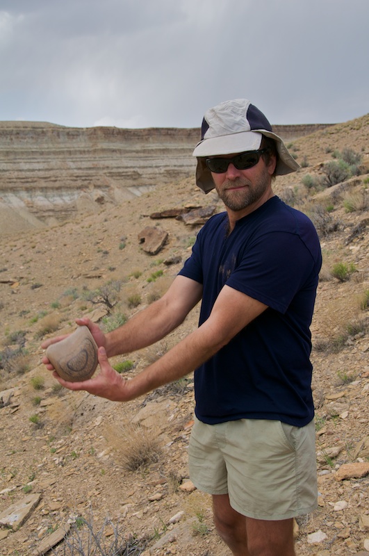
DSC_1019.jpg

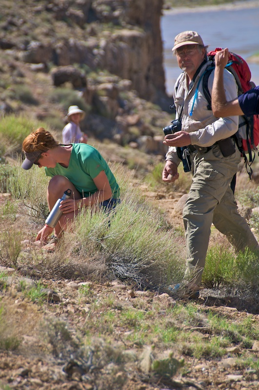
Andy was one of the grad students from University of New Mexico, and this field trip was key for his doctorate. This trip was a scouting mission so that he could find surfaces that he could date in order to track the change of river incision rates and knickpoint migration through time as the Green River has been affected by the Colorado River.
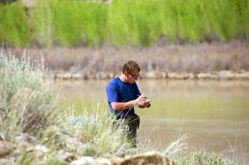
DSC_1022.jpg

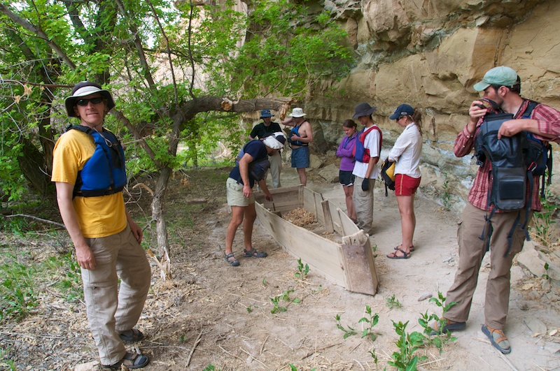
We found some old abandoned boat among the banks.
DSC_1032.jpg

DSC_1033.jpg

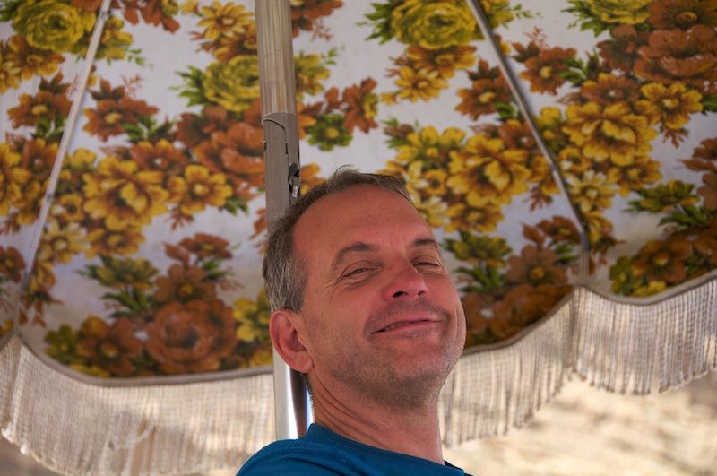
Bruce Coriell, the school chaplain came, along as one of CC's rafting experts. He also turned out be be an expert in beer selection for river trips, and introduced me to my current favorite beer, Old Chub by Oscar Blues. He also has a flowery umbrella to avoid the sun.
DSC_1039.jpg

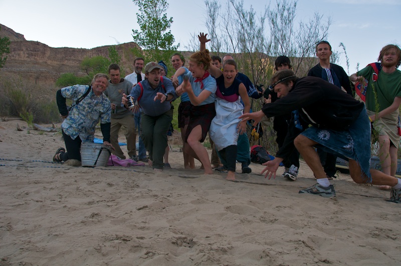
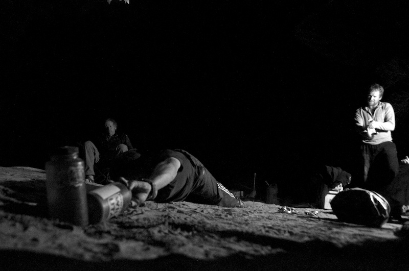
Having such quantities of beer (and margaritas and...) led to some fun river games very late at night.
DSC_1066.jpg

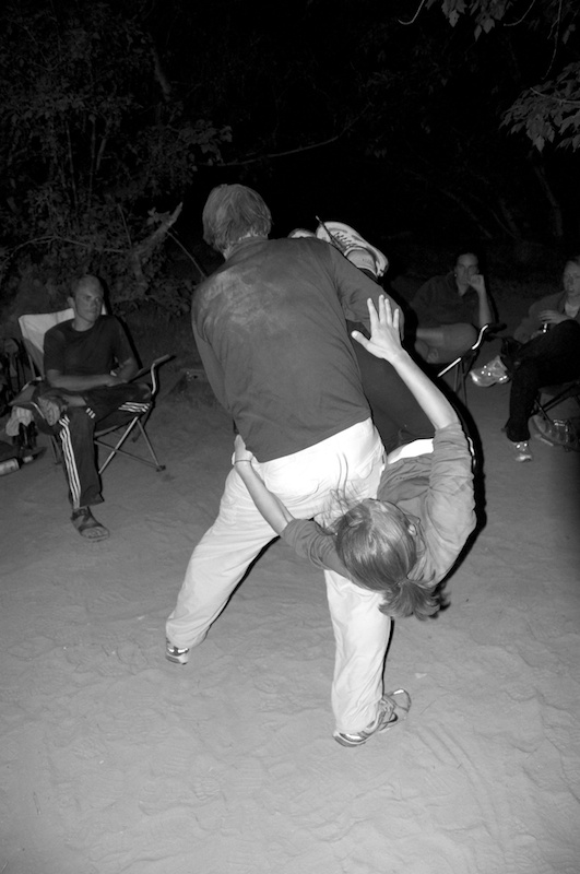
And late night river games lead to even later night crazy weight sharing dancing.
DSC_1106.jpg

Which lead to more rafting the next morning.
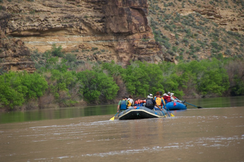
DSC_1114.jpg

Anna might be wishing for something after the partying.
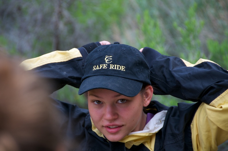
DSC_1123.jpg

Commodore Karl surveys the fleet.

DSC_1128.jpg

Unsurprisingly we did some more hiking, but we discovered a small hut.
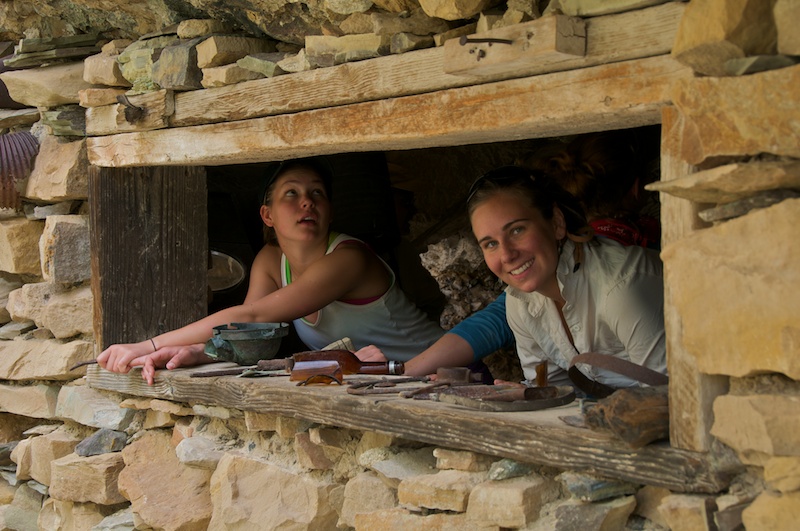
DSC_1140.jpg

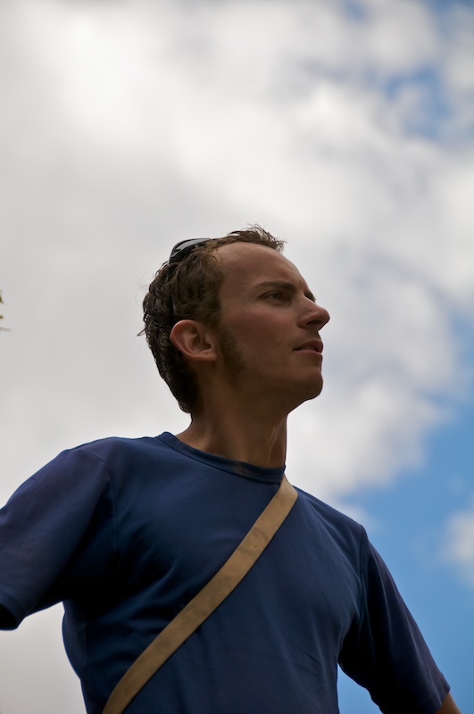
Andy tries to look important....

DSC_1149.jpg

... or he might just be contemplating the petroglyphs that we discovered.
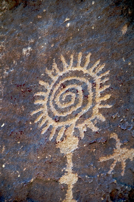
DSC_1161.jpg

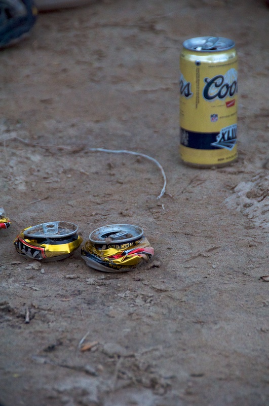
We tried to balance on cans...

DSC_1199.jpg

... though that was a failure so we instead just tried to balance.
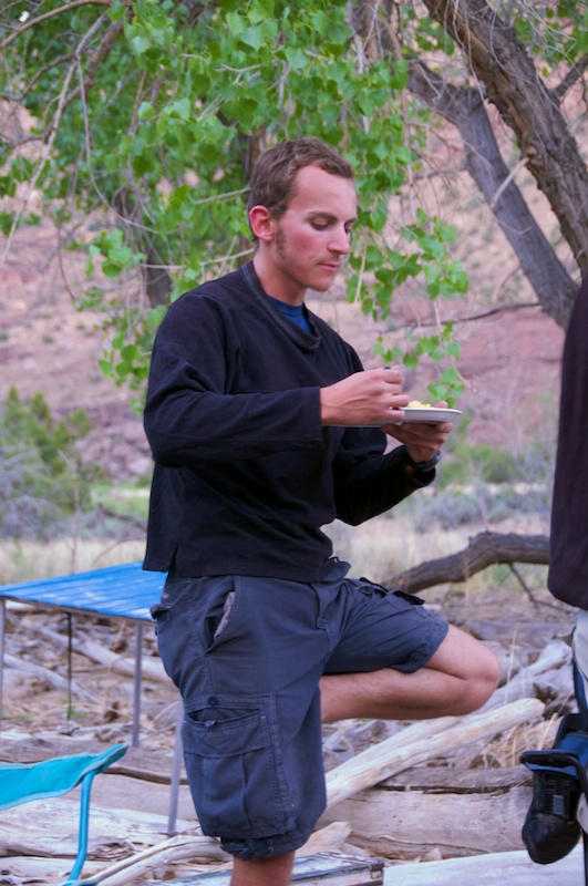
DSC_1201.jpg

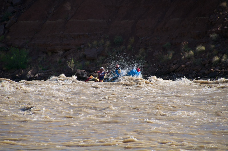
At this point we encountered a large change to the river. A landslide came into the river over the winter drastically altering and probably making the rapid the hardest of the trip. What was most interesting about was the fact that we were one of the first groups to put on as the river went over 15 thousand after its winter level of several thousand, so we had no information about the rapid beforehand.

So we spent some time contemplating it.
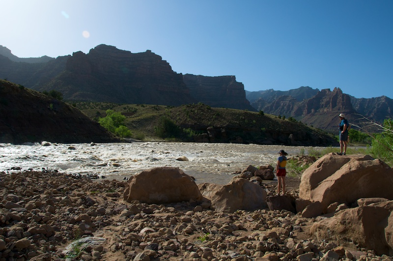
DSC_1208.jpg

As this was Will's first river trip he had to do some more contemplating.
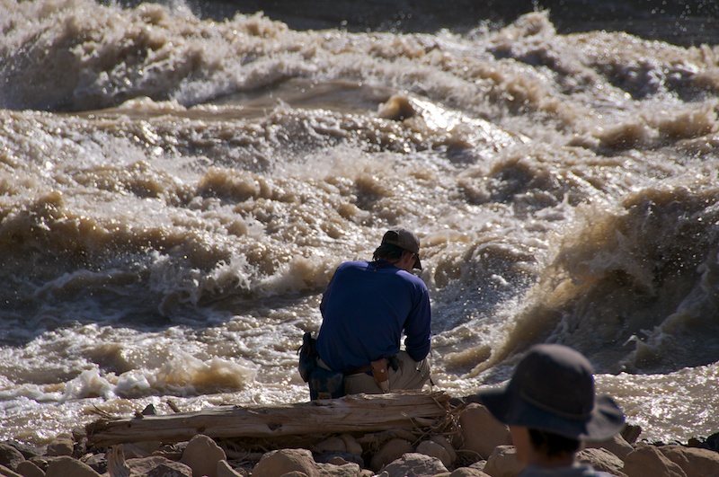
DSC_1216.jpg

Eventually we ran it with Karl leading the charge.
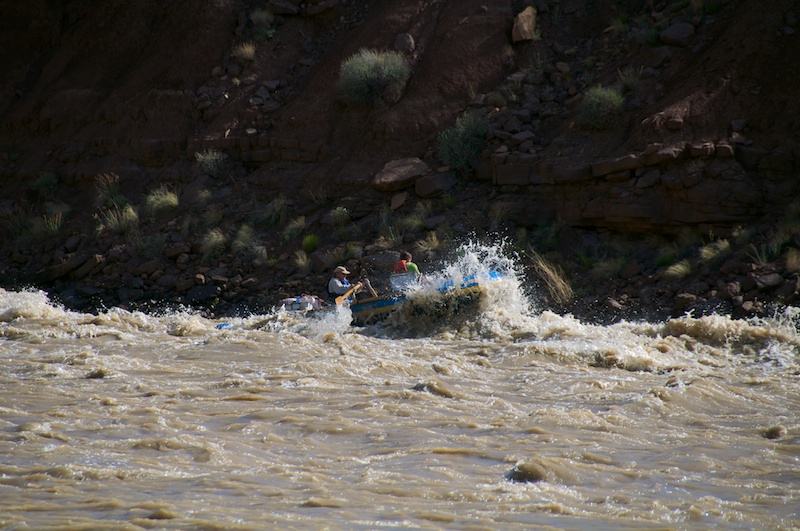
DSC_1225.jpg

DSC_1259.jpg

Then came some more scrambling.

DSC_1292.jpg

Along came another rapid where we quickly contemplated our fate.
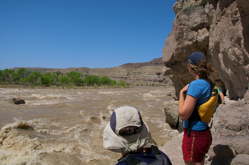
DSC_1298.jpg

Soon we went for another hike where we played with lasers!
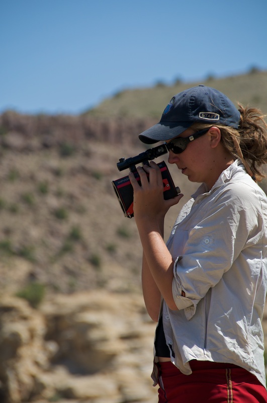
DSC_1349.jpg

At the top I tried to hide in a bush to stay out of the sun which offered me several artsy photo opportunities.
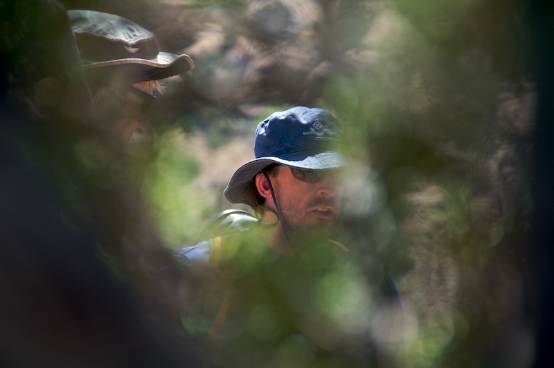
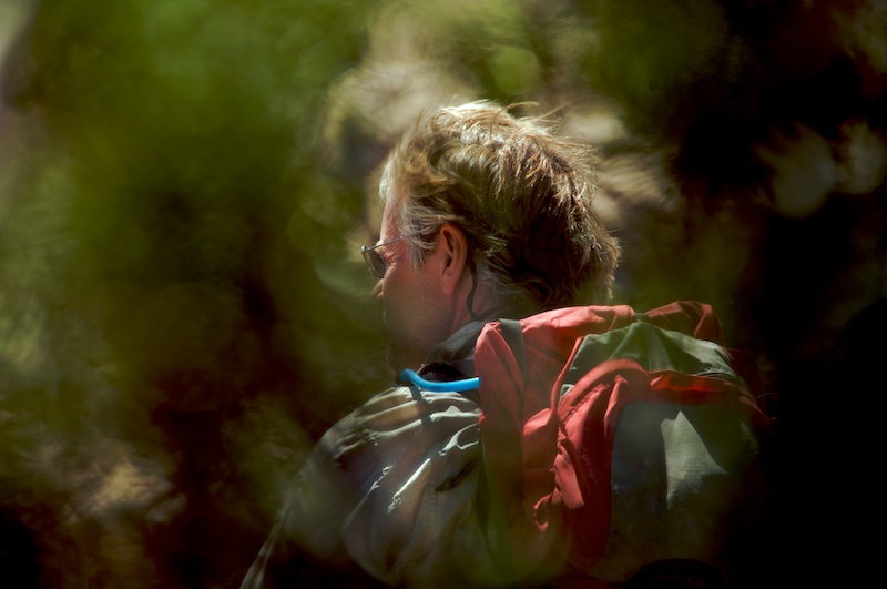
DSC_1356.jpg

DSC_1354.jpg

We continued along and found the remnants of a dam project that was thankfully never completed.
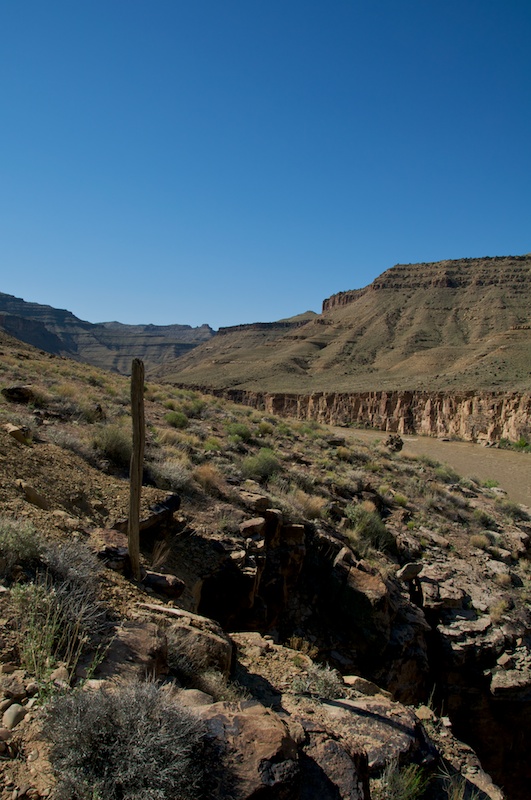
DSC_1435.jpg

Another paddle and hike later...

DSC_1461.jpg

... we ended up pointing at things from way above river level.
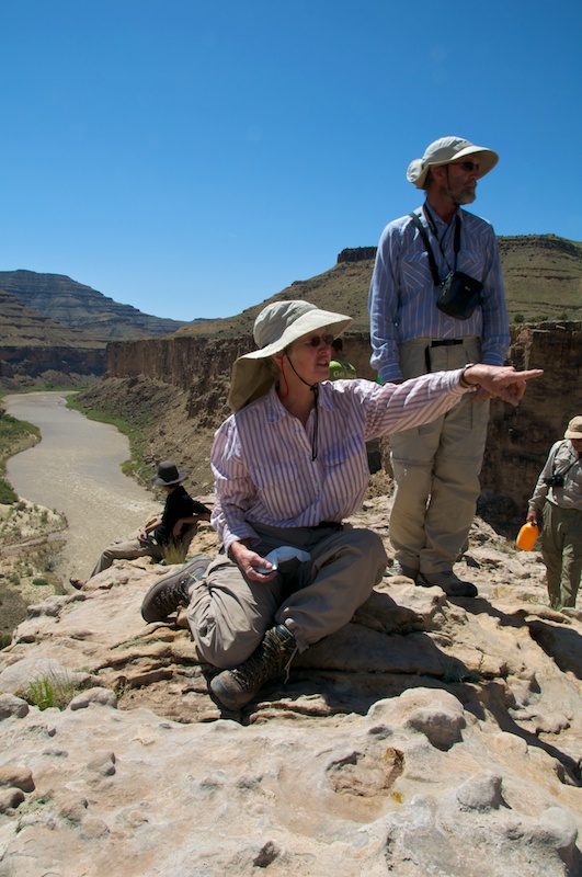
DSC_1473.jpg

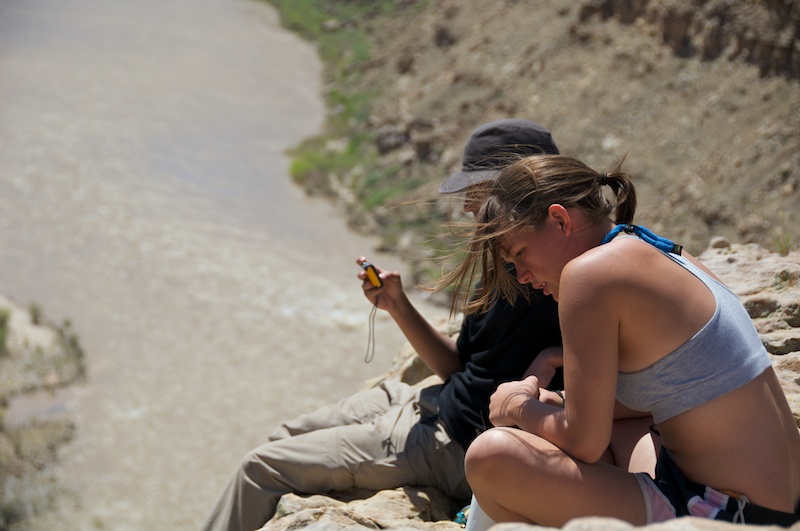
Anna and Robert contemplate just how high above the river we are. It's nearly straight down into several feet of water.
DSC_1481.jpg

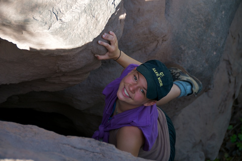
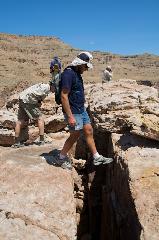
There was a large fracture heading straight down which Elliott tested for invisible or trick bridges.
DSC_1487.jpg

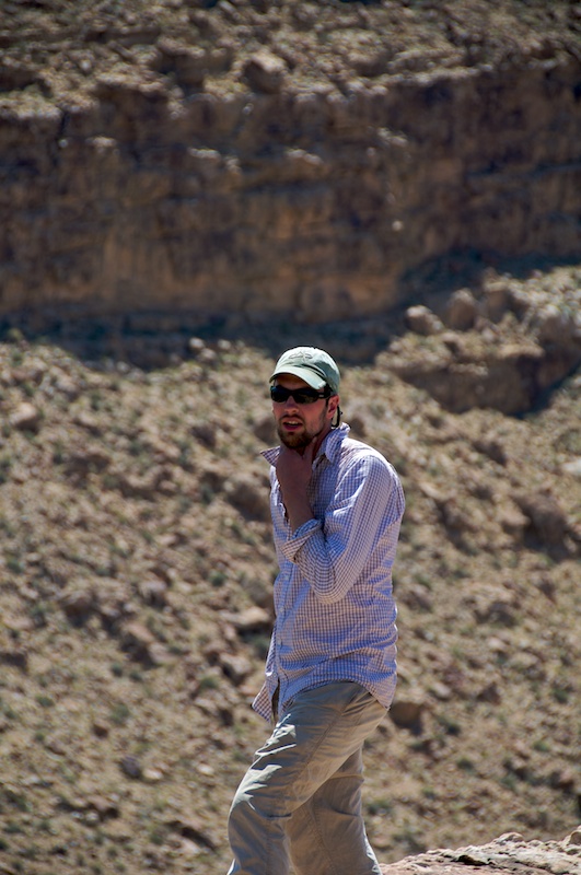
And I managed to get a picture of the rarely photographed Ryan from UNM!
DSC_1490.jpg

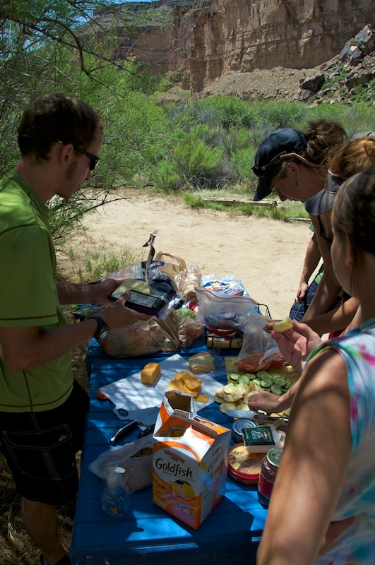
Even more importantly we had lunch!!

DSC_1511.jpg

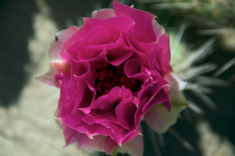
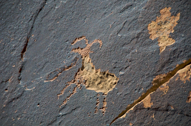
Then it was time for some more petroglyphs in the company of flowers.
DSC_1537.jpg

DSC_1526.jpg

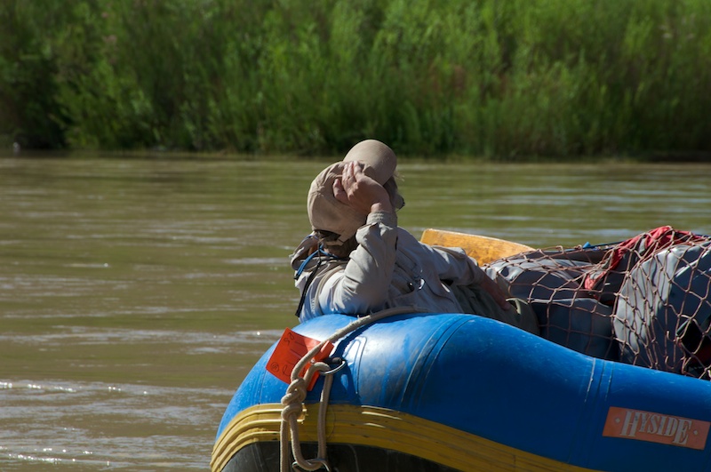
Commodore Karl surveys the rag tag fleet for one last relaxing time.
DSC_1558.jpg

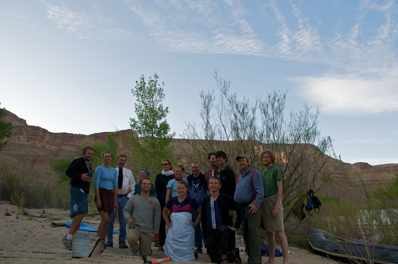
We all managed to survive a very fun trip in one piece....
DSC_1589.jpg

... or did we?
DSC_1579.jpg

Swiftwater

Another post from the past while I'm out and wandering.

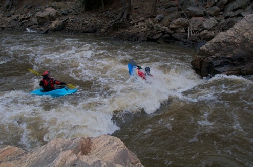
Sometime around the end of April 2009 the Colorado College Kayak Club had a swiftwater course with Downstream Edge. It was nicely timed just before my River Incision trip.

One of the nice things about setting up our own course is that we were able to have it on or 'local' run of Waterton Canyon of the South Platte.

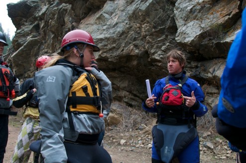
Tommy Hilleke was one of our instructors. Both instructors were awesome (Sorry, I just can't remember the other guys name!)

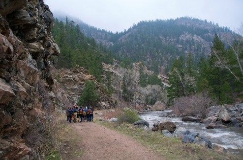
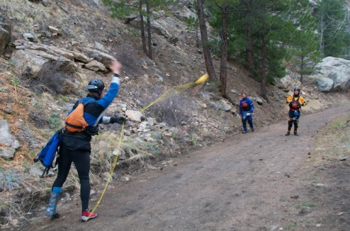
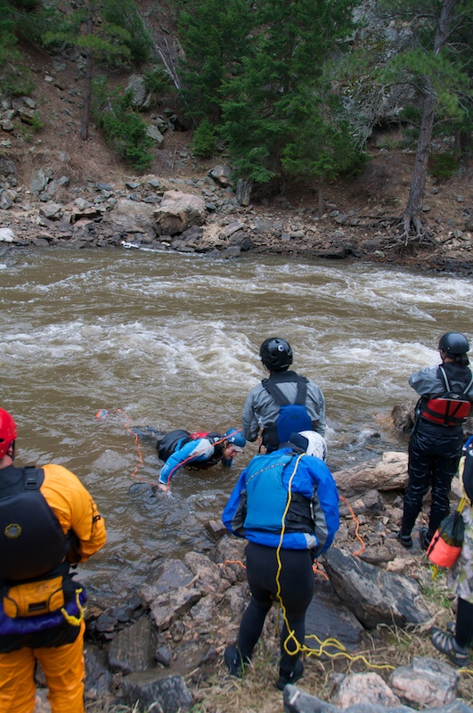
We started off with a bunch of throw bag practice.

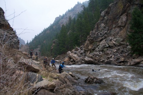
Then we did some rope practice in the river hauling in the instructors. Jake (the close thrower in the last picture) took over my camera at this point because he wasn't going to be scrambling about.

A couple other paddlers came through and played in the hole next to where we were practicing.

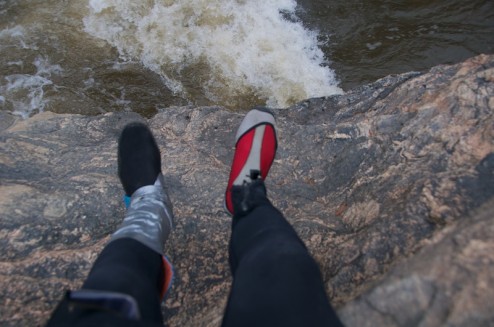
Then you can tell that Jake wasn't too enthusiastic about his situation by his next picture.

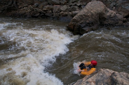
Thomas and the rest of us swam through the hole.

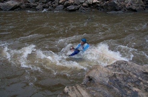
Then I got to practice being bag bait for Jeff.

Jake followed that up by taking one of the better pictures of me.

But apparently Jake's own situation went downhill slightly.

And, I hopped in the water again to snag another instructor.

All too soon it was the end of the day and at end of the weekend we found ourselves back in the parking lot where some serenading took place.

http://vimeo.com/19078364

Changing Statistics

In the morning, if all goes to plan, we will be leaving Puerto Williams for over a month. This will be a very nice change of pace at this point, because currently we have been out for 7 out of about 90 days that I've been down here. Bringing that ratio back up to around a third will be much nicer.

Anyways enough about statistics. We will be collecting data from all around Cordillera Darwin and Isla Hoste to study climate change. We'll be starting by heading to Caleta Olla where we were anchored the last night of the trip with the Swedish scientists where we will do some further tests of the GPS systems that we got working today while weathering a front. Then we will probably be checking the weather station that Charlie has installed and setting up a bunch of bucket gauges. If it's really calm we will try to fly one of the drones with a GoPro shooting time-lapse photos to test the ability to stitch together a Digital Elevation Model in the field.

If all goes well at Caleta Olla we will move on and work relatively systematically around Cordillera Darwin visiting each fjord that we can and setting up time-lapse cameras at the most interesting glaciers. Eventually we may move up a bit further North to work on a single glacier on the Straights on Magellan before heading back to Puerto Williams and possibly onto the Falklands.

Anyway, at the top for your viewing pleasure is a clip that I produced using several time-lapses that I shot with my GoPro during the first trip. It turns out the underside of one of the radars is a rather nice place to attach a suction cup.

The first segment is a shot once every 2 seconds, then once every 10 seconds, once every 30 seconds, and finally the last segment is once every 10 seconds again as that turned out to be a nicer rate, or at least it is to my eye.

The music is from the Summer Lawns on KEXP Live Performances Podcast playing I'll Drive, You Can Sleep Through The Night.

Bahia Pia

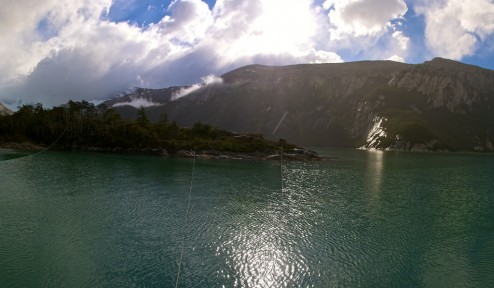
We woke up in Bahia Pia (S 54º47'85, W 69º37'65) to some strong winds so we threw out another shore line, but then it calmed down nicely, and Eric was able to do some fishing.

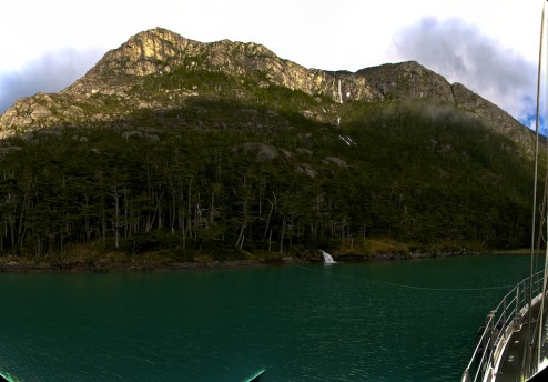
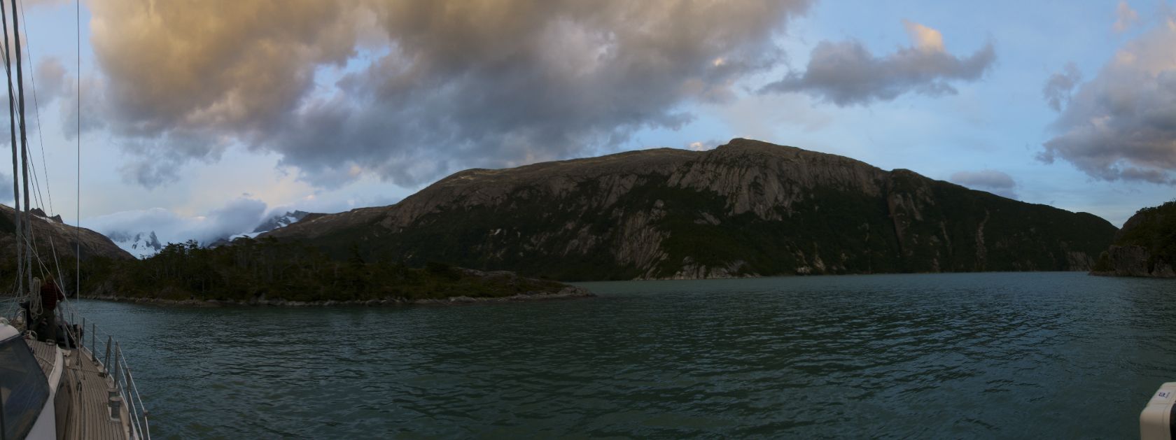
I had to take a couple of photos of our anchorage while we were getting the zodiac ready.

The mountains rise up so sharply from out anchorage that I had to take a panorama because I don't have a wide enough lens!

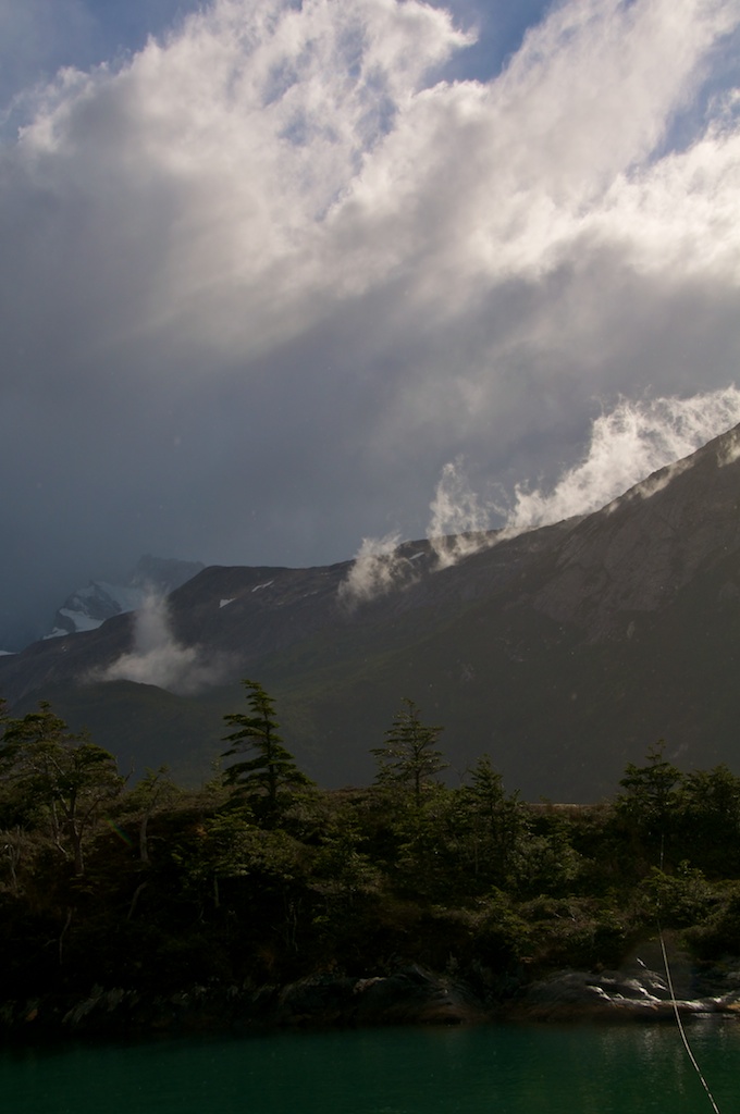
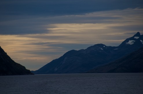
The clouds were nicely lit up on the far side of the fjord.

We found a nice section for Per, one of the Swedish geologists aboard, to settle into while a couple of us went on a hike to look at a few terraces.

_DSC0042.jpg

_DSC0050.jpg

Eventually we had a slightly soggy ride back to our anchorage.

GOPR3711.jpg

On the 10th there was an attempt for an early morning zodiac trip up to the glacier for the visiting Swedish scientist that came back slightly wet from an encounter with ice, so we packed up and headed for Caleta Olla.

We saw quite a few glaciers along the way.

_DSC0011.jpg

_DSC0013.jpg

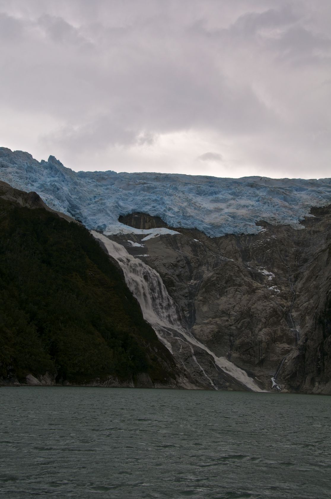
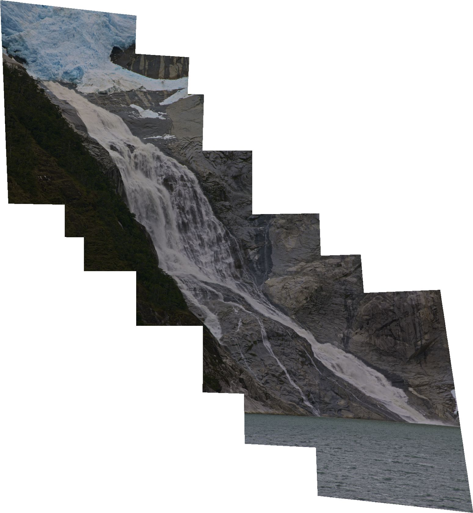
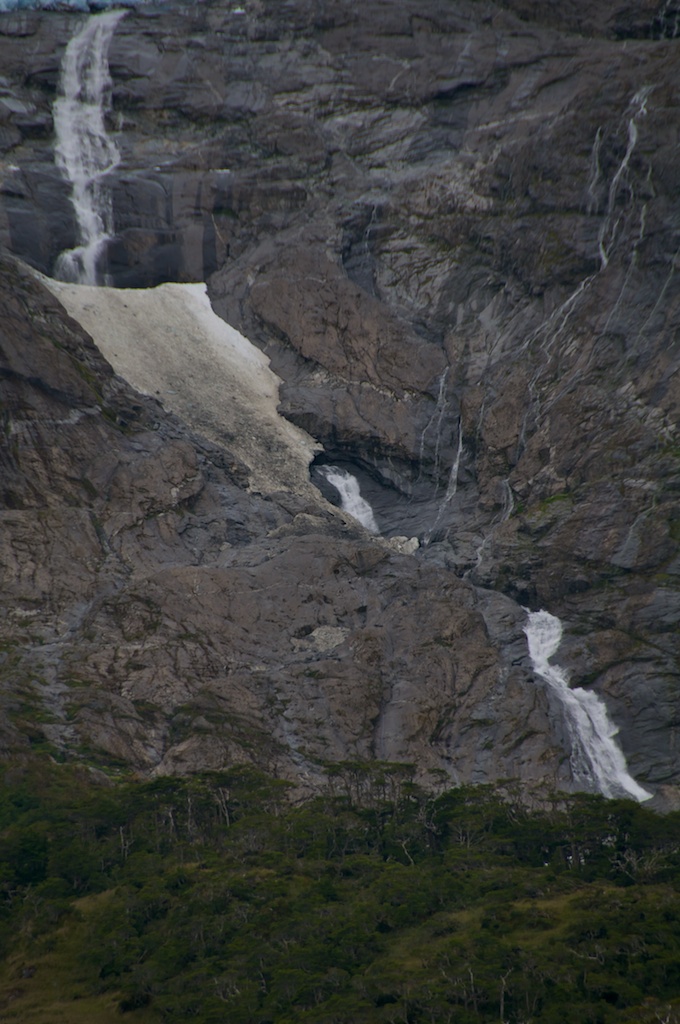
We eventually came across a glacier that terminated at the top of a cliff and had a waterfall all the way to the sea.

_DSC0042.jpg

I ended up making a 800+ MB stitch though it's largely blank space. The real question though is if my buddies David or Eli could paddle the bottom section?

_DSC0047pano.jpg

Later in the afternoon we arrived in Caleta Olla where we had some homo sapiens for neighbors for the first time.

_DSC0074pano.jpg

Sailing!

Well, mainly motoring as we traveled to Bahia Pia. but there was a short segment of sailing involved.

First we had to leave our nice anchorage in Estero Fouque which is a little bit more complicated than just pulling up the anchor. Anchoring in the Patagonian fjords (and apparently most fjords) involves multiple lines tied off to shore in addition to a large anchor down. We started our stay in Estero Fouque with 4 lines, but we added a 5th, and in Bahia Pia we started with 5 lines and have moved to 6!

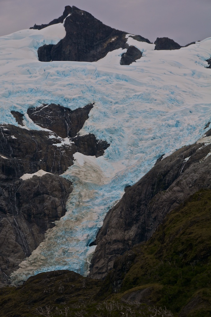
We had a few nice glacier views along our way.

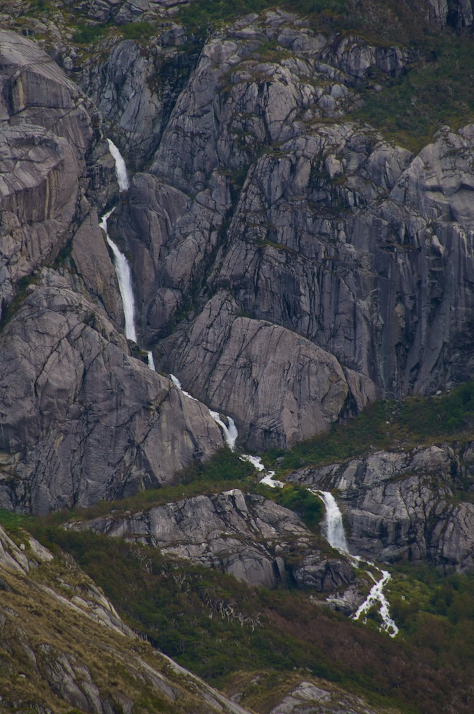
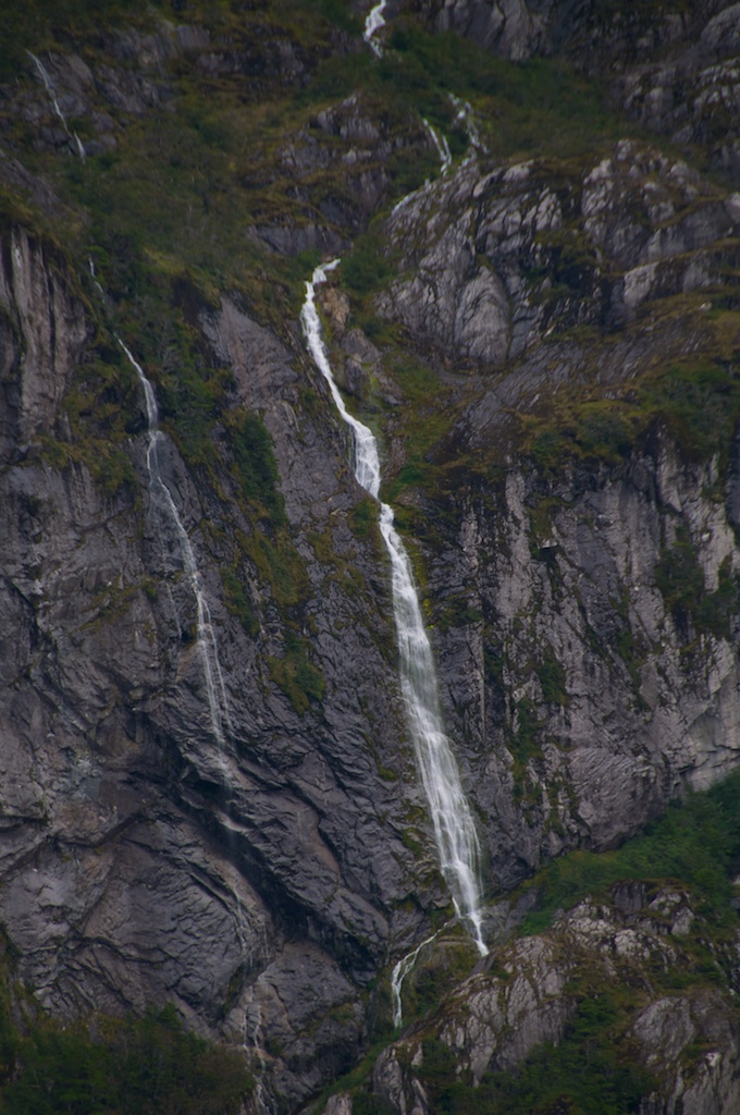
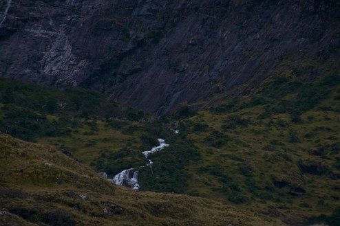
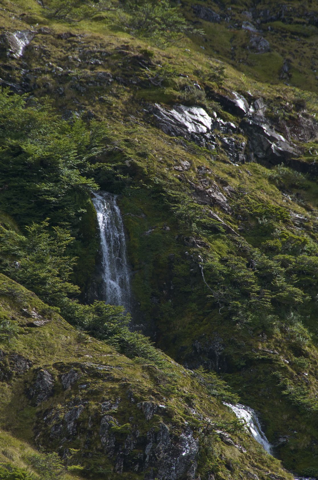
And a lot of waterfalls that I obviously took pictures of.

We had some really interesting light in the channels while we traveled west. Despite getting off early and shooting this picture around noon there were clouds over the channels that blocked direct sun. It looked like we had a sunset at lunchtime both to the East and West.

We encountered heavy traffic for the fjords (we saw someone else...)

We made a detour into check out a couple of glaciers, and I saw what might be a slightly more promising looking river.

Though the headwaters could be quite an interesting paddle. I saw some sort of blowout occur in the channel under the snow and a sudden surge of water travel down the falls, but it quickly calmed back down.

Eventually I focused on the ice nearby...

while the locals had some commentary about us.

Jackie spent most of the day at the helm.

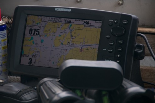
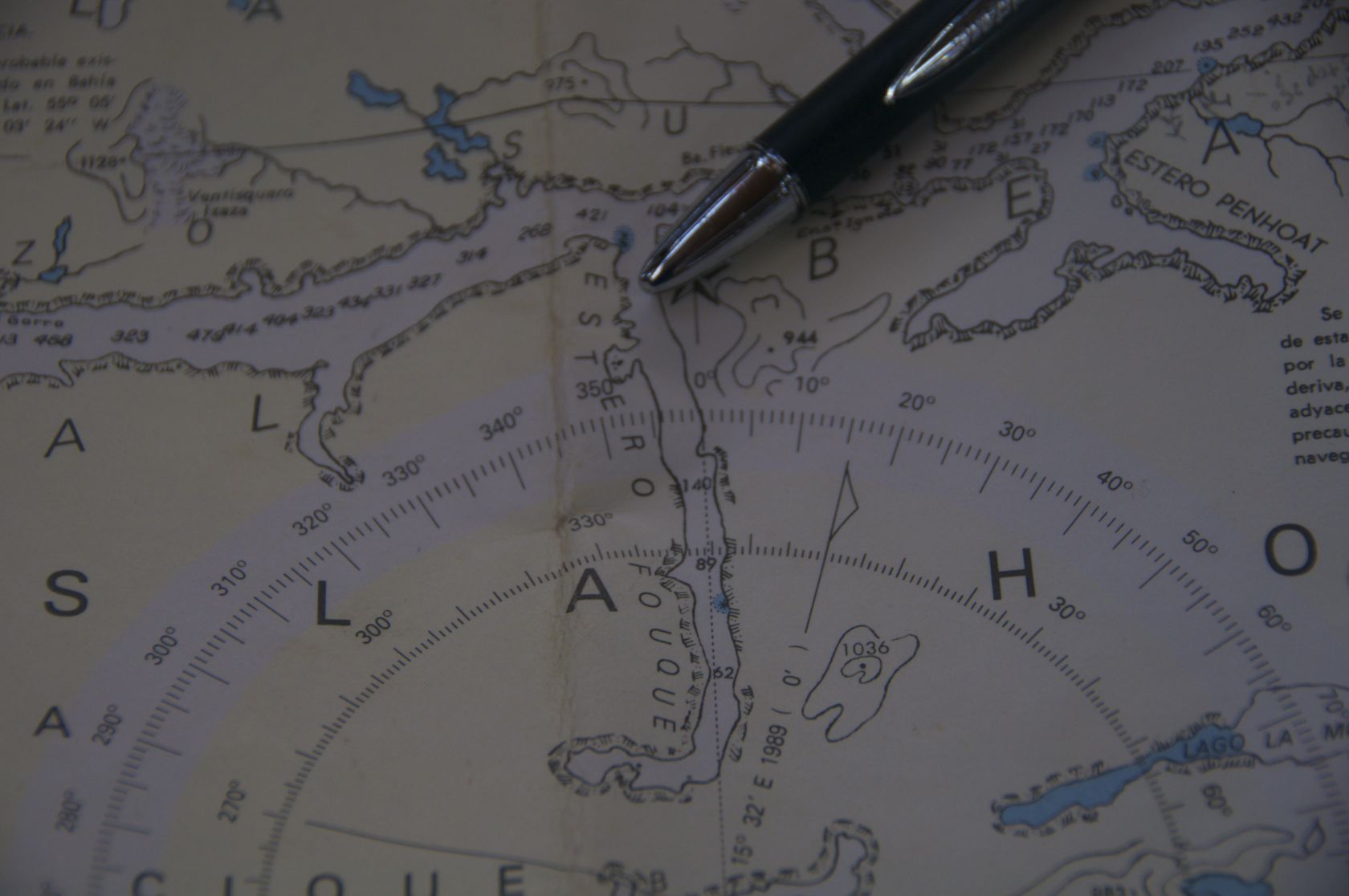
Apparently the Chilean Armada hasn't decided on which datum they use on their charts, and the companies that produce digital charts haven't reprojected those charts which can make for some interesting looking GPS tracks, though this shot isn't too bad looking. What is notable, at least on the paper charts, is how few bathemetry tracks have been collected and incorporated into the charts.  There usually is a single string of depths through a channel, and everywhere else is speculation. Pretty soon we would raise the staysail and the mizzen for a short time to steady the boat while we were exposed to swells coming in from the South Pacific, but we quickly ducked back in behind a few islands as we headed for the North arm of the Beagle Channel.

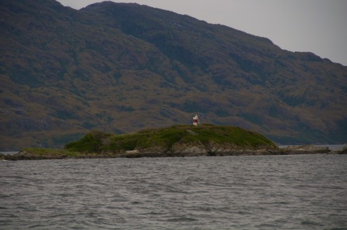
We passed quite a few more automated lights, and several Armada lookouts which we have to call into as we pass.

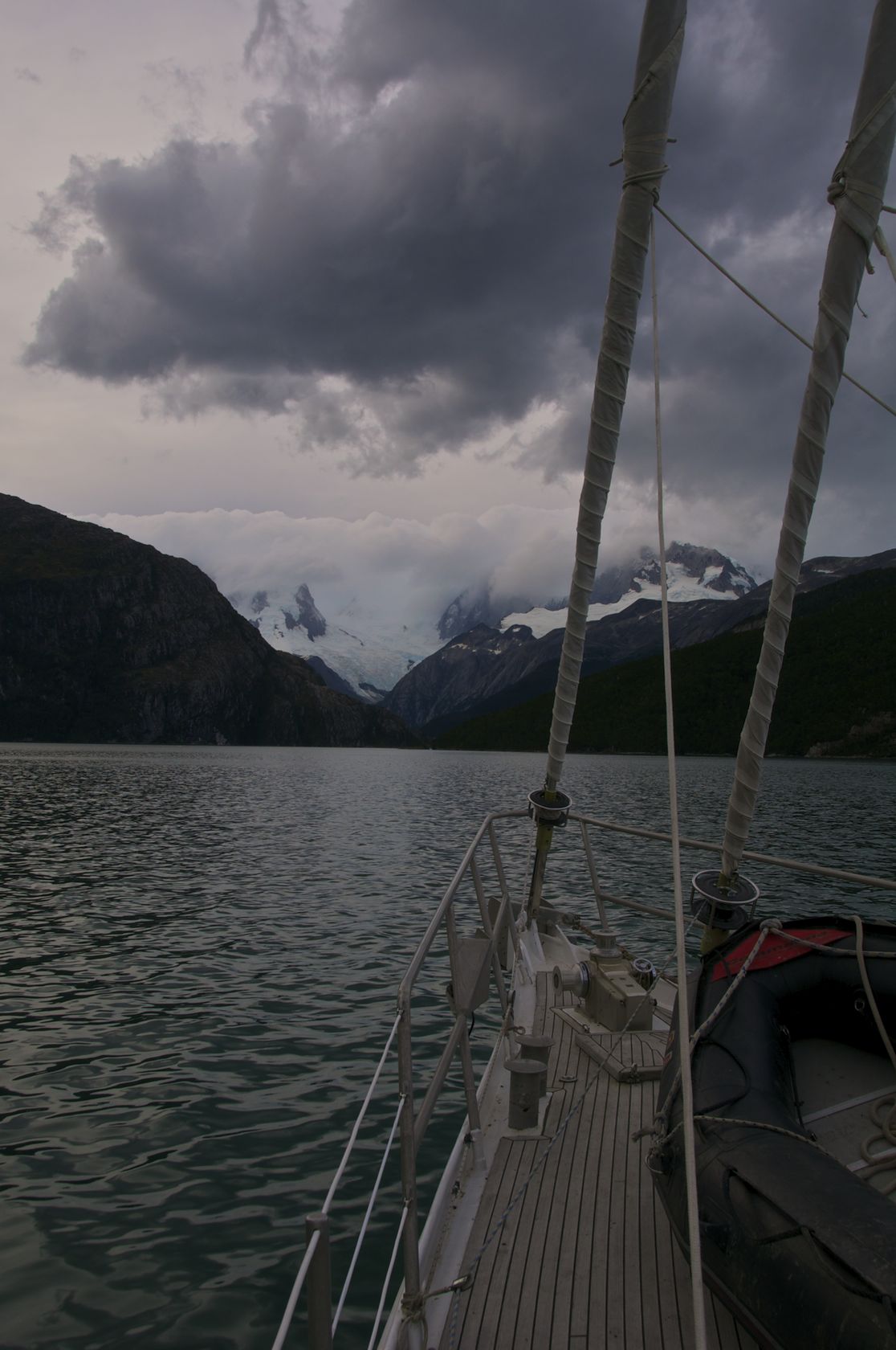
We eventually turned into Bahia Pia and got a glimpse of the Cordillera Darwin.

_DSC0164.jpg

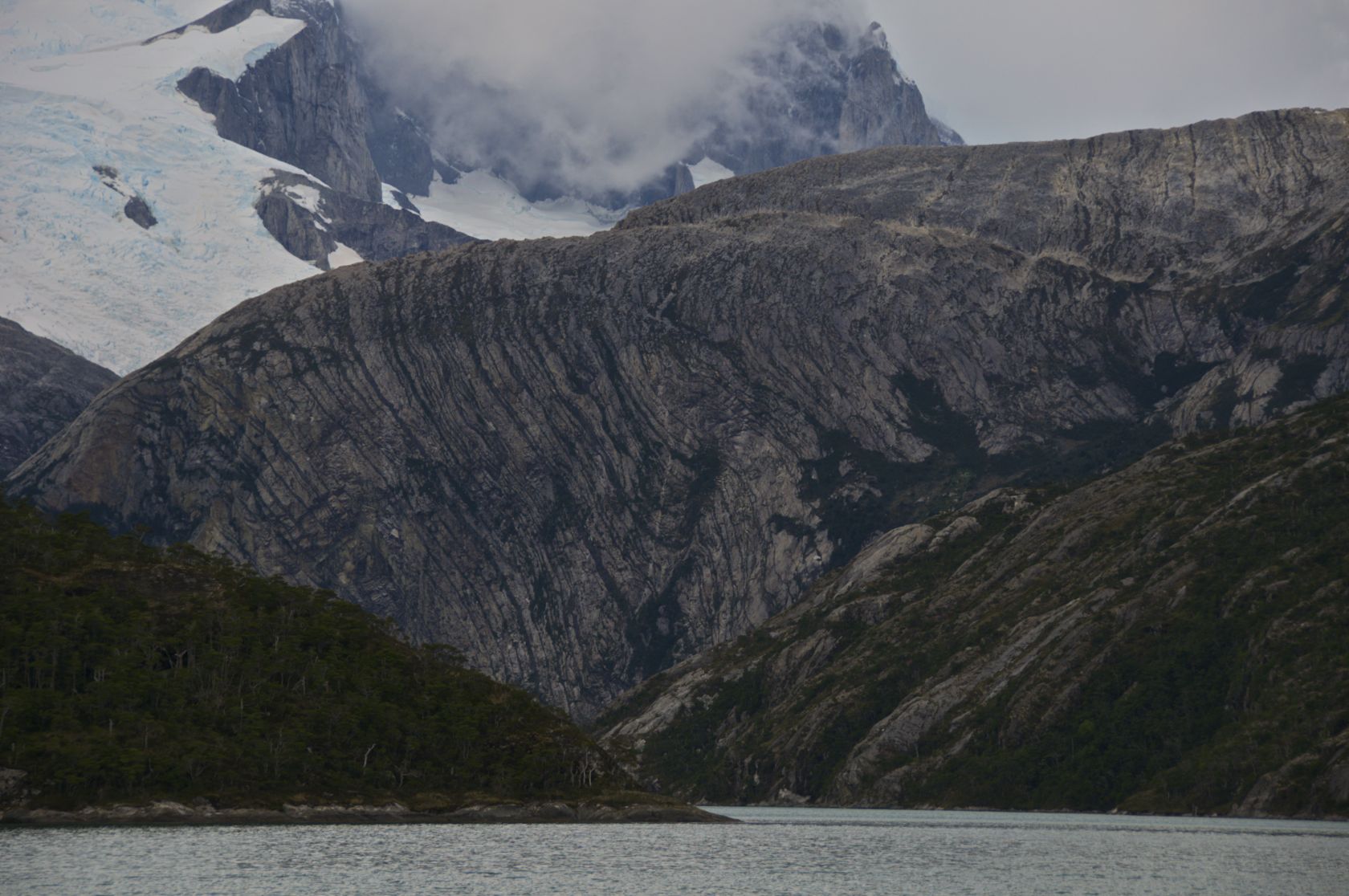
As we wound our way up the fjord, and the rocks around us were wound themselves.

_DSC0167.jpg

Eventually after launching the smaller working Zodiac in high winds we anchored in another nice spot.

_DSC0169pano.jpg

Estero Fouque

In the morning we found ourselves in Estero Fouque of Isla Hoste around 55º03'10'' South (still amazing to be saying South rather than North with coordinates!), 69º33'30'' W.

_DSC0359.jpg

Estero Fouque is a couple mile long fjord, and due to arriving early in the morning I wasn't sure which way we had entered the fjord from as I rolled out of my bunk to help anchor in a little cove.

_DSC0085pano.jpg

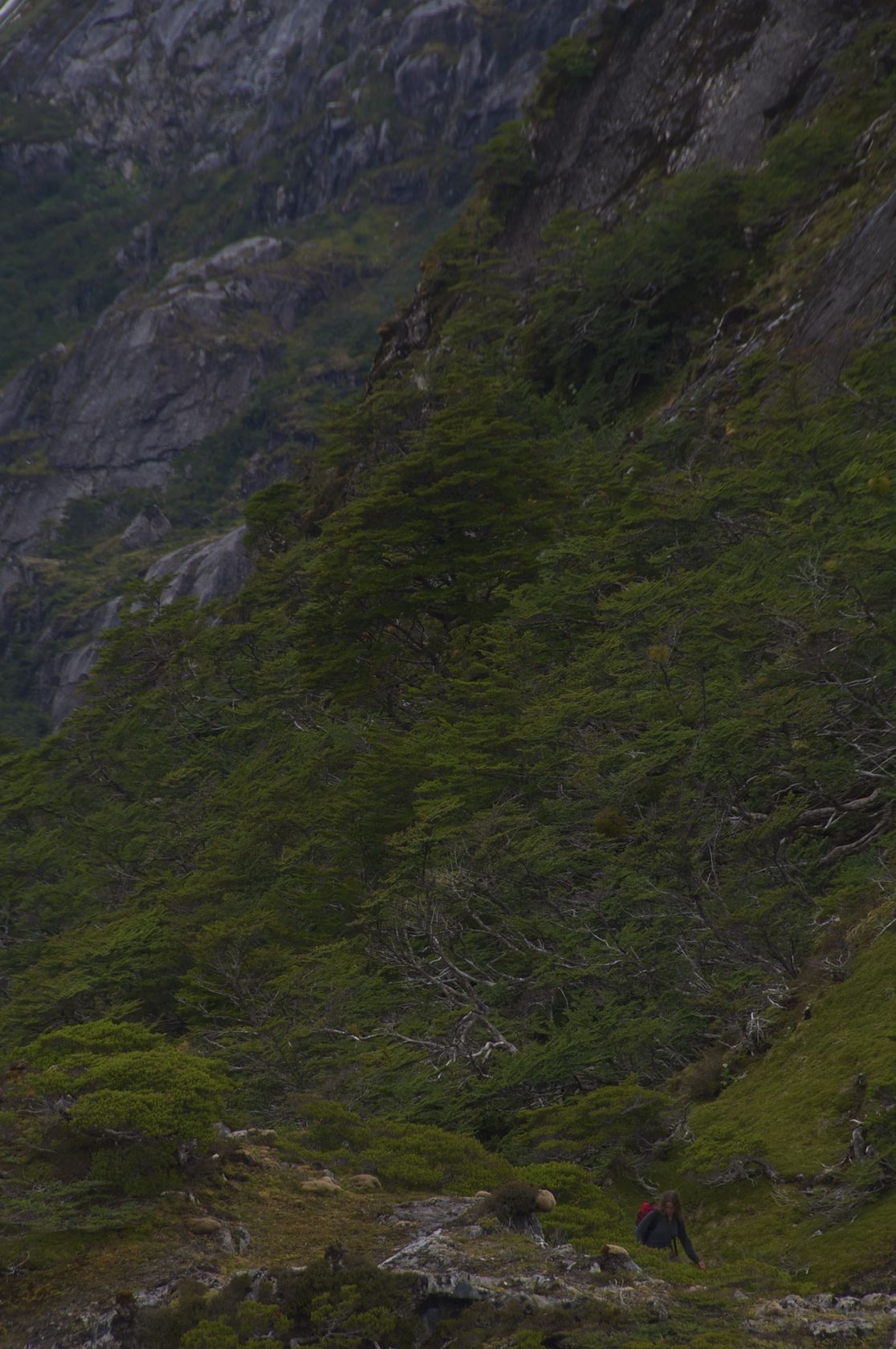
With our visiting Swedes off with Charlie investigating different coves to core Christine and I went for a hike in the mountains above Ocean Tramp.

_DSC0250.jpg

I quickly sited some interesting looking waterfalls and started heading there direction.

_DSC0160.jpg

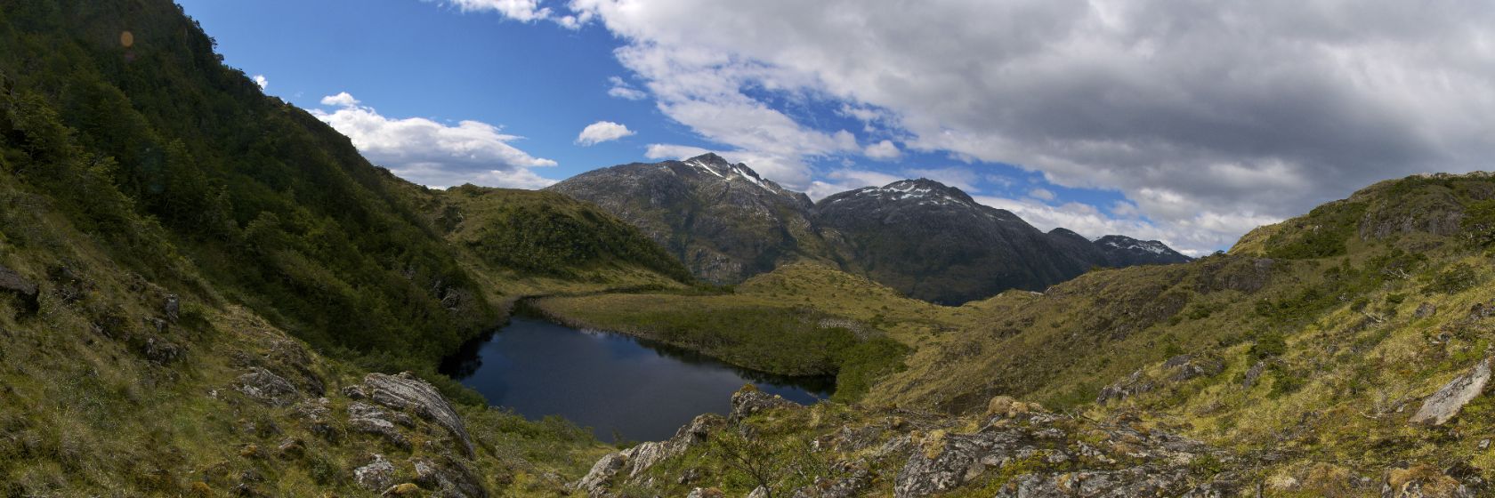
The waterfalls turned out to be feeding a nice little lake.

_DSC0194pano.jpg

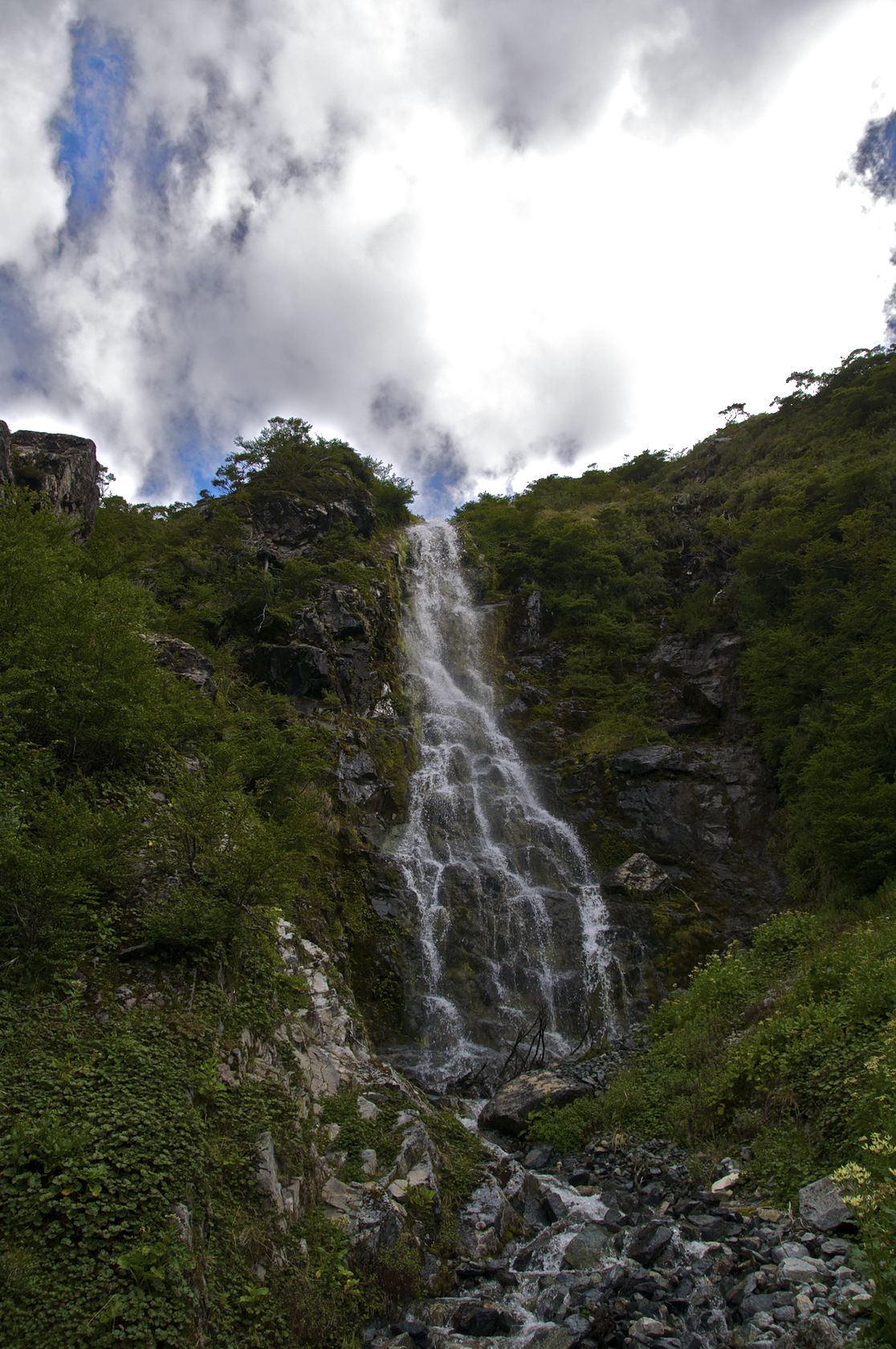
Above the lake I found a nice little waterfall where I took a little shower.

_DSC0212.jpg

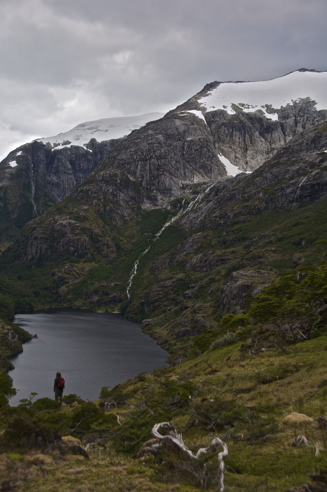
We found a lookout over a lake....

_DSC0268.jpg

... which has a relatively nice looking river flowing out of it.

_DSC0283pano.jpg

We started to try to make our way down a different to try to get a look at the river

_DSC0314.jpg

With some snacks along the way.

_DSC0318.jpg

Eventually I made it down to the river which looks relatively nice, but it's too low volume to make for any sort of reasonable paddling. There may be a couple of fun drops, but in general with 150-200 cfs looking to be high-ish for the river the whole thing probably will be more work than paddling.

_DSC0347.jpg

_DSC0348.jpg

Escape from Puerto Williams

On March 4th we finally go our zarpe, and we able to leave Puerto Williams.

Even though we had our zarpe there  was still the formality of waiting for a pilot to show up as Pelagic Australis was lashed outside of us and displaces over 50 tons.

GOPR1447.jpg

Our honor guard escorting us out of the Micalvi.

_DSC0017.jpg

A crew in motion is a happy crew.

_DSC0014.jpg

We motored through the night so the Swedish scientist on board could get right to work, so we got to see a few of Chile's automated light stations.

_DSC0025.jpg

A nice sunset from a different location!

_DSC0026.jpg

_DSC0036.jpg

Evening light on the water is nice.

_DSC0040.jpg

Speed Run

[Update 2 at the bottom!]

Well, we're still here in Puerto Williams. Everyone has arrived for our first 10 day or so expedition, but or permits haven't! Hopefully we will be able to get out tomorrow.

Anyways, here are a few recent pics from around the Micalvi.

_DSC0210.jpg

_DSC0219.jpg

_DSC0223.jpg

Update: We're going in the morning! Hopefully I can update while I'm at sea!

Update 2 (3/3): We're still here....